Safety Harbor in Pinellas County, Florida — The American South (South Atlantic)
Spanish Garrison-Mission at Philippe Park

Photographed by Lou Claudio
1. Spanish Garrison-Mission at Philippe Park Marker
Menendez, Spanish governor of Florida, after building a fort at St. Augustine (1565) came to this site in 1567 and persuaded the Indian chief Tocobago and his 1500 braves who lived here, to accept Christianity. Menendez erected a blockhouse for a mission used by Jesuit priest, Father Rogel, and 30 soldiers.
Later, during Rogel’s absence, the Indians massacred all but three soldiers, and these were killed when Rogel’s ship appeared in the bay. The mission was abandoned in 1568.
This commemorative plaque erected by Florida Society Colonial Dames XVII Century January 14, 1961
Erected 1961 by Florida Society Colonial Dames XVII Century.
Topics and series. This historical marker is listed in these topic lists: Anthropology & Archaeology • Colonial Era • Forts and Castles • Indigenous Peoples and Communities • Religion & Religious Structures • Settlements & Settlers. In addition, it is included in the The Colonial Dames XVII Century, National Society series list. A significant historical year for this entry is 1567.
Location. 28° 0.607′ N, 82° 40.784′ W. Marker is in Safety Harbor, Florida,
this page online

Regionally, this marker is on the Gulf Coast and on Tampa Bay. It is also in the American South and on the Gulf Coast. Globally, it is in the North Atlantic Region, North America, a Gulf of Mexico state, the Western Hemisphere, the Western World, and the Anglosphere. Historically, it finds itself in what was once New Spain, the territory of the Mississippian Culture, one of the Confederate States of America, and the Antebellum South.
Other nearby markers. At least 8 other markers are within 2 miles of this marker, measured as the crow flies: Bahia Espiritu Santo Mission (a few steps from this marker); Tocobaga Temple Mound (about 800 feet away, measured in a direct line); Safety Harbor Site (about 800 feet away); Philippe Park (approx. 0.2 miles away); Odet Philippe (approx. 0.2 miles away); Espiritu Santo Church (approx. 0.4 miles away);
Photographed by Lou Claudio, 2015
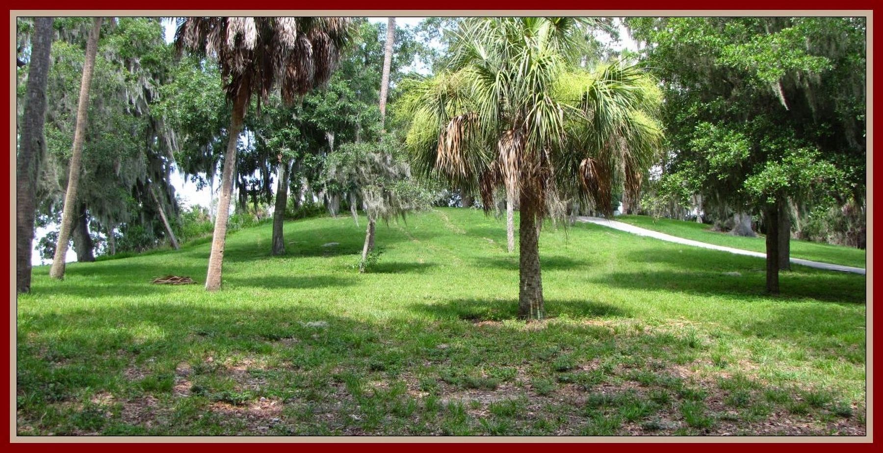
2. Ceremonial Mound of Tocobaga
Near the location of the Spanish garrison-mission San Gregorio de Tocobaga established 1567 at the tribe's capital village site, currently located within a Pinellas County public park.
Regarding Spanish Garrison-Mission at Philippe Park. Situated on the shore of Upper Tampa Bay, this park preserves an extant Native American (Tocobaga) ceremonial mound—one of the few remaining in Florida. The site marks the historic capital village of the Tocobaga, visited by Spanish expeditions in 1528, 1549, and 1567. While a Spanish garrison and mission were established here, the soldiers quickly wore out their welcome by stealing food, abusing Tocobaga women, and forcefully imposing Christianity, ultimately leading to a retaliatory massacre of the garrison. Although no visible traces of the Spanish structures remain today, numerous artifacts have been uncovered to confirm their presence.
Additional keywords. Pedro Menéndez de Avilés, Spanish, Conquistadors, Native Americans
Credits. This page was last revised on July 11, 2026. It was originally submitted on June 21, 2026, by Lou Claudio of Safety Harbor, Florida. This page has been viewed 26 times since then. Photos: 1. submitted on June 21, 2026, by Lou Claudio of Safety Harbor, Florida. 2. submitted on June 26, 2026, by Lou Claudio of Safety Harbor, Florida. • Bernard Fisher was the editor who published this page.
