Catskill in Greene County, New York — The American Northeast (Mid-Atlantic)
Land Acknowledgement
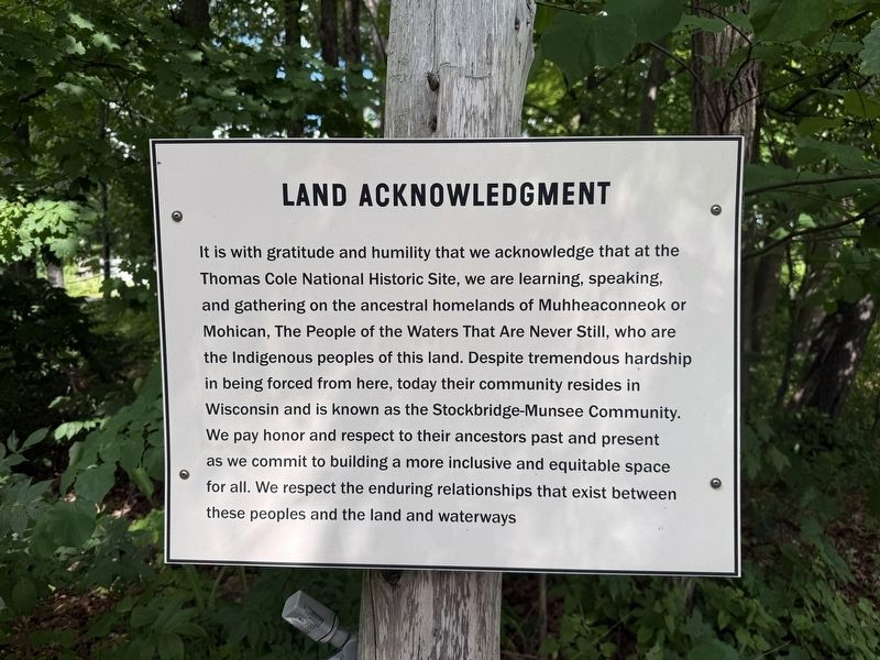
It is with gratitude and humility that we acknowledge that at the Thomas Cole National Historic Site, we are learning, speaking, and gathering on the ancestral homelands of the Muhheaconneok or Mohican, The People of the Waters That Are Never Still, who are the Indigenous peoples of this land. Despite tremendous hardship in being forced from here, today their community resides in Wisconsin and is known as the Stockbridge-Munsee Community. We pay honor and respect to their ancestors past and present as we commit to building a more inclusive and equitable space for all. We respect the enduring relationships that exist between these peoples and the land and waterways
Topics. This historical marker is listed in these topic lists: Indigenous Peoples and Communities • Natural Features • Settlements & Settlers • Waterways & Vessels.
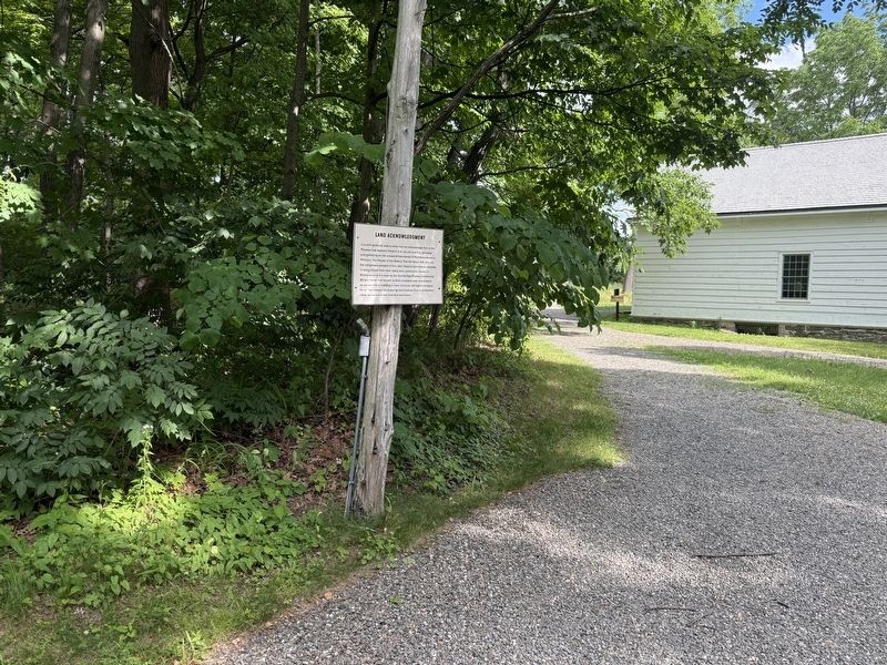
Location. 42° 13.557′ N, 73° 51.656′ W. Marker is in Catskill, New York, in Greene County. It can be reached from Gardiner Street east of Spring Street (New York State Route 385), on the right when traveling east. Touch for map. Marker
this page online

Regionally, this marker is in Upstate New York and in the Hudson Valley. It is also in the American Northeast and in the Mid-Atlantic. Globally, it is in North America, the Western Hemisphere, the Western World, and the Anglosphere. Historically, it finds itself in what was once New Netherland and also one of the original Thirteen Colonies.
Other nearby markers. At least 8 other markers are within walking distance of this marker: Visiting the Thomas Cole National Historic Site (a few steps from this marker); Welcome to Cedar Grove (a few steps from this marker); Hudson River School Art Trail (a few steps from this marker); Map of the Thomas Cole National Historic Site (a few steps from this marker); Traditional Plantings (within shouting distance of this marker); Cedar Grove in Thomas Cole's Time (within shouting distance of this marker); Burns-Curran Maintenance Facility (approx. 0.3 miles away); "Cross Here and Save Time" (approx. 0.3 miles away). Touch for a list and map of all markers in Catskill.
Credits. This page was last revised on June 24, 2026. It was originally submitted on June 24, 2026, by Devry Becker Jones of Washington, District of Columbia. This page has been viewed 10 times since then. Photos: 1, 2. submitted on June 24, 2026, by Devry Becker Jones of Washington, District of Columbia.
