
Norfolk, Virginia — The American South (Mid-Atlantic)
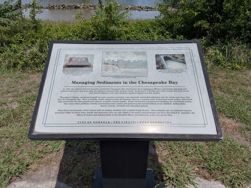
Managing Sediments in the Chesapeake Bay
Photographed by Evan Dwyer, June 7, 2026
1. Managing Sediments in the Chesapeake Bay Marker
Throughout Virginia, stormwater runoff can carry excessive nutrients, toxic chemicals and eroded sediments into the creeks and rivers that feed the Chesapeake Bay. Here in Norfolk, eroded sediments from development sites are a common cause of decreased water quality, diminished light penetration for plant growth and reduced navigable channel depths. Proper stormwater management minimizes the accelerated erosion that causes these problems, thereby maintaining water quality and preserving the natural habitat of our shellfish, wading birds, marine animals, wetlands and submerged grasses.
Plum Point was formerly a field of grass with an eroding shoreline and a limited fringe of trees. New wetlands and an enhanced resource protection buffer of native trees, shrubs and perennials have
this page online
Image Captions:
Many storm drains transport runoff directly into streams and rivers and ultimately into the Chesapeake Bay.
Plum Point's improved Resource Protection Area and wetlands slow, dilute and filter sediments from stormwater runoff.
Turbid water from storm drains carries sedimentation, which has a negative impact on water quality in Hampton Roads.
Erected by City of Norfolk and The Virginia Port Authority.
Topics. This historical marker is listed in these topic lists: Environment • Parks & Recreational Areas • Waterways & Vessels. A significant historical year for this entry is 1988.
Location. 36° 51.639′ N, 76° 18.509′ W. Marker is in Norfolk, Virginia. It can be reached from Riverview Avenue 0.1 miles west of Brambleton Avenue, on the left when traveling north. Marker is in Plum Point Park. Touch for map. Marker is at or near this postal address: 1001 West Brambleton Avenue, Norfolk VA 23510, United States of America. Touch for directions.

Regionally,
Photographed by Evan Dwyer, June 7, 2026
2. Plum Point Park
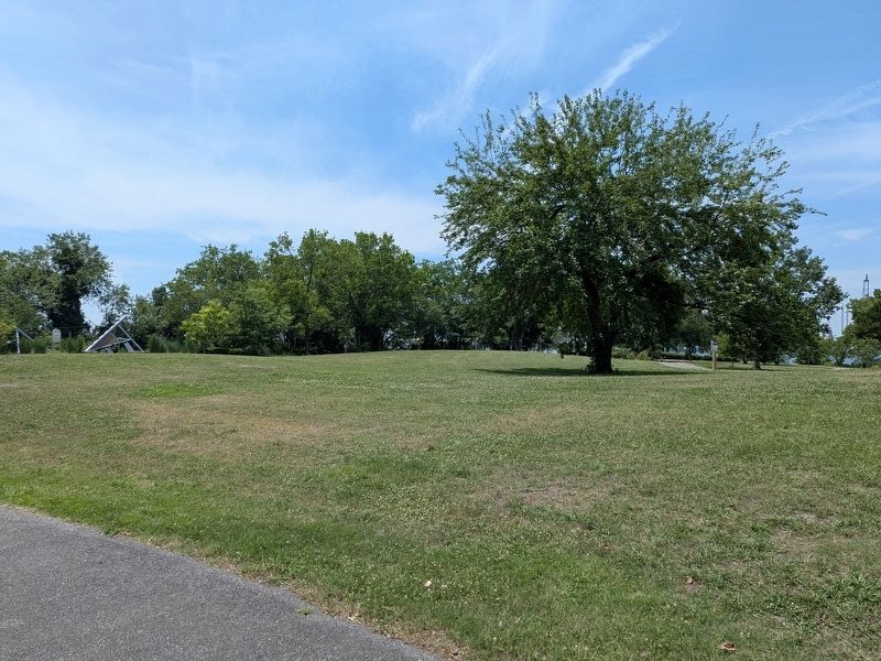
The marker is out of sight to the right of the frame along the water's edge, facing north.
Other nearby markers. At least 8 other markers are within walking distance of this marker: War of 1812 Elizabeth River Defenses/War of 1812 (within shouting distance of this marker); The Creation of Plum Point Park (within shouting distance of this marker); Historical Points of Interest (within shouting distance of this marker); Elizabeth River Restoration (about 500 feet away, measured in a direct line); Atlantic City (approx. 0.2 miles away); Fort Norfolk (approx. 0.2 miles away); Craney Island (approx. ¼ mile away); Development and Architecture of Fort Norfolk (approx. 0.3 miles away). Touch for a list and map of all markers in Norfolk.
Credits. This page was last revised on July 3, 2026. It was originally submitted on June 27, 2026, by Evan Dwyer of Richmond, Virginia. This page has been viewed 8 times since then. Photos: 1, 2. submitted on June 27, 2026, by Evan Dwyer of Richmond, Virginia. • Andrew Ruppenstein was the editor who published this page.
