Norfolk, Virginia — The American South (Mid-Atlantic)
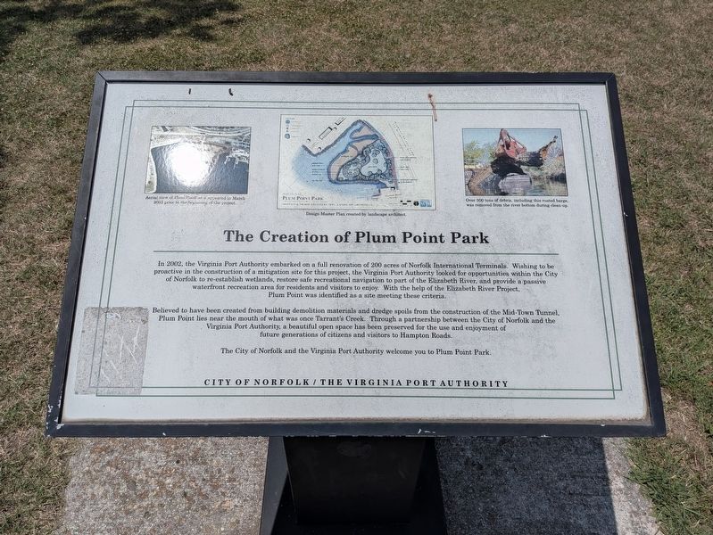
The Creation of Plum Point Park
Photographed by Evan Dwyer, June 7, 2026
1. The Creation of Plum Point Park Marker
Believed to have been created from building demolition materials and dredge spoils from the construction of the Mid-Town Tunnel, Plum Point lies near the mouth of what was once Tarrant's Creek. Through a partnership between the City of Norfolk and the Virginia Port Authority, a beautiful open space has been preserved for the use and enjoyment of future generations of citizens and visitors to Hampton Roads.
The City of Norfolk and the Virginia Port Authority welcome you to Plum Point Park.
Image Captions:
Aerial view of Plum Point as it appeared in March 2003 prior to the beginning of the project.
Design Master Plan created by landscape architect.
Over 500 tons of debris, including this rusted barge, was removed from the river bottom during clean-up.
Erected by City
this page online
Topics. This historical marker is listed in these topic lists: Environment • Parks & Recreational Areas • Waterways & Vessels. A significant historical year for this entry is 2002.
Location. 36° 51.622′ N, 76° 18.52′ W. Marker is in Norfolk, Virginia. It can be reached from Riverview Avenue 0.2 miles west of Brambleton Avenue, on the left when traveling north. Marker is within Plum Point Park. Touch for map. Marker is at or near this postal address: 1001 West Brambleton Avenue, Norfolk VA 23510, United States of America. Touch for directions.

Regionally, this marker is in Hampton Roads, specifically in Coastal Virginia, and in the Hampton Roads Metropolitan Area. It is also in the American South, specifically in the Upper South, in the Tidewater, and on the Eastern Seaboard. Globally, it is in the North Atlantic Region, North America, the Western Hemisphere, the Western World, and the Anglosphere. Historically, it finds itself in what was once the territory of the Mississippian Culture, one of the original Thirteen Colonies, one of the Confederate States of America, and the Antebellum South.
Other nearby markers. At least 8 other markers are within walking distance of this marker: War of 1812 Elizabeth River Defenses/War of 1812
Photographed by Evan Dwyer, June 7, 2026
2. Plum Point Park
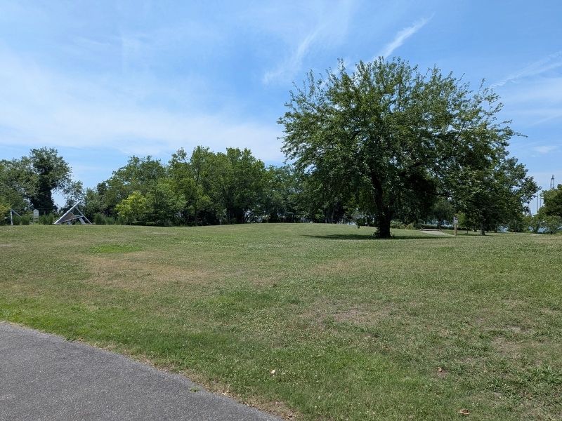
Is the slightly rolling topography because of the tunnel spoils mentioned in the marker?
Photographed by Evan Dwyer, June 7, 2026
3. Anchor Displays
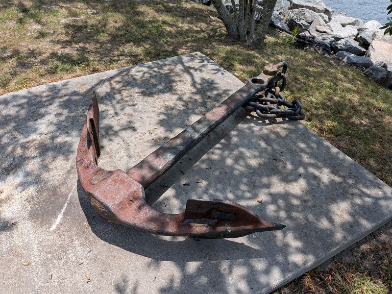
One of two in Plum Point Park. They are without interpretation.

Photographed by Evan Dwyer, June 7, 2026
4. Anchor Display
This is the second of the anchor displays, also without interpretation, though it does have a small tag screwed to the concrete that states "Anchor Display By Coastal Design & Construction." This particular example is an admiralty pattern anchor, but it is missing its cross stock. By the corrosion patterns on the iron, this anchor was submerged for an extended period - it is not uncommon for lost anchors to be found in the rivers and bays of Hampton Roads during construction projects and channel dredging operations. This may then be an example of a salvaged anchor. The admiralty pattern dates to 1841 and remains in use today.
Credits. This page was last revised on July 2, 2026. It was originally submitted on June 27, 2026, by Evan Dwyer of Richmond, Virginia. This page has been viewed 13 times since then. Photos: 1, 2, 3, 4. submitted on June 27, 2026, by Evan Dwyer of Richmond, Virginia. • Andrew Ruppenstein was the editor who published this page.
