
Port Republic in Rockingham County, Virginia — The American South (Mid-Atlantic)
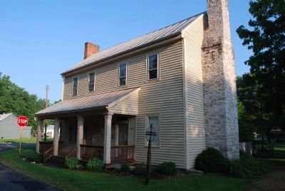
The Frank Kemper House
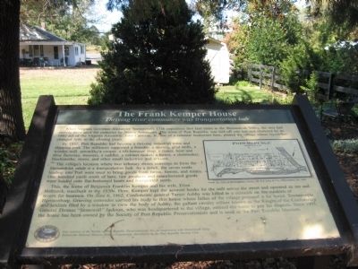
Thriving river community was transportation hub
Photographed by Robert H. Moore, II, October 20, 2007
1. The Frank Kemper House Marker
When Virginia Governor Alexander Spotswood’s 1716 expedition first laid claim to the Shenandoah Valley, the area had already been used for centuries by Native Americans. The town of port Republic was laid off into lots and chartered by an 1802 act of the Virginia Assembly. John Cathrae, Jr., son of a colonial landowner here, platted the village whose layout has changed little in the ensuing years.
By 1832, Port Republic had become a thriving industrial town and shipping port. The millraces supported a foundry, a tannery, grist mills, a woolen mill, sawmills/a cooper, a tilt-hammer shop, a tinner, boot and shoe factories, weavers, a saddler, a cabinet maker, a turner, a chairmaker, blacksmiths, stores, and other small industries and artisans.
The village’s location where two tributary rivers converge to form the Shenandoah made it a transportation hub. As a result, the seven roads leading into Port were used to bring goods from farms, forests, and mines. One hundred yards south of here, raw products and manufactured goods were loaded onto flat-bottomed boats and transported north.
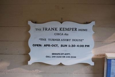
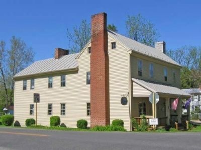
This, the home of Benjamin Franklin Kemper
this page online
Erected by Society of Port Republic Preservationists Inc., in cooperation with the Shenandoah Valley National Battlefields Historic District Commission. Installation by the Port Republic Ruritan Club.
Topics. This historical marker is listed in these topic lists: Agriculture • Indigenous Peoples and Communities • Settlements & Settlers • War, US Civil. A significant historical month for this entry is June 1742.
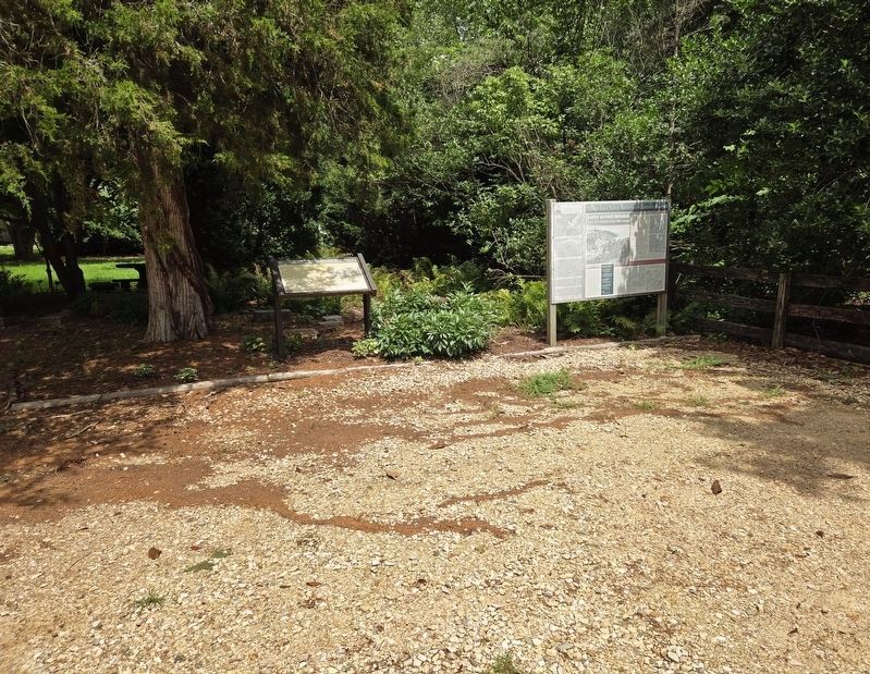
Location. This marker has been replaced by another marker nearby.
Photographed by Bradley Owen, July 21, 2025
2. The Frank Kemper House Marker

Regionally, this marker was in Virginia’s Shenandoah Valley. It was also in the American South and specifically in the Upper South. Globally, it was in North America, the Western Hemisphere, the Western World, and the Anglosphere. Historically, it found itself in what was once the territory of the Mississippian Culture, one of the original Thirteen Colonies, one of the Confederate States of America, and the Antebellum South.
Other nearby markers. At least 8 other markers are within 2 miles of this location, measured as the crow flies: A different marker also named The Frank Kemper House (here, next to this marker); Port Republic Battlefield (here, next to this marker); The Point (about 400 feet away, measured in a direct
Photographed by Brandon Fletcher, June 27, 2009
3. The Frank Kemper House Marker
Other markers no longer nearby. Shenandoah Valley Battlefields Historic District (was here, next to this marker but has been replaced with another marker now near it); a different marker also named North River Bridge (was about 500 feet away but has been replaced with another marker now near it); Riverside Graveyard (was approx. 0.3 miles away but has been replaced with another marker now near it); Port Republic Foundry (was approx. half a mile away but has been confirmed missing); Madison Hall (was approx. half a mile away but has been replaced with another marker now near it).
More about this marker. On the right side of the marker is a section From An Atlas of Rockingham County, Va. D.J. Lake & Co., Philadelphia, Pa.
Related marker. Click here for another
Photographed by Linda Walcroft, May 6, 2007
4. The Frank Kemper House
Also see . . . History of the Frank Kemper Home (Port Republic Museum). The Society of Port Republic Preservationists, Inc. website entry (Submitted on February 18, 2011, by Bernard Fisher of Richmond, Virginia.)
Photographed by Brandon Fletcher, June 27, 2009
5. The Frank Kemper House Marker
Credits. This page was last revised on July 13, 2026. It was originally submitted on March 4, 2009, by Robert H. Moore, II of Winchester, Virginia. This page has been viewed 4,147 times since then and 104 times this year. Last updated on July 3, 2026, by Mike McKeown of Baltimore, Maryland. Photos: 1. submitted on March 4, 2009, by Robert H. Moore, II of Winchester, Virginia. 2. submitted on July 28, 2025, by Bradley Owen of Morgantown, West Virginia. 3. submitted on July 22, 2015, by Brandon Fletcher of Chattanooga, Tennessee. 4. submitted on April 20, 2009, by Linda Walcroft of Woodstock, Virginia. 5. submitted on July 22, 2015, by Brandon Fletcher of Chattanooga, Tennessee. • Devry Becker Jones was the editor who published this page.
