
Crow Wing State Park in Crow Wing County, Minnesota — The American Midwest (Upper Plains)
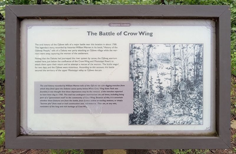
The Battle of Crow Wing
Chippewa Lookout
Photographed by McGhiever, June 28, 2025
1. The Battle of Crow Wing Marker
The oral history of the Ojibwe tells of a major battle near this location in about 1768. This legendary story, recorded by historian William Warren in his book, "History of the Ojibway People," tells of a Dakota war party attacking an Ojibwe village while the warriors were away, capturing the women of the settlement.
Noting that the Dakota had journeyed the river system by canoe, the Ojibwe warriors waited here, just below the confluence of the Crow Wing and Mississippi Rivers, to attack them upon their return and to attempt a rescue of the women. The battle waged for two days, and the Ojibwe emerged victorious. According to this account, this battle secured the territory of the upper Mississippi valley as Ojibwe domain.
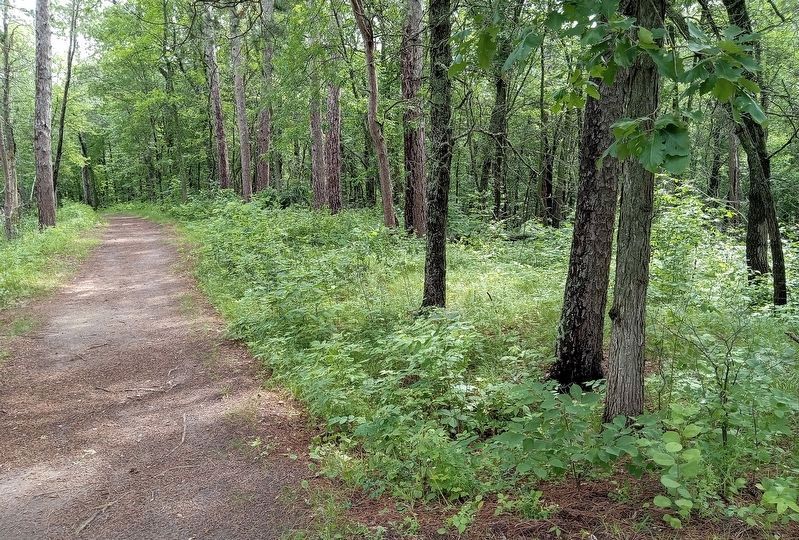
The oral history recorded by William Warren tells of the Ojibwe warriors digging trenches from which they fired upon the Dakota canoe party below. When Crow Wing State Park was founded, it was thought that these depressions may be the remains of the trenches reported to have been dug in 1768. This trail has undergone construction several times, including being part of a "government road" to the community of Crow Wing. Because of this, it is uncertain whether these features are from the battle, from former cabins or trading stations, or simply "borrow pits" from road or trail construction and maintenance. They are, at any rate, reminders of the long and rich heritage of Crow Wing.
Erected by the
this page online
Topics. This historical marker is listed in these topic lists: Indigenous Peoples and Communities • Wars, Non-US • Waterways & Vessels. A significant historical year for this entry is 1768.
Location. 46° 16.113′ N, 94° 20.442′ W. Marker is near Crow Wing, Minnesota, in Crow Wing County. It is in Crow Wing State Park. It can be reached from State Park Road (County Road 27). The marker is on the river trail about 0.4 miles south of the south picnic area. It is marked on park maps. Touch for map. Marker is in this post office area: Brainerd MN 56401, United States of America. Touch for directions.

Regionally, this marker is in Minnesota’s Northland. It is also in the American Midwest, in the Corn Belt, and in the Great River Road Region. Globally, it is in North America, the Great North Woods, the Western Hemisphere, the Western World, and the Anglosphere. Historically, it finds itself in what was once Rupert’s Land, the territory of the Mississippian Culture, and the Northwest Territory.
Other nearby markers. At least 8 other markers are within walking distance of
Photographed by McGhiever, June 28, 2025
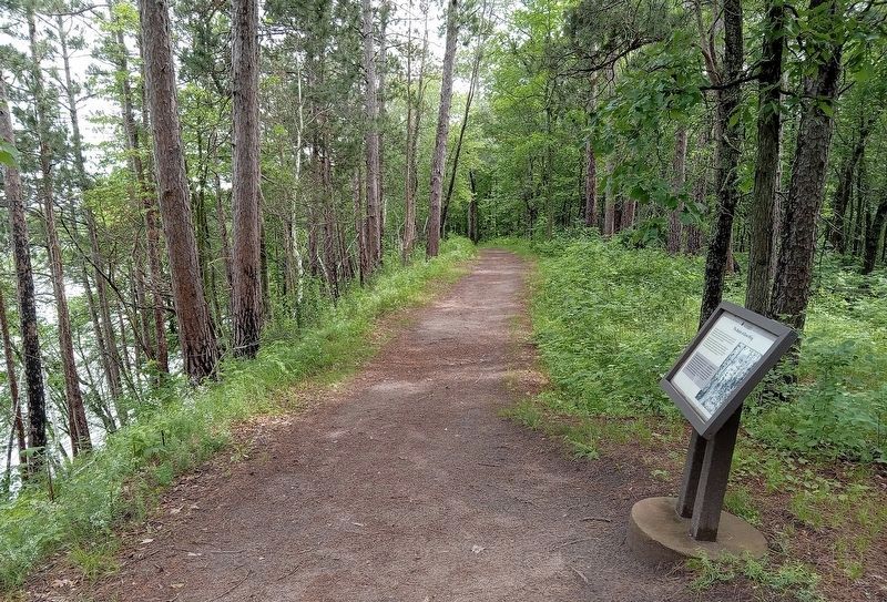
2. The Battle of Crow Wing Marker on a ridge over the Mississippi River
Also see . . . Chapter from "The History of the Ojibway People" recounting the battle. (Submitted on July 4, 2026, by McGhiever of Minneapolis, Minnesota.)
Photographed by McGhiever, June 28, 2025
3. Site of the possible rifle pits, just north of the marker
Credits. This page was last revised on July 4, 2026. It was originally submitted on July 4, 2026, by McGhiever of Minneapolis, Minnesota. This page has been viewed 11 times since then. Photos: 1, 2, 3. submitted on July 4, 2026, by McGhiever of Minneapolis, Minnesota.
