Jamestown in James City County, Virginia — The American South (Mid-Atlantic)
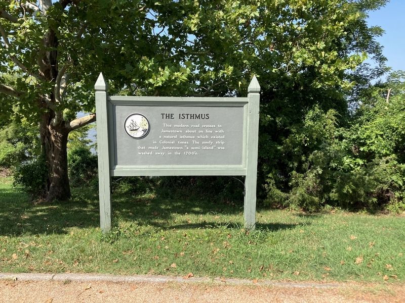
The Isthmus

Photographed by Tracy Andersen Roberts, July 3, 2026
1. The Isthmus Marker
Erected by National Park Service.
Topics. This historical marker is listed in these topic lists: Colonial Era • Roads & Vehicles • Waterways & Vessels. A significant historical year for this entry is 1608.
Location. 37° 12.97′ N, 76° 47.062′ W. Marker is in Jamestown, Virginia, in James City County. It is on Colonial National Historical Parkway 0.9 miles south of Jamestown Road (Virginia Route 31), on the right when traveling south. Touch for map. Marker is in this post office area: Jamestown VA 23081, United States of America. Touch for directions.

Regionally, this marker is on Virginia’s Peninsula, in Coastal Virginia, and in the Hampton Roads Metropolitan Area. It is also in the American South, specifically in the Upper South, in the Tidewater, and on the Eastern Seaboard. Globally, it is in the North Atlantic Region, North America, the Western Hemisphere, the Western World, and the Anglosphere. Historically,
this page online
Other nearby markers. At least 8 other markers are within walking distance of this marker: Glassmaking - 1608 (approx. 0.3 miles away); An Ancient Road (approx. 0.3 miles away); Interpreting the Glasshouse (approx. 0.3 miles away); The Glasshouse (approx. 0.3 miles away); Original Glasshouse, 1608 (approx. 0.3 miles away); Glasshouse Ruins (approx. 0.3 miles away); James River: Life Line to a Colony (approx. 0.4 miles away); Discovery (approx. 0.4 miles away). Touch for a list and map of all markers in Jamestown.
Also see . . . National Park Service website's entry.
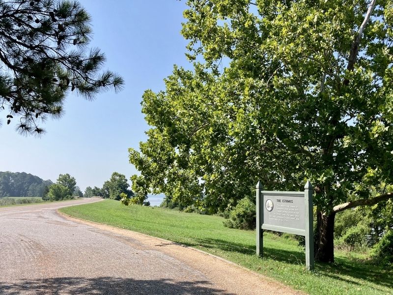
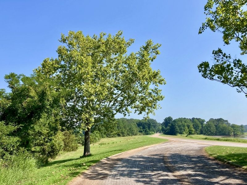
The narrow isthmus connecting Jamestown with the mainland was under water during high tide; the peninsula itself jutted into the James, affording the settlers a view several miles up and down the river from where they built their fort.(Submitted on July 7, 2026, by Tracy Andersen Roberts of Atlanta, Georgia.)
Photographed by Tracy Andersen Roberts, July 3, 2026
2. view of full marker
Photographed by Tracy Andersen Roberts, July 3, 2026
3. view to the south
Photographed by Tracy Andersen Roberts, July 3, 2026
4. view to the north
Credits. This page was last revised on July 14, 2026. It was originally submitted on July 7, 2026, by Tracy Andersen Roberts of Atlanta, Georgia. This page has been viewed 25 times since then. Photos: 1, 2, 3, 4. submitted on July 7, 2026, by Tracy Andersen Roberts of Atlanta, Georgia. • Bernard Fisher was the editor who published this page.
