
Near Luray in Page County, Virginia — The American South (Mid-Atlantic)
Willow Grove Mill
Burning the Bread Basket
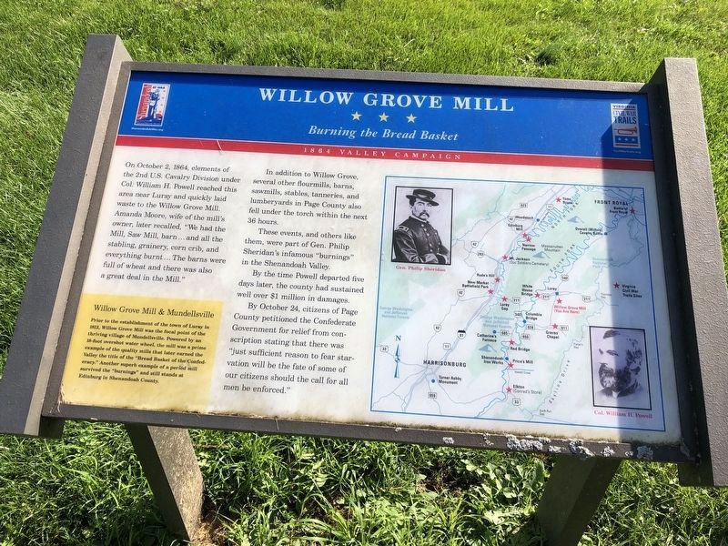
On October 2, 1864, elements of the 2nd U.S. Cavalry Division under Col. William H. Powell reached this area near Luray and quickly laid waste to the Willow Grove Mill. Amanda Moore, wife of the mill’s owner, later recalled, "We had the Mill, Saw Mill, barn ... and all the stabling, granary, corn crib, and everything burnt … the barns were full of wheat and also there was a great deal in the Mill.”
In addition to Willow Grove, several other flour mills, barns, sawmills, stables, tanneries and lumberyards in Page County also fell under the torch within the next 36 hours.
These events and others like them, were part of Gen. Philip Sheridan’s infamous “burnings” in the Shenandoah Valley.
By the time Powell departed five days later, the county had sustained well over $1 million in damages.
By October 24, citizens of Page County petitioned the Confederate government for relief from conscription stating that there was "just sufficient reason to fear starvation will be the fate of some of our citizens should the call for all men be enforced."
[Sidebar:]
Willow Grove and Mundellsville
Prior to the establishment of the town of Luray in 1812, Willow Grove Mill was the focal point of the thriving village of Mundellsville. Powered by an 18-foot overshot water wheel, the mill was a prime example of the quality mills that later earned the Valley the title of “Bread Basket of the Confederacy.” Another superb example of a period mill survived the “burnings” and still stands at Edinburg in Shenandoah County.
Erected 2002
this page online
Topics and series. This historical marker is listed in this topic list: War, US Civil. In addition, it is included in the Virginia Civil War Trails series list. A significant historical month for this entry is October 1864.
Location. 38° 39.245′ N, 78° 27.743′ W. Marker is near Luray, Virginia, in Page County. It is on Stonyman Road (County Route 642) east of Business U.S. 340. Touch for map. Marker is in this post office area: Luray VA 22835, United States of America. Touch for directions.

Regionally, this marker is in Virginia’s Shenandoah Valley. It is also in the American South and specifically in the Upper South. Globally, it is in North America, the Western Hemisphere, the Western World, and the Anglosphere. Historically, it finds itself in what was once the territory of the Mississippian Culture, one of the original Thirteen Colonies, one of the Confederate States of America, and the Antebellum South.
Other nearby markers. At least 8 other markers are within walking distance of this marker: Farm Machinery From The Past (approx. 0.4 miles away); Chinkapin Oak (approx. 0.7 miles away); A Slave Auction Block
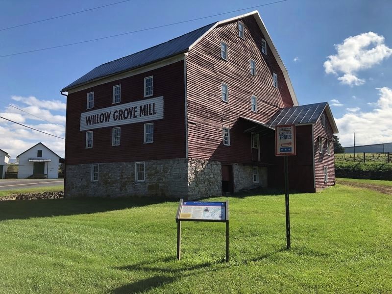
Regarding Willow Grove Mill. This marker is one of several detailing Civil War activities in Page County, Virginia. Please see the Page County Civil War Markers link below.
Also see . . .
1. Avenue of Armies: Civil War Sites and Stories of Luray and Page County, Virginia. for more information about Civil War sites in Luray and Page County, Virginia. (Submitted on July 10, 2007, by Robert H. Moore, II of Winchester, Virginia.)
2. Page County Civil War Markers. (Submitted on February 25, 2009, by Craig Swain of Leesburg, Virginia.)
3. Sheridan's Valley Campaign (National Park Service). (Submitted on July 3, 2026, by Mike McKeown of Baltimore, Maryland.)
Photographed by Robert H. Moore, II, June 2001
3. Willow Grove Mill
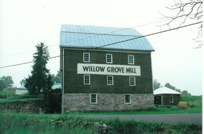
Willow Grove Mill was rebuilt after the Burning and thrived as a business well into the 20th century.
Credits. This page was last revised on July 10, 2026. It was originally submitted on July 10, 2007, by Robert H. Moore, II of Winchester, Virginia. This page has been viewed 5,540 times since then and 153 times this year. Last updated on July 10, 2026, by Robert H. Moore, II of Winchester, Virginia. Photos: 1, 2. submitted on November 2, 2020, by Devry Becker Jones of Washington, District of Columbia. 3. submitted on July 10, 2007, by Robert H. Moore, II of Winchester, Virginia. • Devry Becker Jones was the editor who published this page.
