
Near Hamburg in St. Charles County, Missouri — The American Midwest (Upper Plains)
Exploring the Bottomland Forests
The Journey of Lewis and Clark: Weldon Spring Conservation Area
Photographed by Julie Cordes, June 25, 2026
1. Exploring the Bottomland Forests Marker
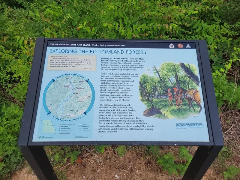
Leaving St. Charles behind, Lewis and Clark passed farmers, merchants and traders living along the Missouri River. A friendly group of Kickapoo hunters were among the traders. As the expedition departed, William Clark had arranged for the Kickapoo to help with provisions.
Settlers relied on the wildlife, fsh and wild fruits and vegetables to keep their families fed. Soils in the bottomlands were fertile, but farmsteads were small and yielded bare subsistence. To the settlers, expanding markets and new families foretold productive days ahead. Exploring the bottomland forests along the way, the crew continued to encounter settlements until La Charette or Marthasville, about 50 miles from St. Charles.
The bottomland forests statewide developed on deep floodplain soils, replenished wth silt from the flooding rivers. Trees, such as sycamore and cottonwood, grew large due to fertile bottomland soils and ample moisture. Tree giants often reached 100 feet in height and two feet or more in diameter. Bottomland forests have mostly disappeared because the rich soils yield productive agriculture land, but the river bottoms remain
this page online
May 22nd Tuesday 1804
...passed several small farms on the bank...a camp of Kickapoos on the St. Side Those Indians told me several days ago that they would come on & hunt and by the time I got to their Camp they would have some Provisions for us...soon after we came too the Indians arrived with 4 Deer as a Present...
William Clark
[Caption:]
Americans had little contact wth the Kickapoo, a tribe related to the Sac, Fox and Shawnee. As the expedition began in 1804, Lewis and Clark traded with the Kickapoo for seven deer and noted that they "passed 12 canoes of Kickapoos" in 1806.
Topics. This historical marker is listed in these topic lists: Agriculture • Exploration • Indigenous Peoples and Communities • Waterways & Vessels. A significant historical date for this entry is May 22, 1804.
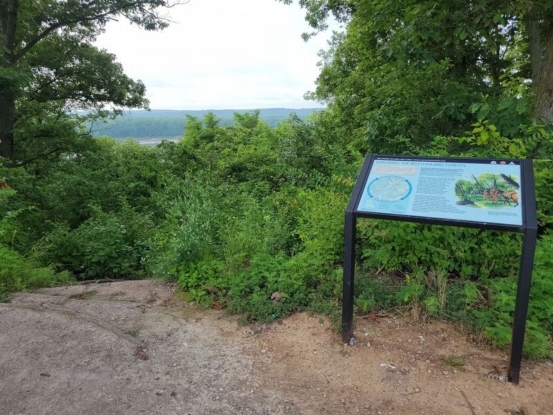
Location. 38° 39.94′ N, 90° 44.076′ W. Marker is near Hamburg, Missouri, in St. Charles County. It is on State Highway 94 2.6 miles east of Local Highway DD, on the right when traveling east. The marker stands in the Weldon’s Spring Scenic View, right on MO 94. Touch for map. Marker is at or near this postal
Photographed by Julie Cordes, June 25, 2026
2. Exploring the Bottomland Forests Marker

Regionally, this marker is in the Missouri River Corridor and in Greater St. Louis. It is also in the American Midwest, in the Lewis & Clark Corridor, in the Corn Belt, and in the Great River Road Region. Globally, it is in North America, the Western Hemisphere, the Western World, and the Anglosphere. Historically, it finds itself in what was once the territory of the Mississippian Culture, the Louisiana Purchase, and the Antebellum South.
Other nearby markers. At least 8 other markers are within 3 miles of this marker, measured as the crow flies: Weldon Spring Site (approx. 0.6 miles away); Weldon Spring to Greens Bottom (approx. 0.6 miles away); Weldon Spring to Matson (approx. 0.8 miles away); a different marker also named The Weldon Spring Site (approx. 2.2 miles away); Historic Centaur (approx. 2.4 miles away); The Hamburg Trail (approx. 2.8 miles away); John L. LeCave Memorial Trailhead (approx. 2.8 miles away); Baseball in Defiance (approx. 3 miles away).
Photographed by Julie Cordes, June 25, 2026
3. Exploring the Bottomland Forests Marker
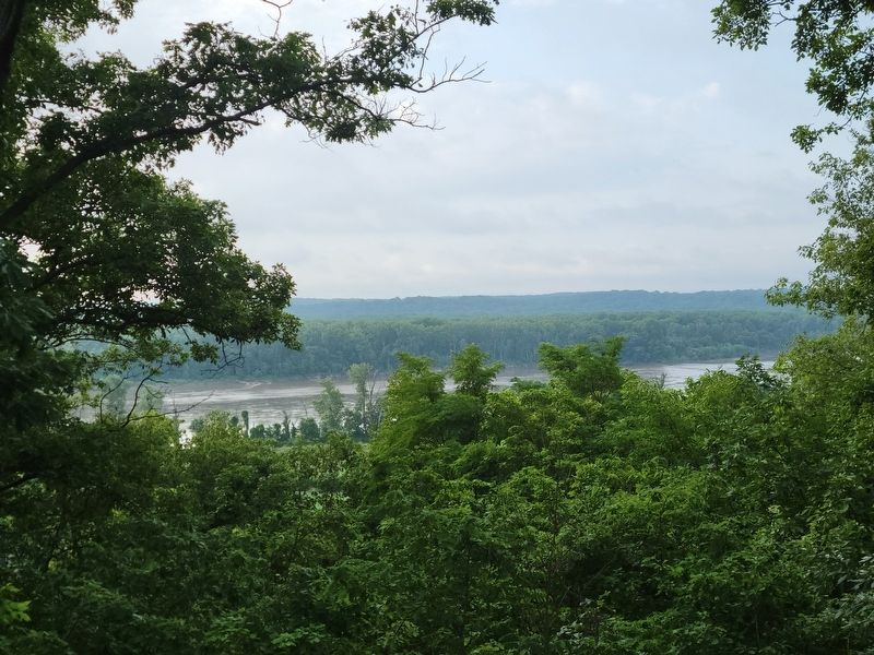
Standng on the nearby rock to see the river better.
Credits. This page was last revised on July 13, 2026. It was originally submitted on July 11, 2026, by Julie Cordes of Bartonville, Illinois. This page has been viewed 16 times since then. Photos: 1, 2, 3. submitted on July 11, 2026, by Julie Cordes of Bartonville, Illinois. • Devry Becker Jones was the editor who published this page.
