Little Compton in Newport County, Rhode Island — The American Northeast (New England)
13,000 Years
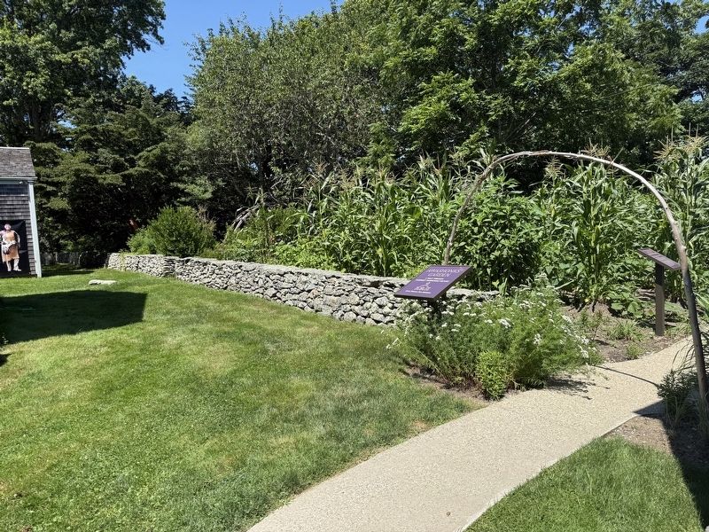
| — | Awashonks Garden | — |
Photographed by G.W.Bartlett, July 26, 2026
1. 13,000 Years Marker
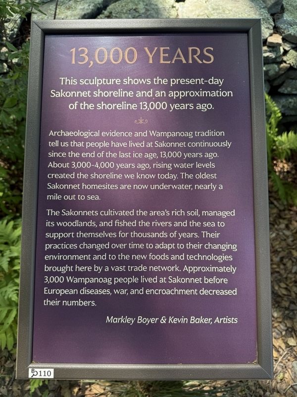
Archaeological evidence and Wampanoag tradition tell us that people have lived at Sakonnet continuously since the end of the last ice age, 13,000 years ago. About 3,000-4,000 years ago, rising water levels created the shoreline we know today. The oldest Sakonnet homesites are now underwater, nearly a mile out to sea.
The Sakonnets cultivated the area's rich soil, managed its woodlands, and fished the rivers and the sea to support themselves for thousands of years. Their practices changed over time to adapt to their changing environment and to the new foods and technologies brought here by a vast trade network. Approximately 3,000 Wampanoag people lived at Sakonnet before European diseases, war, and encroachment decreased their numbers.
Markley Boyer & Kevin Baker, Artists
B#110
Erected 2025 by Little Compton Rhode Island. (Marker Number 110.)
Topics and series. This historical marker is listed in these topic lists: Arts, Letters, Music • Environment • Indigenous Peoples and Communities
this page online
Location. 41° 29.573′ N, 71° 11.093′ W. Marker is in Little Compton, Rhode Island, in Newport County. It can be reached from West Main Road (Rhode Island Route 77), on the right when traveling north. Touch for map. Marker is at or near this postal address: 548 West Main Road, Little Compton RI 02837, United States of America. Touch for directions.

Regionally, this marker is on Narragansett Bay. It is also in the American Northeast, in New England, and on the Eastern Seaboard. Globally, it is in the North Atlantic Region, North America, the Western Hemisphere, the Western World, and the Anglosphere. Historically, it finds itself in what was once one of the original Thirteen Colonies.
Other nearby markers. At least 8 other markers are within walking distance of this marker: Ancient Connections (a few steps from this marker); Wilbor House (within shouting distance of this marker); Turtle Island (within shouting distance of this marker); Attuck: Sentinal of the Land
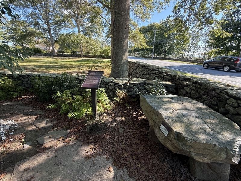
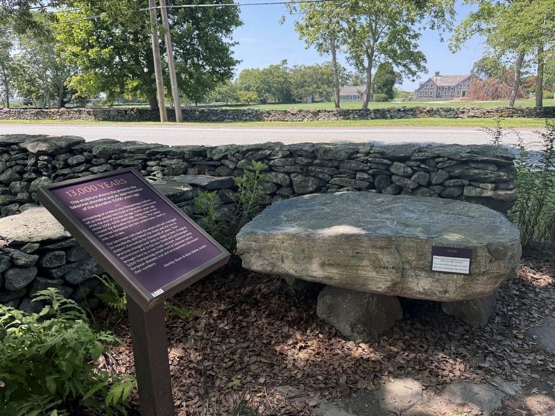
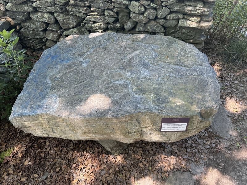
Also see . . . Awashonks Garden Exhibit #110. Sea-level Map: Sakonnet Today and 13,000 Years Ago (Submitted on July 29, 2026, by G.W.Bartlett of Hingham, Massachusetts.)
Photographed by G.W.Bartlett, July 26, 2026
3. 13,000 Years Marker
Photographed by G.W.Bartlett, July 26, 2026
4. 13,000 YEARS Sculpture
Photographed by G.W.Bartlett, July 26, 2026
5. Awashonks Garden Entrance
The entrance to Awanshonks Garden is behind the Wilbor House on the Little Compton Historical Society grounds.
Credits. This page was last revised on September 27, 2026. It was originally submitted on July 29, 2026, by G.W.Bartlett of Hingham, Massachusetts. This page has been viewed 18 times since then. Photos: 1. submitted on July 29, 2026, by G.W.Bartlett of Hingham, Massachusetts. 2. submitted on September 27, 2026, by Devry Becker Jones of Washington, District of Columbia. 3, 4, 5. submitted on July 29, 2026, by G.W.Bartlett of Hingham, Massachusetts. • Andrew Ruppenstein was the editor who published this page.
