Little Compton in Newport County, Rhode Island — The American Northeast (New England)
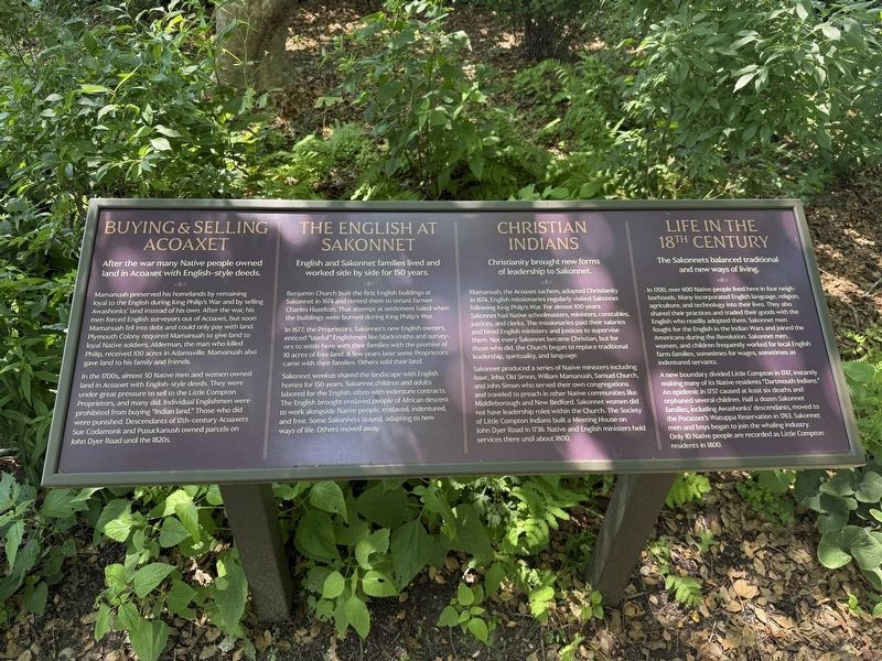
Buying & Selling Acoaxet
⎯⎯⎯
The English at Sakonnet
⎯⎯⎯
Christian Indians
⎯⎯⎯
Life in the 18th Century
| — | [Awashonks Garden] | — |
Photographed by G.W.Bartlett, July 26, 2026
1. Buying & Selling Acoaxet Marker
After the war many Native people owned land in Acoaxet with English-style deeds.
Mamanuah preserved his homelands by remaining loyal to the English during King Philip's War and by selling Awashonks' land instead of his own. After the war, his men forced English surveyors out of Acoaxet, but soon Mamanuah fell into debt and could only pay with land. Plymouth Colony required Mamanuah to give land to loyal Native soldiers. Alderman, the man who killed Philip received 100 acres in Adamsville. Mamanuah also gave land to his family and friends.
In the 1700s, almost 50 Native men and women owned land in Acoaxet with English-style deeds. They were under great pressure to sell to the Little Compton Proprietors, and many did. Individual Englishmen were prohibited from buying "Indian land." Those who did were punished. Descendants of 17th-century Acoaxets Sue Codamonk and Pusuckanush owned parcels on John Dyer Road until the 1820s.
English and Sakonnet families lived and worked side by side for 150 years.
Benjamin Church built the first English buildings at
this page online
In 1677, the Proprietors, Sakonnet's new English owners, enticed "useful" Englishmen like blacksmiths and surveyors to settle here with their families with the promise of 10 acres of free land. A few years later some Proprietors came with their families. Others sold their land.
Sakonnet weekus shared the landscape with English homes for 150 years. Sakonnet children and adults labored for the English, often with indenture contracts. The English brought enslaved people of African descent to work alongside Native people, enslaved, indentured and free. Some Sakonnets stayed, adapting to new ways of life. Others moved away.
Christianity brought new forms of leadership to Sakonnet.
Mamanuah, the Acoaxet sachem, adopted Christianity in 1674. English missionaries regularly visited Sakonnet following King Philip's War. For almost 100 years Sakonnet had Native schoolmasters, ministers, constables, justices, and clerks. The missionaries paid their salaries and
Photographed by G.W.Bartlett, July 26, 2026
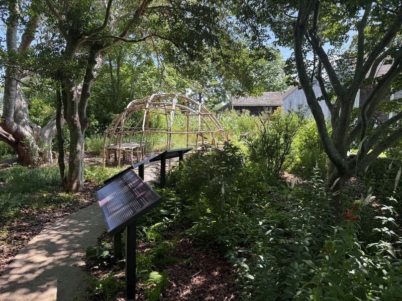
2. Buying & Selling Acoaxet Marker
Sakonnets produced a series of Native ministers including Isaac, Jehu, Old Simon, Willam Mamanuah, Samuel Church, and John Simon who served their own congregations and traveled to preach in other Native communities like Middleborough and New Bedford. Sakonnet women did not have leadership roles within the Church. The Society of Little Compton Indians built a Meeting House on John Dyer Road in 1736. Native and English ministers held services there until about 1800.
The Sakonnets balanced traditional and new ways of living.
In 1700, over 600 Native people lived here in four neighborhoods. Many incorporated English language, religion, agriculture, and technology into their lives. They also shared their practices and traded their goods with the English who readily adopted them. Sakonnet men fought for the English in the Indian Wars and joined the Americans during the Revolution. Sakonnet men, women,
Photographed by G.W.Bartlett, July 26, 2026
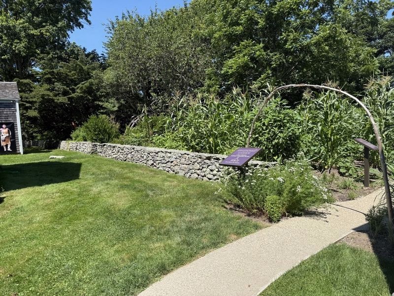
3. Awashonks Garden Entrance
Located behind the Wilbor House on Little Compton Historical Society grounds.
A new boundary divided Little Compton in 1747, instantly making many of its Native residents "Dartmouth Indians." An epidemic in 1757 caused at least six deaths and orphaned several children. Half a dozen Sakonnet families, including Awashonks' descendants, moved to the Pocasset's Watuppa Reservation in 1763. Sakonnet men and boys began to join the whaling industry. Only 10 Native people are recorded as Little Compton residents in 1800.
Erected 2025 by Little Compton Historical Society.
Topics and series. This memorial is listed in these topic lists: Colonial Era • Indigenous Peoples and Communities • Settlements & Settlers • Wars, US Indian. In addition, it is included in the King Philip's War 1675-1676, and the Rhode Island, Little Compton Historical Society series lists. A significant historical year for this entry is 1677.
Location. 41° 29.593′ N, 71° 11.083′ W. Memorial is in Little Compton, Rhode Island, in Newport County. It can be reached from West Main Road (Rhode Island Route 77) south of Fairfields Drive, on the right when traveling north. Touch for map. Memorial is at or near this postal address: 548 West Main Road, Little Compton RI 02837, United States of America. Touch for directions.

Regionally, this memorial is on Narragansett Bay. It is also in the American Northeast, in New England, and on the Eastern Seaboard. Globally, it is in the North Atlantic Region, North America, the Western Hemisphere, the Western World, and the Anglosphere. Historically, it finds itself in what was once one of the original Thirteen Colonies.
Other nearby markers. At least 8 other markers are within walking distance of this marker: The Sakonnet Diaspora / Native Neighbors / The Last 350 Years / The Next 350 Years (here, next to this marker); Distrust for the Newcomers (here, next to this marker); Mishoon (a few steps from this marker); Stone Walls (a few steps from this marker); Fal Solomon: Indentured Here / Honoring Fal (a few steps from this marker); Ancient Connections (a few steps from this marker); Three Sisters: A Symbiotic Garden (a few steps from this marker); Squant (a few steps from this marker). Touch for a list and map of all markers in Little Compton.
Related markers. Click here for a list of markers that are related to this marker.
Credits. This page was last revised on August 11, 2026. It was originally submitted on July 30, 2026, by G.W.Bartlett of Hingham, Massachusetts. This page has been viewed 19 times since then. Photos: 1, 2, 3. submitted on July 30, 2026, by G.W.Bartlett of Hingham, Massachusetts. • Michael Herrick was the editor who published this page.
