Millcreek Township in Erie in Erie County, Pennsylvania — The American Northeast (Mid-Atlantic)
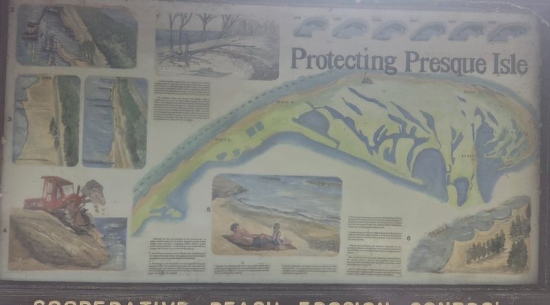
Protecting Presque Isle
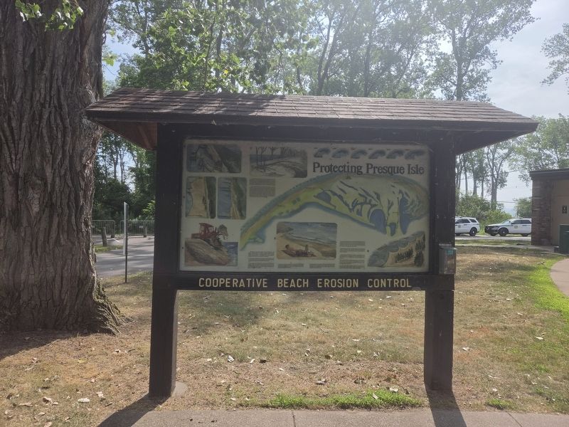
Cooperative Beach Erosion Control
Photographed by Mark Parker, July 15, 2026
1. Protecting Presque Isle Marker
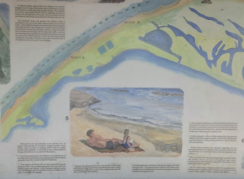
The peninsula forms and protects Erie Harbor, which considered to be one of the finest natural harbors on the Great Lakes. In the 1820s Erie Harbor became the first civil works project undertaken by the Corps of Engineers. A sandbar was removed and structures were built to form the harbor entrance. Protective works were constructed on Presque Isle throughout the 1800s to prevent storm damage that jeopardized the harbor by threatening to breach the narrow neck of the Peninsula. In 1922, the federal government transferred ownership of Presque Isle to the Commonwealth of Pennsylvania and a state park was established.
Although the care and protection of the peninsula was no longer considered part of the federal navigation project
this page online
1. Severe storms during the early 1950s led to the establishment of the cooperative beach erosion control program by both the federal government and the Commonwealth of Pennsylvania.
2. Work began in the fall of 1955 and was completed during the summer of 1956. Ten steel sheet-pile groins were constructed, two existing groins were altered, a badly damaged bulkhead section near the lighthouse groin was removed and over 6 million tons of sand nourishment was required.
3. Because the predominantly west-to-east currents remove more sand from peninsula beaches than is supplied by the same currents (as illustrated in these two views) it was recognized that periodic sand nourishment was required.
4. Sand nourishment continued periodically throughout the 1960s and early 1970s. The program became annual in 1975 with another six million tons of sand placed on the beaches through the end of the nourishment program in 1991.
5. The prototype breakwaters
Photographed by Mark Parker, July 15, 2026
2. Text closeup Protecting Presque Isle Marker
6. Studies during the 1970s and 1980s indicated that 58 segmented offshore breakwaters aligned parallel to the beaches with periodic sand nourishment would provide protection to the six-and-one-half mile peninsula.
Without such protection, the processes responsible for the geological evolution and migration of the peninsula would also be responsible for its eventual destruction unless the migration were stopped.
Thus, for the first time since people began to be concerned about this valuable resource, man has made significant steps toward resolution of the continuing battle against the natural forces which constantly batter Presque Isle.
The U.S. Army Corps of Engineers and the Commonwealth of Pennsylvania are working together to preserve this precious natural resource for the public, as well as to protect Erie Harbor.
Topics. This historical
Photographed by Mark Parker, July 15, 2026
3. Full kiosk view Protecting Presque Isle Marker
Location. 42° 8.547′ N, 80° 8.128′ W. Marker is in Erie, Pennsylvania, in Erie County. It is in Millcreek Township. It is on North Peninsula Drive 2.3 miles north of Old Lake Road, on the right when traveling north. The marker is near the parking area for the Ranger Station. Touch for map. Marker is at or near this postal address: 35 N Peninsula Dr, Erie PA 16505, United States of America. Touch for directions.

Regionally, this marker is in Northwestern Pennsylvania. It is also in the American Northeast, in the Mid-Atlantic, in Appalachia, and specifically in Northern Appalachia. Globally, it is in North America, on the Great Lakes, in the Western Hemisphere, in the Western World, and in the Anglosphere. Historically, it finds itself in what was once the Viceroyalty of New France, the Haudenosaunee (Iroquois) Confederacy, and one of the original Thirteen Colonies.
Other nearby markers. At least 8 other markers are within 2 miles of this marker,
Photographed by Mark Parker, July 15, 2026
4. Side view Protecting Presque Isle Marker near the Ranger Station
Credits. This page was last revised on September 17, 2026. It was originally submitted on July 30, 2026, by Mark Parker of Hickory, North Carolina. This page has been viewed 10 times since then. Photos: 1, 2, 3, 4. submitted on July 30, 2026, by Mark Parker of Hickory, North Carolina. • Bill Pfingsten was the editor who published this page.
