Near Hardy in Franklin County, Virginia — The American South (Mid-Atlantic)
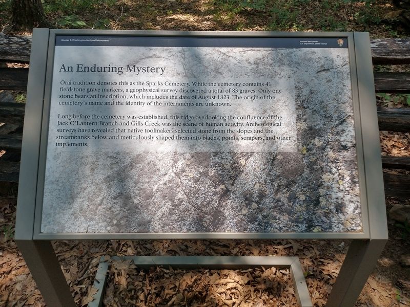
An Enduring Mystery
| — | Booker T. Washington National Monument | — |
Photographed by Tom Bosse, July 5, 2026
1. An Enduring Mystery Marker
Long before the cemetery was established, this ridge overlooking the confluence of the Jack O’Lantern Branch and Gills Creek was the scene of human activity. Archeological surveys have revealed that native toolmakers selected stone from the slopes and the streambanks below and meticulously shaped them into blades, points, scrapers, and other implements.
Erected by National Park Service - U.S. Department of the Interior.
Topics. This historical marker is listed in these topic lists: Anthropology & Archaeology • Cemeteries & Burial Sites • Indigenous Peoples and Communities. A significant historical month for this entry is August 1823.
Location. 37° 7.103′ N, 79° 43.963′ W. Marker is near Hardy, Virginia, in Franklin County. It can be reached from the intersection of Booker T Washington Highway (Virginia
this page online

Regionally, this marker is in Southern Virginia. It is also in the American South and specifically in the Upper South. Globally, it is in North America, the Western Hemisphere, the Western World, and the Anglosphere. Historically, it finds itself in what was once the territory of the Mississippian Culture, one of the original Thirteen Colonies, one of the Confederate States of America, and the Antebellum South.
Other nearby markers. At least 8 other markers are within walking distance of this marker: "On behalf of the United States" (about 500 feet away, measured in a direct line); Plantation Trail (about 500 feet away); Booker T. Washington National Monument (about 500 feet away); The Day of Freedom (about 500 feet away); Slavery in the Tobacco Kingdom (about 600 feet away); Booker T. Washington's Birthplace (about 600 feet away); "No period of my life … was devoted to play"
Photographed by Tom Bosse, July 5, 2026
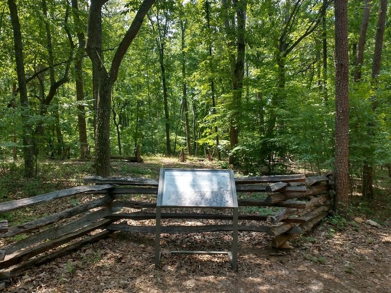
2. An Enduring Mystery Marker
Other markers no longer nearby. Slavery on the Plantation (was about 500 feet away but has been replaced with another marker now near it); The Landscape of Slavery (was about 500 feet away but has been replaced with another marker now near it); How Tobacco Farms Used Slavery (was about 600 feet away but has been replaced with another marker now near it); Freed Here, At Last (was about 600 feet away but has been replaced with another marker now near it).
Also see . . . Booker T. Washington National Monument. National Park Service (Submitted on August 4, 2026.)
Photographed by Tom Bosse, July 5, 2026
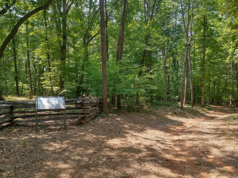
3. An Enduring Mystery Marker
Photographed by Tom Bosse, July 5, 2026
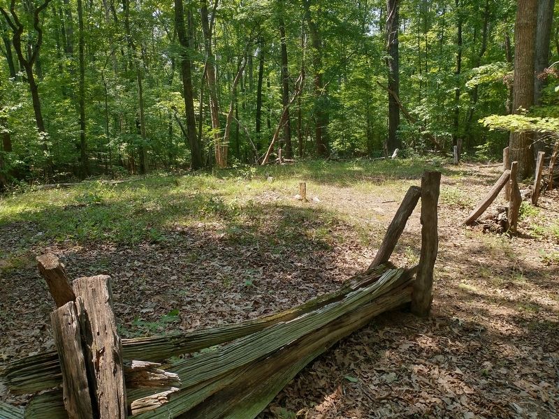
4. Sparks Cemetery
Credits. This page was last revised on August 4, 2026. It was originally submitted on August 2, 2026, by Tom Bosse of Jefferson City, Tennessee. This page has been viewed 14 times since then. Photos: 1, 2, 3, 4. submitted on August 2, 2026, by Tom Bosse of Jefferson City, Tennessee. • Bernard Fisher was the editor who published this page.
