Kerrville in Kerr County, Texas — The American South (West South Central)
Old Spanish Trail
Photographed by Brian Anderson, December 30, 2019
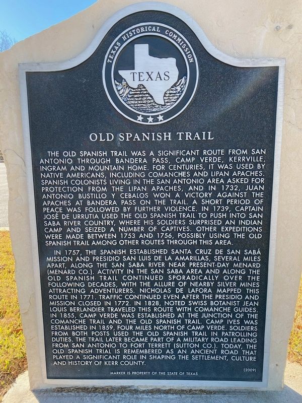
1. Old Spanish Trail Marker
The Old Spanish Trail was a significant route from San Antonio through Bandera Pass, Camp Verde, Kerrville, Ingram and Mountain Home. For centuries, it was used by Native Americans, including Comanches and Lipan Apaches. Spanish colonists living in the San Antonio area asked for protection from the Lipan Apaches, and in 1732, Juan Antonio Bustillo y Cebalos won a victory against the Apaches at Bandera Pass on the trail. A short period of peace was followed by further violence. In 1739, Captain Jose de Urrutia used the Old Spanish Trail to push into San Saba River country, where his soldiers surprised an Indian camp and seized a number of captives. Other expeditions were made between 1753 and 1756, possibly using the Old Spanish Trail among other routes through this area.
In 1757, the Spanish established Santa Cruz de San Saba Mission and Presidio San Luis de la Amarillas, several miles apart, along the San Saba River near present-day Menard (Menard Co.). Activity in the San Saba area and along the Old Spanish Trail continued sporadically over the following decades, with the allure of nearby silver mines attracting
this page online
Erected 2009 by Texas Historical Commission. (Marker Number 15842.)
Topics. This historical marker is listed in these topic lists: Hispanic Americans • Indigenous Peoples and Communities • Roads & Vehicles • Settlements & Settlers. A significant historical year for this entry is 1732.
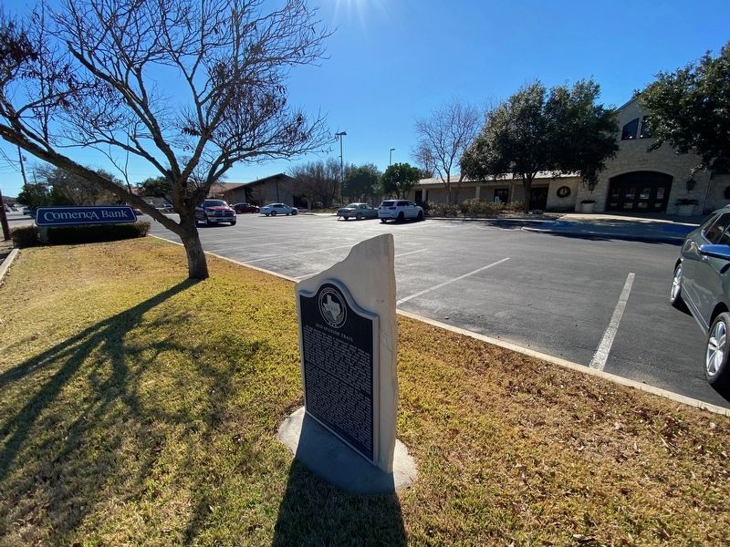
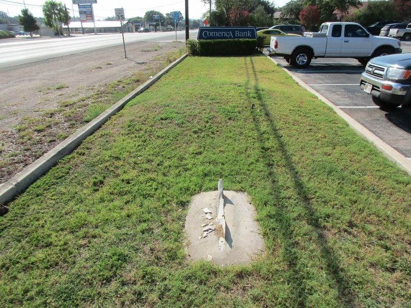
Location. Marker is missing. It was located near 30° 3.532′ N, 99° 9.874′ W. Marker was in Kerrville, Texas, in Kerr County.
Photographed by Brian Anderson, December 30, 2019
2. Old Spanish Trail Marker

Regionally, this marker was in the Hill Country. Globally, it was in North America, a Gulf of Mexico state, the Western Hemisphere, the Western World, and the Anglosphere. Historically, it found itself in what was once New Spain, the Republic of Texas, and one of the Confederate States of America.
Other nearby markers. At least 8 other markers are within 2 miles of this location, measured as the crow flies: Starkey Cemetery (approx. ¼ mile away); Kerrville Lodge No. 697, A.F. & A.M. (approx. 0.7 miles away); Order of the Eastern Star Kerrville Chapter #24 (approx. 0.7 miles away); Methodist Encampment Community (approx. one mile away); Gatlin Site (approx. 1.1 miles away); First Christian Church (approx. 1.2 miles away); Mount Olive Baptist Church (approx. 1.2 miles away); The Famous Door Cafe (approx. 1.2 miles
Photographed by Jeff Leichsenring, August 3, 2026
3. Missing Old Spanish Trail Marker
Credits. This page was last revised on August 5, 2026. It was originally submitted on December 30, 2019, by Brian Anderson of New Albany, Ohio. This page has been viewed 1,110 times since then and 96 times this year. Last updated on August 4, 2026, by Jeff Leichsenring of Garland, Texas. Photos: 1, 2. submitted on December 30, 2019, by Brian Anderson of New Albany, Ohio. 3. submitted on August 4, 2026, by Jeff Leichsenring of Garland, Texas. • Devry Becker Jones was the editor who published this page.
