Cumberland Township near Gettysburg in Adams County, Pennsylvania — The American Northeast (Mid-Atlantic)
Houghtelin Farmhouse
"Here the brigade drove the enemy"
Photographed by Mike McKeown, August 9, 2026
1. Houghtelin Farmhouse Marker
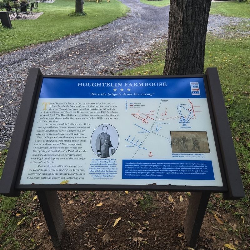
About noon on July 3, dismounted Union cavalry under Gen. Wesley Merritt moved north across this ground, part of a larger cavalry advance on the Confederate right and rear. "Here the brigade drove the enemy more than a mile, routing him from strong places, stone fences, and barricades," Merritt reported. The skirmishing lasted the rest of the day. The fighting at South Cavalry Field, which also included a disastrous Union cavalry charge near Big Round Top, was one of the last major actions of the battle.
That night, Merritt's men camped on the Houghtelin Farm, damaging the farm and destroying farmland, prompting Houghtelin to file a claim with the government after the war.
(sidebar)
Cornelius Houghtelin was one of about a dozen civilians in the area taken prisoner by Confederates during the battle. Fearing locals might provide information concerning their strength and position, the Confederates seized civilians who wandered into the southern lines, holding them as suspected spies, and took them south when they retreated. Most were imprisoned in Virginia until the end of the war, but the elderly Houghtelin gained his release through the kindness of a Confederate officer — after Cornelius revealed himself as a fellow mason.
(captions)
The 29-year-old Wesley Merritt was one of three "Boy Generals" promoted to brigadier general just days before the battle. The other two were Elon Farnsworth, who was killed while leading the disastrous cavalry charge near Big Round Top on July 3, and George Custer. Courtesy Library of Congress
Dismounted Union cavalry. Drawing by William Waud. - Courtesy Library of Congress
Erected 2026
this page online
Topics and series. This historical marker is listed in these topic lists: Abolition & Underground RR • Agriculture • War, US Civil. In addition, it is included in the Pennsylvania Civil War Trails series list. A significant historical date for this entry is July 3, 1863.
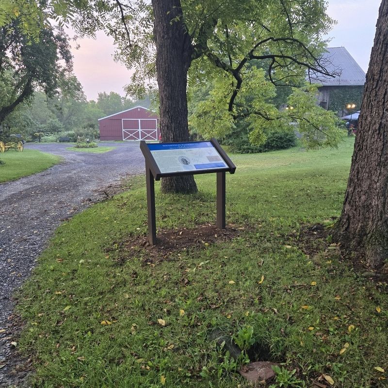
Location. 39° 46.47′ N, 77° 15.588′ W. Marker is near Gettysburg, Pennsylvania, in Adams County. It is in Cumberland Township. It can be reached from Emmitsburg Road (Business U.S. 15) half a mile north of Barlow Greenmount Road, on the right when traveling north. Located near the Battlefield Bed and Breakfast Inn. Touch for map. Marker is at or near this postal address: 2264 Emmitsburg Rd Gettysburg PA 17325, Gettysburg PA 17325, United States of America. Touch for directions.

Regionally, this marker is in South-Central Pennsylvania. It is also in the American Northeast, in the Mid-Atlantic, in Appalachia, and specifically in Northern Appalachia. Globally, it is in North America, the Western Hemisphere, the Western World, and the Anglosphere. Historically, it finds itself in what was once the Haudenosaunee (Iroquois) Confederacy
Photographed by Mike McKeown, August 9, 2026
2. Houghtelin Farmhouse Marker
Other nearby markers. At least 8 other markers are within walking distance of this marker: Second U.S. Cavalry (approx. 0.2 miles away); Battery K, First U.S. Artillery (approx. 0.2 miles away); First U.S. Cavalry (approx. ¼ mile away); Sixth U.S. Cavalry (approx. ¼ mile away); Position of the Reserve Brigade (approx. ¼ mile away); Reserve Brigade (approx. ¼ mile away); 6th Pennsylvania Cavalry (approx. 0.4 miles away); 1st & 2d Regiments United States Cavalry (approx. 0.4 miles away). Touch for a list and map of all markers in Gettysburg.
Also see . . .
1. Gettysburg South Cavalry field (American Battlefield Trust). (Submitted on August 9, 2026, by Mike McKeown of Baltimore, Maryland.)
2. Gettysburg Third Day cavalry Battles (Wikipedia). (Submitted on August 9, 2026, by Mike McKeown of Baltimore, Maryland.)
Photographed by Mike McKeown, August 9, 2026
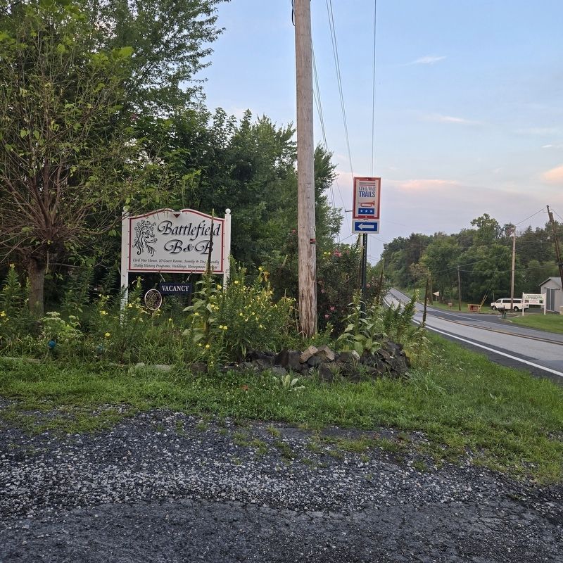
3. CWT sign next to Emmitsburg Rd showing directions to marker
Credits. This page was last revised on August 14, 2026. It was originally submitted on August 9, 2026, by Mike McKeown of Baltimore, Maryland. This page has been viewed 27 times since then. Photos: 1, 2, 3. submitted on August 9, 2026, by Mike McKeown of Baltimore, Maryland. • Bernard Fisher was the editor who published this page.
