
Near McDowell in Highland County, Virginia — The American South (Mid-Atlantic)
Shenandoah Valley Battlefields
| — | Shenandoah Valley Battlefields National Historic District | — |
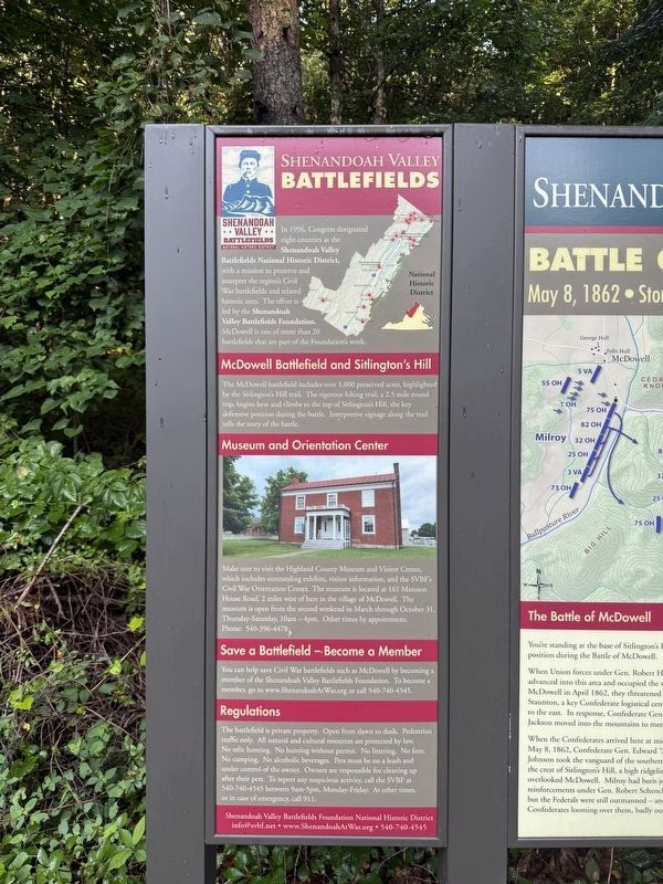
In 1996, Congress designated eight counties as the Shenandoah Valley Battlefields National Historic District, with a mission to preserve and interpret the region's Civil War battlefields and related historic sites. The effort is led by the Shenandoah Valley Battlefields Foundation. McDowell is one of more than 20 battlefields that are part of the Foundation's work.
McDowell Battlefield and Sitlington's Hill
The McDowell battlefield includes over 1,000 preserved acres, highlighted by the Sitlington's Hill trail. The rigorous hiking trail, a 2.5 mile round trip, begins here and climbs to the top of Sitlington's Hill, the key defensive position during the battle. Interpretive signage along the trail tells the story of the battle.
Museum and Orientation Center
Make sure to visit the Highland County Museum and Visitor Center, which includes outstanding exhibits, visitor information, and the SVBF's Civil War Orientation Center. The museum is located at 161 Mansion House Road, 2 miles west of here in the village of McDowell. The museum is open from the second weekend in march through October 31, Thursday-Saturday, 10am
this page online
Phone: 540-396-4478
Save a Battlefield — Become a Member
You can help save Civil War battlefields such as McDowell by becoming a member of the Shenandoah Valley Battlefields Foundation. To become a member, go to www.ShenandoahAtWar.org or call 540-740-4545.
Regulations
The battlefield is private property. Open from dawn to dusk. Pedestrian traffic only. All natural and cultural resources are protected by law. No relic hunting. No hunting without permit. No littering. NO fires. No camping. No alcoholic beverages. Pets must be on a leash and under control of the owner. Owners are responsible for cleaning up after their pets. To report any suspicious activity, call the SVBF at 540-740-4545 between 9am-5pm, Monday-Friday. At other times, or in case of emergency, call 911.
[email protected] • www.ShenandoahAtWar.org • 540-740-4545
Erected by Shenandoah Valley Battlefields Foundation.
Topics. This historical marker is listed in these topic lists: Education • Parks & Recreational Areas • War, US Civil. A significant historical year for this entry is 1996.
Location. 38° 19.464′ N,
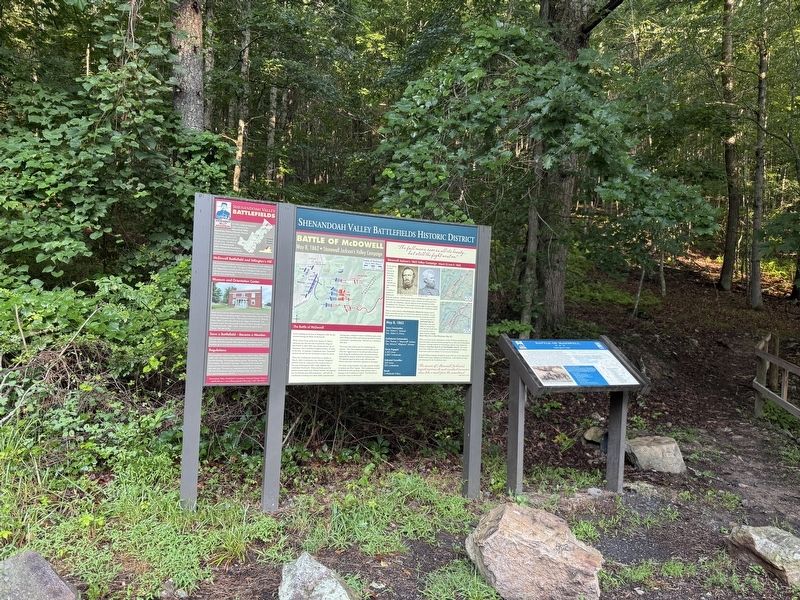

Regionally, this marker is in Virginia’s Shenandoah Valley, in the Alleghany Highlands, and specifically in the Potomac Highlands. It is also in the American South, specifically in the Upper South, in Appalachia, and specifically in Southern Appalachia. Globally, it is in North America, the Western Hemisphere, the Western World, and the Anglosphere. Historically, it finds itself in what was once the territory of the Mississippian Culture, one of the original Thirteen Colonies, one of the Confederate States of America, and the Antebellum South.
Other nearby markers. At least 8 other markers are within walking distance of this marker: Battle of McDowell (here, next to this marker); a different marker also named Battle of McDowell (here, next to this marker); Anthony's Burg (here, next to this marker); A Road From The Past (a few steps from this marker); Confederates Hold the High Ground (about 500 feet away, measured in a direct line); Two Plans Of Attack (approx. 0.2 miles away); Moving Uphill (approx. ¼ mile away); The Ravines (approx. 0.3 miles away). Touch for a list and map of all markers in McDowell.
Other markers no longer nearby. The Battle of McDowell (was here, next to this marker but has been replaced with another marker now near it); a different marker also named The Battle of McDowell (was a few steps from this marker but has been permanently removed); a different marker also named Battle of McDowell (was a few steps from this marker but has been permanently removed); a different marker also named Battle of McDowell (was within shouting distance of this marker but has been permanently removed).
Credits. This page was last revised on August 9, 2026. It was originally submitted on August 9, 2026, by Devry Becker Jones of Washington, District of Columbia. This page has been viewed 6 times since then. Photos: 1, 2. submitted on August 9, 2026, by Devry Becker Jones of Washington, District of Columbia.
