Gurnee in Lake County, Illinois — The American Midwest (Great Lakes)
The Journey

Photographed by Sean P. Flynn, August 9, 2026
1. The Journey Marker
The majority of escaped slaves traveled hundreds of miles by foot. The journey north often required swimming rivers, crossing icy waterways and trudging through snake-infested swamps. The path to freedom was treacherous and slaves traveled light, frequently with only the clothes they were wearing when they escaped. As they traveled, slaves had limited access to food. On the first day or two, an escaped slave might have hard biscuits or other saved food. But, as the journey progressed, freedom seekers had to trap animals, catch fish or identify edible plants and berries. The food an escaped slave received
this page online
Topics. This historical marker is listed in these topic lists: Abolition & Underground RR • African Americans • Waterways & Vessels • Women.
Location. 42° 22.366′ N, 87° 55.12′ W. Marker is in Gurnee, Illinois, in Lake County. It can be reached from Kilbourne Road north of Old Grand Avenue, on the right when traveling north. The marker is in the ruins of the Mother Rudd Barn. Touch for map. Marker is at or near this postal address: 4690 Old Grand Avenue, Gurnee IL 60031, United States of America. Touch for directions.

Regionally, this marker is in Greater Chicago. It is also in the American Midwest. Globally, it is in North America, on the Great Lakes, in the Western Hemisphere, in the Western World, and in the Anglosphere. Historically, it finds itself in what was once the territory of the Mississippian Culture and also the Northwest Territory.
Other nearby markers. At least 15 other markers are within walking distance of this marker: Underground Railroad (here, next to this marker); Underground Railroad in Illinois
Photographed by Sean P. Flynn, August 9, 2026
2. Mother Rudd Barn ruins
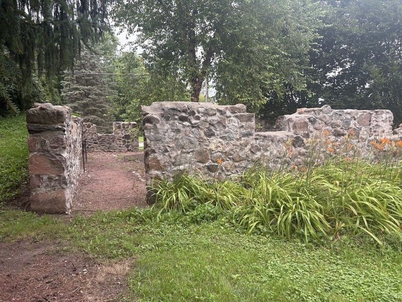
Several markers have been erected inside the ruins of this barn, which was used in pre-Civil War times as a stop on the Underground Railroad.
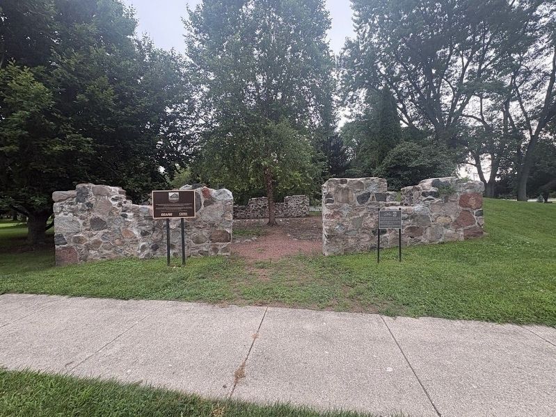
More about this marker. The marker is one of seven inside the ruins of the Mother Rudd Barn. The barn is just north of the Mother Rudd House, which serves today as the home of the Warren Township Historical Society. There are two other markers in front of the ruins: one about this barn's history as an Underground Railroad stop, and another
Photographed by Sean P. Flynn, August 9, 2026
3. Mother Rudd Barn ruins
The marker on the left is about the barn's use as a stop on the Underground Railroad; the one on the right is about Lake County's first settler, Amos Bennett. Markers inside the ruins discuss the Underground Railroad.
Credits. This page was last revised on August 12, 2026. It was originally submitted on August 10, 2026, by Sean P. Flynn of Oak Park, Illinois. This page has been viewed 7 times since then. Photos: 1, 2, 3. submitted on August 10, 2026, by Sean P. Flynn of Oak Park, Illinois.
