Janesville in Lassen County, California — The American West (Pacific Coastal)
Lake Lahontan
Photographed by Douglass Halvorsen, August 9, 2026
1. Lake Lahontan Marker
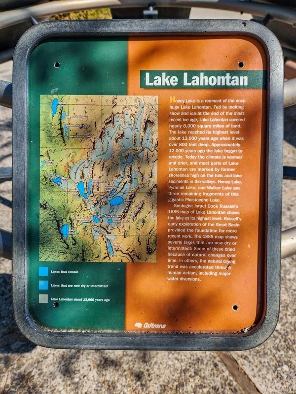
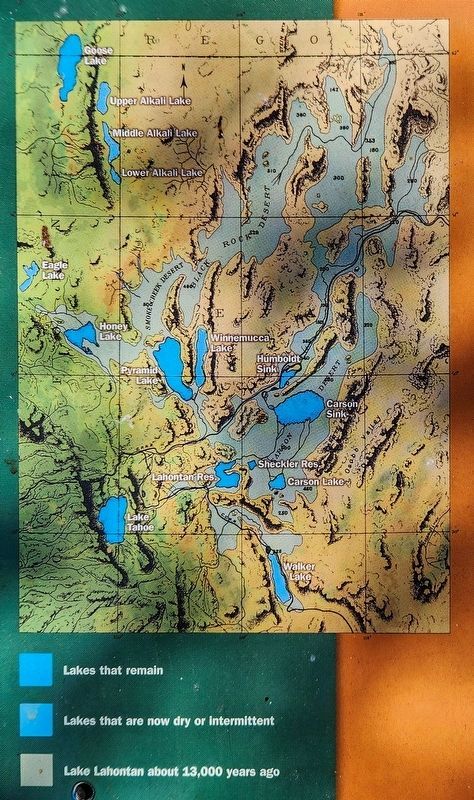
Geologist Israel Cook Russell’s 1885 map of Lake Lahontan shows the lake at its highest level. Russell’s early exploration of the Great Basin provided the foundation for more recent work. The 1885 map shows several lakes that are now dry or intermittent. Some of these dried because of natural changes over time. In others, the natural drying trend was accelerated through human action, including major water diversions.
Erected by Caltrans.
Topics. This historical marker is listed in these topic lists: Environment • Natural Features
this page online
Location. 40° 15.37′ N, 120° 27.91′ W. Marker is in Janesville, California, in Lassen County. It can be reached from U.S. 395. Touch for map. Marker is at or near this postal address: 459505 US-395, Janesville CA 96114, United States of America. Touch for directions.

Regionally, this marker is on the Modoc Plateau and in the Shasta Cascade. It is also in the American Mountain West. Globally, it is in North America, on the Ring of Fire, on the Pacific Rim, in the Western Hemisphere, in the Western World, and in the Anglosphere. Historically, it finds itself in what was once New Spain and also Mexico’s Alta California.
Other nearby markers. At least 8 other markers are within 12 miles of this marker, measured as the crow flies: Fort Janesville (approx. 4.9 miles away); Milford (approx. 7.9 miles away); Nobles Trail - Soldiers Bridge (approx. 9.3 miles away); Peter Lassen Grave (approx. 11.3 miles away); Birth of Peter Lassen (approx. 11.3 miles away); Lassen’s Bosquejo Rancho (approx. 11.3 miles away); Burial of Peter Lassen (approx. 11.3 miles away);
Photographed by Douglass Halvorsen, August 9, 2026
2. Lake Lahontan Marker
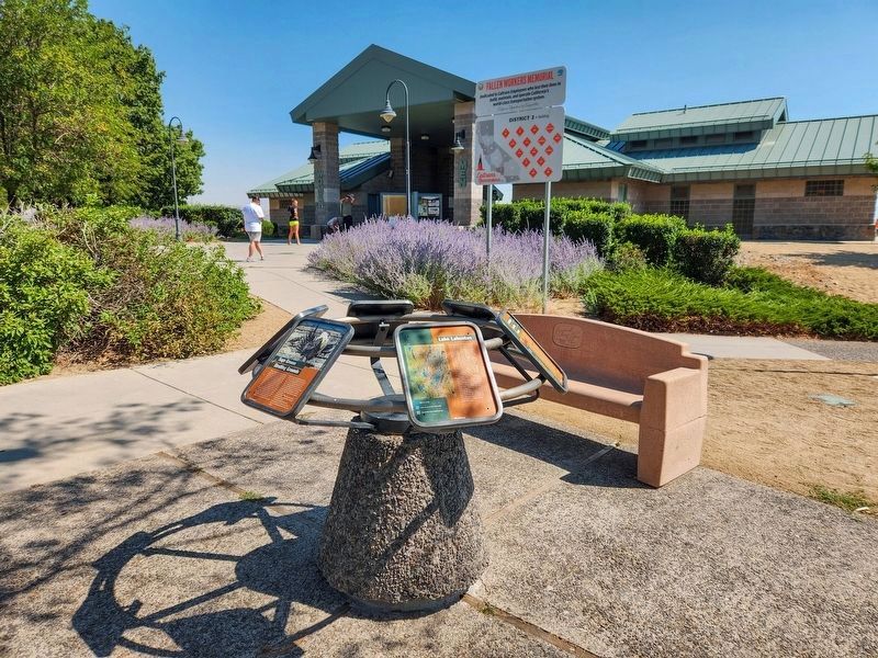
More about this marker. The marker is located within the Honey Lake Rest Area.
Also see . . . Plate IV: Map of Lake Lahontan. View the actual online map that Israel Cook Russell created in 1885.
The map titled "Map of Lake Lahontan: showing water area and boundary of hydrographic basin" was created by Israel C. Russell and lithographed by Julius Bien & Co. in 1885. It is part of the "Geological history of Lake Lahontan: a quaternary lake of Northwestern Nevada," published by the U.S. Geological Survey in Monograph vol. XI. The map measures 41 cm in width and 29 cm in height and is printed in color, with relief shown by shadings and depth indicated by isolines.(Submitted on August 14, 2026, by Douglass Halvorsen of Klamath Falls, Oregon.)
Photographed by Douglass Halvorsen, August 9, 2026
3. Lake Lahontan Marker
Credits. This page was last revised on August 15, 2026. It was originally submitted on August 14, 2026, by Douglass Halvorsen of Klamath Falls, Oregon. This page has been viewed 13 times since then. Photos: 1, 2, 3. submitted on August 14, 2026, by Douglass Halvorsen of Klamath Falls, Oregon. • Andrew Ruppenstein was the editor who published this page.
