Naperville in Will County, Illinois — The American Midwest (Great Lakes)
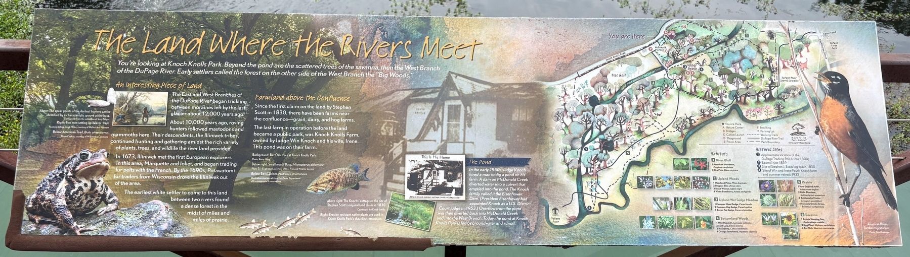
The Land Where the Rivers Meet
Photographed by Sean P. Flynn, August 18, 2026
1. The Land Where the Rivers Meet Marker
An Interesting Piece of land
The East and West Branches of the DuPage River began trickling between moraines left by the last glacier about 12,000 years ago.
About 10,000 years ago, roving hunters followed mastodons and mammoths here. Their descendants, the Illiniwek tribes, continued hunting and gathering amidst the rich variety of plants, trees, and wildlife the river land provided.
In 1673, Illiniwek met the first European explorers in this area, Marquette and Joliet, and began trading fur pelts with the French. By the 1690s, Potawatomi fur traders from Wisconsin drove the Illiniwek out of the area.
The earliest white settler to come to this land between two rivers found a dense forest in the midst of miles and miles of prairie.
Farmland above the Confluence
Since the first claim on the land by Stephen Scott in 1830, there have been farms near the confluence-grain, dairy, and hog farms.
The
this page online
The Pond
In the early 1950s, Judge Knoch hired a man to dig a pond on his farm. A dam on McDonald Creek diverted water into a culvert that emptied into the pond. The Knoch family called it the Eisenhower Dam. (President Eisenhower had appointed Knoch as a U.S. District Court judge in 1953.) Overflow from the pond was then diverted back into McDonald Creek and into the West Branch. Today, the pond at Knoch Knolls Park is fed by groundwater and runoff.
Historic Sites
1 Approximate location of the DuPage Trading Post (circa 1800)
2 Sawmill site 1839
3 Site of Stephen J. Scott log cabin 1830
4 Site of Win and Irene Fauth Knoch farm and summer retreat 1932
Erected by Naperville Park District.
Topics and series. This historical marker is listed in these topic lists: Agriculture • Exploration • Indigenous Peoples and Communities • Parks & Recreational Areas. In addition, it is included in the Former U.S. Presidents: #34 Dwight D. Eisenhower series
Photographed by Sean P. Flynn, August 18, 2026
2. The Land Where the Rivers Meet Marker
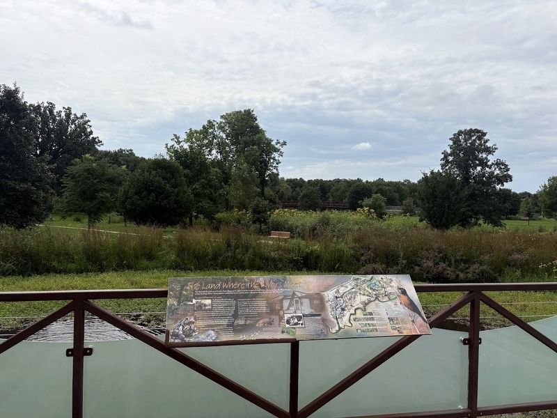
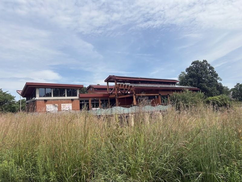
Location. 41° 42.833′ N, 88° 8.476′ W. Marker is in Naperville, Illinois, in Will County. It is on Knoch Knolls Road 1.2 miles east of 95th Street, on the right when traveling east. The marker is on the back deck of the Knoch Knolls Nature Center. Touch for map. Marker is at or near this postal address: 320 Knoch Knolls Road, Naperville IL 60565, United States of America. Touch for directions.

Regionally, this marker is in Greater Chicago. It is also in the American Midwest. Globally, it is in North America, on the Great Lakes, in the Western Hemisphere, in the Western World, and in the Anglosphere. Historically, it finds itself in what was once the territory of the Mississippian Culture and also the Northwest Territory.
Other nearby markers. At least 8 other markers are within walking distance of this marker: Native Landscape Restoration at Knoch Knolls Park (a few steps from this marker); Green Builders Long Ago (a few steps from this marker); Living Off the Land (a few steps from this marker); Taking Care of Our Watershed (a few steps from this marker); Where the Rivers Meet
Photographed by Sean P. Flynn, August 18, 2026
3. Knoch Knolls Nature Center
Also see . . . Knoch Knolls Park. From the Naperville Park District website.
Excerpt: "On March 24, 1980, the Naperville Park District received 13 acres of farmland as a donation from Judge Win Knoch and Irene Knoch to be used for park purposes for the benefit of all that are entitled to the use of park lands. Following this donation, the Park District purchased the remainder of the Knoch farmland, totaling 115 acres, with assistance from a Land and Water Conservation Grant in the amount of $625,933."(Submitted on August 20, 2026, by Sean P. Flynn of Oak Park, Illinois.)
Credits. This page was last revised on August 20, 2026. It was originally submitted on August 20, 2026, by Sean P. Flynn of Oak Park, Illinois. This page has been viewed 13 times since then. Photos: 1, 2, 3. submitted on August 20, 2026, by Sean P. Flynn of Oak Park, Illinois.
