Naperville in Will County, Illinois — The American Midwest (Great Lakes)
Where the Rivers Meet
Welcome to Knoch Knolls Park

Photographed by Sean P. Flynn, August 18, 2026
1. Where the Rivers Meet Marker
Exploring Knoch Knolls Park
Nature Center
Step into the Nature Center to learn how the DuPage River and the land surrounding the confluence have influenced local people, ecosystems, and wildlife.
Classes
Learn more: Knoch Knolls Nature Center offers classes on a variety of nature-related subjects for all ages. Please visit the Naperville Park District website at www.napervilleparks.org or inquire within for more information.
Trails
Take a leisurely stroll, a brisk walk, or a run on trails through a variety of natural habitats and explore Knoch Knolls Park. Bike along the DuPage River Trail, part of a network of trails in the region.
How Did Knoch Knolls Park Get Its Name?
A portion of this park once belonged to Irene Fauth Knoch and her husband, Judge Win Knoch, a well-known figure in the Naperville community.
The Knochs had a farm on this land, which they called Knoch Knolls, and a summer retreat on the former site
this page online
[Photo captions:]
The DuPage River confluence of the East and West Branches at Knoch Knolls Park
• Architect's rendering of Knock Knolls Nature Center
• Erosion-resistant native plants are used in the DuPage River shoreline restoration.
• The pond and Molitor family barn in 1976. The Knocks hired the Molitors to farm their land.
• 1839 U.S. General Land Office map of northwestern Will County showing the fork of the DuPage River. The diagonal cut-off of the "fractional township" is the Indian Boundary Line.
• In the 1930s, Judge Win and Irene Knoch became the owners of the land previously owned by Irene Knoch's family, the Fauths, that included the site of Stephen Scott's original claim.
• Willard Scott (Sr.), the son of the first settler on the confluence land, Stephen Scott.
• Prehistoric and Potawatomi Indian sites in DuPage County
• Beaver hunting
• The originals of these facsimile
Photographed by Sean P. Flynn, August 18, 2026
2. Knoch Knolls Nature Center
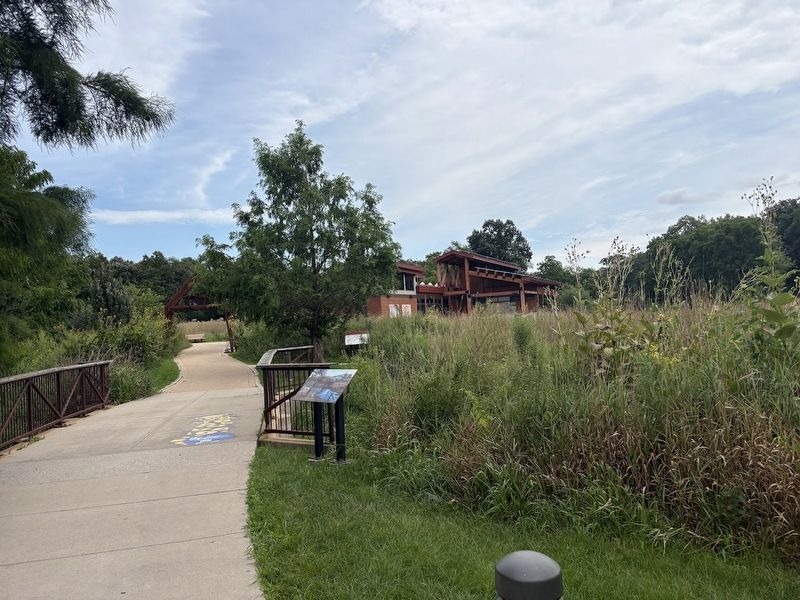
This Where the Rivers Meet Marker is on the other side of the Nature Center, facing towards Knoch Knolls Road.
• Woolly mammoths
• After the last glacier melted away, nomadic hunter-gatherers camped on riverbanks in this area and left behind tools they had made from bones, wood, and stones.
• The spear points of the earliest hunters can be identified by a characteristic groove at the base.
• The skull of an American Beaver
Historic Sites
1 Approximate location of the DuPage Trading Post (circa 1800)
2 Sawmill site 1839
3 Site of Stephen J. Scott log cabin 1830
4 Site of Win and Irene Fauth Knoch farm and summer retreat 1932
Erected by Naperville Park District.
Topics. This historical marker is listed in these topic lists: Environment • Parks & Recreational Areas • Settlements & Settlers • Waterways & Vessels. A significant historical year for this entry is 1830.
Location. 41° 42.844′ N, 88° 8.481′ W. Marker is in Naperville, Illinois, in Will County. It is on Knoch Knolls Road 1.3 miles east of 95th Street.
Photographed by Sean P. Flynn, August 18, 2026
3. Scott Settlement site
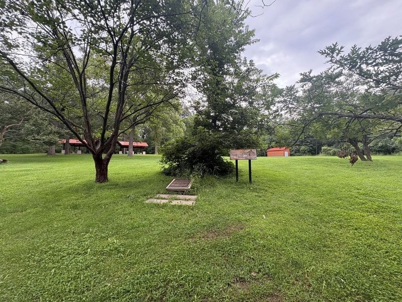
Two markers are located at the site where Stephen Scott set up his homestead in 1830.

Regionally, this marker is in Greater Chicago. It is also in the American Midwest. Globally, it is in North America, on the Great Lakes, in the Western Hemisphere, in the Western World, and in the Anglosphere. Historically, it finds itself in what was once the territory of the Mississippian Culture and also the Northwest Territory.
Other nearby markers. At least 8 other markers are within walking distance of this marker: Taking Care of Our Watershed (a few steps from this marker); Native Landscape Restoration at Knoch Knolls Park (a few steps from this marker); Green Builders Long Ago (a few steps from this marker); A Reminder of Times Past (a few steps from this marker); The Land Where the Rivers Meet (a few steps from this marker); Living Off the Land (a few steps from this marker); a different marker also named Where the Rivers Meet (within shouting distance of this marker); McDonald Creek (within

Photographed by Sean P. Flynn, August 18, 2026
4. The confluence of the east and west branches of the DuPage River
The location of "The Forks" is a roughly one-mile hike southwest from the Knoch Knolls Nature Center. In this southwest-facing photo of the confluence, the east branch on the left merges with the west branch on the right. The DuPage River then travels south another 25 miles or so until feeding into the Des Plaines River near Channahon.
More about this marker. Several other markers at Knoch Knolls park have the same title, each of them a map of the park and its key sites.
Also see . . . Knoch Knolls Nature Center celebrates 10 years of environmental education in Naperville. A 2024 article from Naperville Community Television.
Excerpt: "Back in July of 2013, the Naperville Park District broke ground on the Knoch Knolls Nature Center, 320 Knoch Knolls Rd. Community surveys at the time indicated Naperville residents wanted a nature center, and the park district determined the 215-acre Knoch Knolls Park in south Naperville was the perfect spot."(Submitted on August 21, 2026, by Sean P. Flynn of Oak Park, Illinois.)
Credits. This page was last revised on August 21, 2026. It was originally submitted on August 21, 2026, by Sean P. Flynn of Oak Park, Illinois. This page has been viewed 15 times since then. Photos: 1, 2. submitted on August 21, 2026, by Sean P. Flynn of Oak Park, Illinois. 3. submitted on August 19, 2026, by Sean P. Flynn of Oak Park, Illinois. 4. submitted on August 20, 2026, by Sean P. Flynn of Oak Park, Illinois.
