
Midland near Tay in Simcoe County, Ontario — Central Canada (North America)
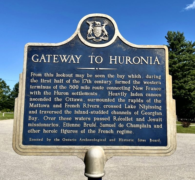
Gateway to Huronia
Photographed by Tim Boyd, August 20, 2026
1. Gateway to Huronia Marker
Erected 1957 by Ontario Archaeological and Historic Sites Board.
Topics and series. This historical marker is listed in these topic lists: Colonial Era • Indigenous Peoples and Communities • Waterways & Vessels. In addition, it is included in the Canada, Ontario Heritage Trust series list.
Location. 44° 44.311′ N, 79° 50.491′ W. Marker is near Tay, Ontario, in Simcoe County. It is in Midland. It can be reached from Ontario Highway 12. The marker is on the grounds of the Martyrs’ Shrine Church, accessible by foot or by car approx. 750 metres from the entrance
this page online

Regionally, this marker is in Central Ontario Cottage Country and specifically in Georgian Bay Country. It is also in Central Canada. Globally, it is in North America, on the Great Lakes, in the Western Hemisphere, in the Western World, and in the Anglosphere. Historically, it finds itself in what was once a British colony, the Viceroyalty of New France, the Haudenosaunee (Iroquois) Confederacy, and Rupert’s Land.
Other nearby markers. At least 8 other markers are within 10 kilometers of this marker, measured as the crow flies: Saint-Marie Among the Hurons / Saint-Marie-au-pays-des-Hurons (approx. half a kilometer away); The Founding of Midland (approx. 3.6 kilometers away); The Arrival of the Jesuits in New France (approx. 4.9 kilometers away); Ataronchronon Village (approx. 4.9 kilometers away); Franz Johnston (approx. 5.9 kilometers away); John Graves Simcoe (1752-1806) (approx. 8.4 kilometers away); Father Laboureau (approx. 8.4 kilometers away); Athol Murray (approx. 8.4 kilometers
Photographed by Tim Boyd, August 20, 2026
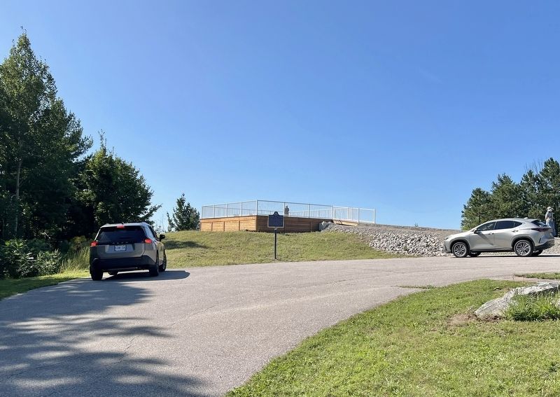
2. Gateway to Huronia Marker
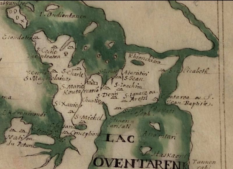
3. Detail of the map “Description of the Huron Country”, ca 1639-1651
Showing the French missions and Huron settlements
Source: Library of Congress (public domain)
Photographed by Tim Boyd, August 20, 2026
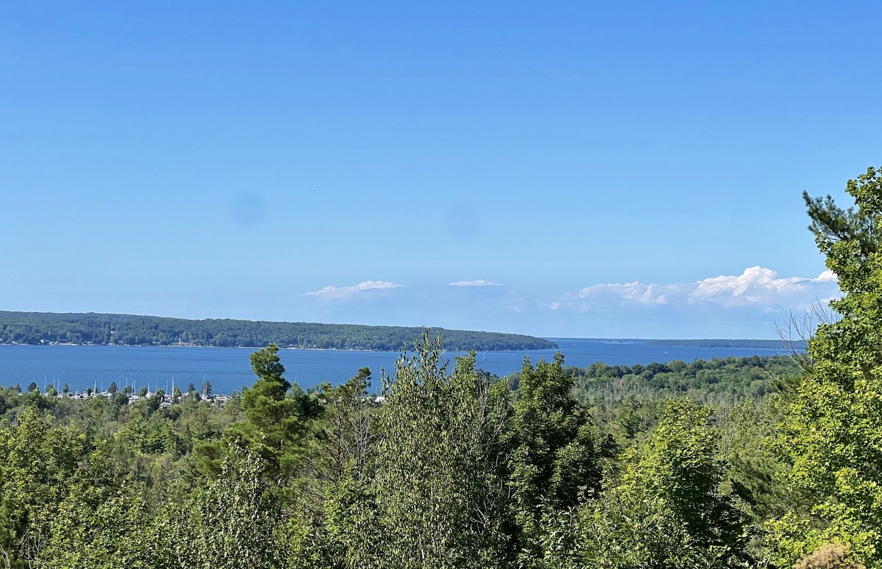
4. View of Midland Bay from the platform near the Gateway to Huronia marker
Credits. This page was last revised on August 27, 2026. It was originally submitted on August 23, 2026, by Tim Boyd of Hamilton, Ontario. This page has been viewed 7 times since then. Photos: 1, 2, 3, 4. submitted on August 23, 2026, by Tim Boyd of Hamilton, Ontario. • Andrew Ruppenstein was the editor who published this page.
