Natural Bridge in Winston County, Alabama — The American South (East South Central)
Bald Rock
Winston County
⎯⎯⎯
Rock House
Winston County

Photographed by Jimmy Emerson, August 23, 2026
1. Bald Rock Marker
Winston County
(Reverse Side)
Winston County
this page online
Erected 2026 by Byler Road Tourism Alliance and Alabama Historical Commission.
Topics. This historical marker is listed in these topic lists: Natural Features • Roads & Vehicles • War, US Civil. A significant historical year for this entry is 1863.
Location. 34° 5.246′ N, 87° 36.412′ W. Marker is in Natural Bridge, Alabama, in Winston County. It is on County Road 9 south of U.S. 278, on the right when traveling south. Touch for map. Marker is at or near this postal address: 466 Co Rd 9, Lynn AL 35575, United States of America. Touch for directions.

Regionally, this marker is in North Alabama. It is also in the American South, specifically in the Deep South, in Appalachia, and specifically in Southern Appalachia. Globally, it is in North America, a Gulf of Mexico state, the Western Hemisphere, the Western World, and the Anglosphere. Historically, it finds itself in what was once the territory of the
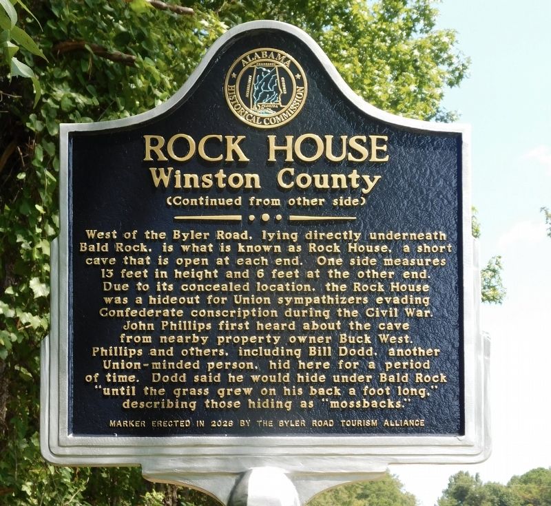
Photographed by Jimmy Emerson, August 23, 2026
2. Rock House Marker
Other nearby markers. At least 8 other markers are within 10 miles of this marker, measured as the crow flies: Byler Road / History of Natural Bridge (about 600 feet away, measured in a direct line); Natural Bridge Park (approx. half a mile away); Byler Road Displaced by the Railroad (approx. 0.6 miles away); The Free State of Winston / Natural Bridge (approx. 0.6 miles away); Yankee Trace (approx. 4.4 miles away); Whitehouse Cemetery Grounds (approx. 7.7 miles away); Haleyville Ice Company (approx. 9.3 miles away); First 9-1-1 Call (approx. 9.6 miles away). Touch for a list and map of all markers in Natural Bridge.
Another marker is no longer nearby. Whitehouse Cemetery Grounds (was approx. 7.7 miles away but has been replaced with another marker now near it).

Photographed by Jimmy Emerson, August 23, 2026
3. Bald Rock / Rock House Marker
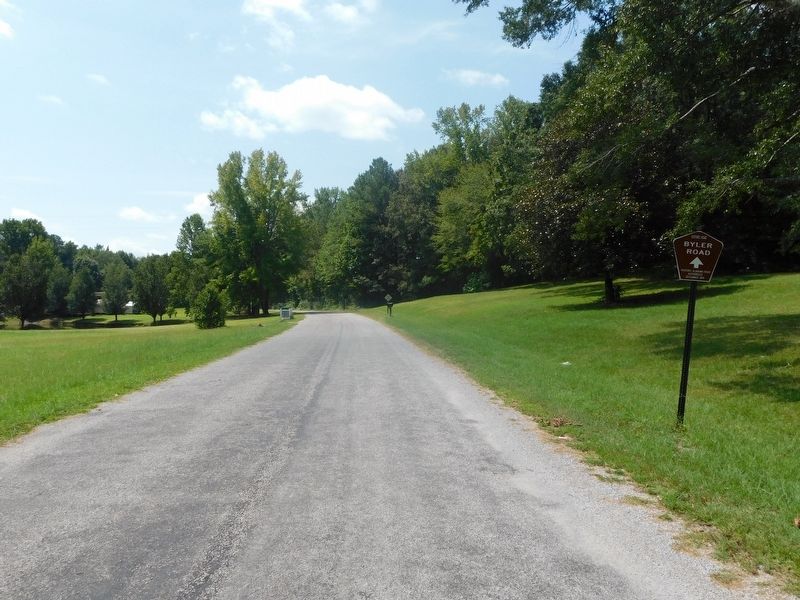
Photographed by Jimmy Emerson, August 23, 2026
4. Byler Road Historic Road Sign & Bald Rock / Rock House Marker
The marker is on the right side of the road just at the edge of the trees.
Credits. This page was last revised on August 26, 2026. It was originally submitted on August 24, 2026, by Jimmy Emerson of Dalton, Georgia. This page has been viewed 28 times since then. Photos: 1, 2, 3, 4. submitted on August 24, 2026, by Jimmy Emerson of Dalton, Georgia. • James Hulse was the editor who published this page.
