Frazee in Becker County, Minnesota — The American Midwest (Upper Plains)
Height of Land
Photographed by Cosmos Mariner, August 30, 2022
1. Height of Land Marker
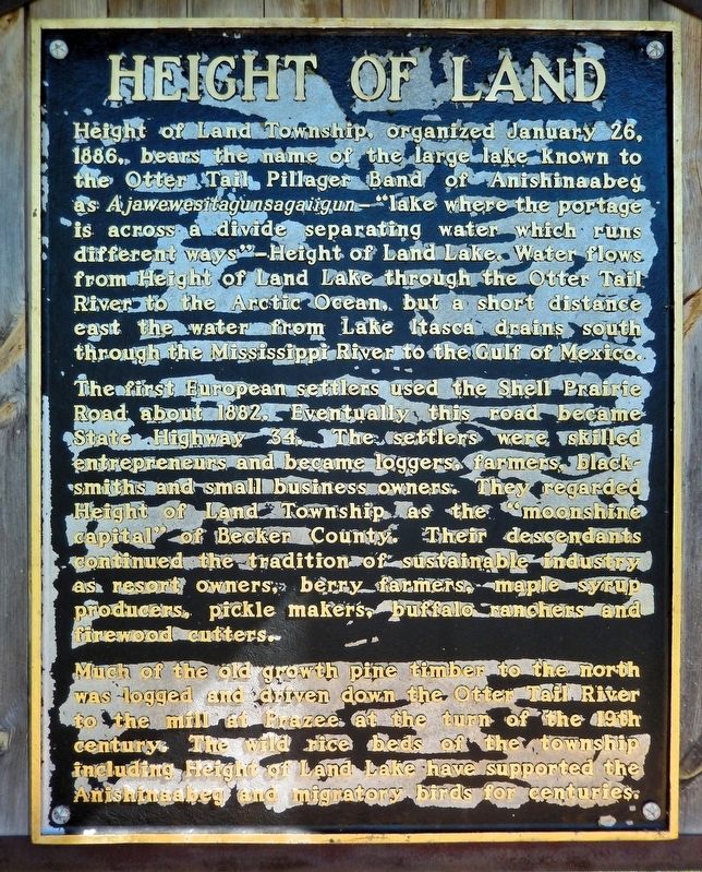
Height of Land Township, organized January 26, 1886, bears the name of the large lake known to the Otter Tail Pillager Band of Anishinaabeg as Ajawewesitagunsagaiigun — “lake where the portage is across a divide separating water which runs different ways” — Height of Land Lake. Water flows from Height of Land Lake through the Otter Tail River to the Arctic Ocean, but a short distance east the water from Lake Itasca drains south through the Mississippi River to the Gulf of Mexico.
The first European settlers used the Shell Prairie Road about 1882. Eventually this road became State Highway 34. The settlers were skilled entrepreneurs and became loggers, farmers, blacksmiths and small business owners. They regarded Height of Land Township as the “moonshine capital” of Becker County. Their descendants continued the tradition of sustainable industry as resort owners, berry farmers, maple syrup producers, pickle makers, buffalo ranchers and firewood cutters.
Much of the old growth pine timber to the north was logged and driven down the Otter Tail River to the mill at Frazee at the turn of the 19th century. The wild rice beds of
this page online
Topics. This historical marker is listed in these topic lists: Indigenous Peoples and Communities • Roads & Vehicles • Settlements & Settlers • Waterways & Vessels. A significant historical date for this entry is January 26, 1886.
Location. 46° 50.689′ N, 95° 37.432′ W. Marker is in Frazee, Minnesota, in Becker County. It is on Lake Country Scenic Byway (State Highway 34) 0.1 miles east of County Road 120, on the right when traveling east. The marker is on the east side of the Height of Land Town Hall driveway. Touch for map. Marker is at or near this postal address: 37083 Minnesota Highway 34, Frazee MN 56544, United States of America. Touch for directions.

Regionally, this marker is in the American Midwest and in the Corn Belt. Globally, it is in North America, the Western Hemisphere, the Western World, and the Anglosphere. Historically, it finds itself in what was once Rupert’s Land, the territory of the Mississippian Culture, and the Louisiana Purchase.
Other nearby markers. At least 6 other markers are within
Photographed by Cosmos Mariner, August 30, 2022
2. Height of Land Marker
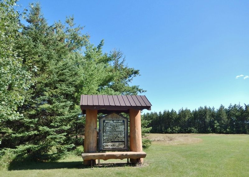
This marker spans the north side of the interpretive kiosk near the Height of Land Town Hall driveway.
Also see . . .
1. Height of Land Township, Becker County, Minnesota. (Submitted on August 28, 2026, by Cosmos Mariner of Cape Canaveral, Florida.)
2. Height Of Land Lake (U.S. Dam Safety & Infrastructure Directory).
Excerpt: Height of Land Lake is a gravity and concrete dam located in Frazee, Becker County, Minnesota on the Otter Tail River. Owned by Minnesota Department of Natural Resources, a state agency, this dam serves the primary purpose of recreation.(Submitted on August 28, 2026, by Cosmos Mariner of Cape Canaveral, Florida.)
Credits. This page was last revised on August 28, 2026. It was originally submitted on August 26, 2026, by Cosmos Mariner of Cape Canaveral, Florida. This page has been viewed 14 times since then. Photos: 1, 2. submitted on August 28, 2026, by Cosmos Mariner of Cape Canaveral, Florida.
