
Gloucester in Gloucester County, Virginia — The American South (Mid-Atlantic)
John Smith Explores the Chesapeake
Captain John Smith Chesapeake National Historic Trail
| — | National Park Service, U.S. Department of the Interior | — |
Photographed by Devry Becker Jones (CC0), August 29, 2026
1. John Smith Explores the Chesapeake Marker
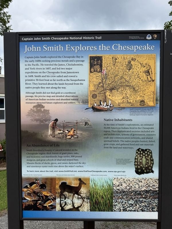
Captain John Smith explored the Chesapeake Bay in the early 1600s seeking precious metals and a passage to the Pacific. He traveled the James, Chickahominy and York rivers in 1607, and led two major expeditions on the Chesapeake from Jamestown in 1608. Smith and his crew sailed and rowed a primitive 30-foot boat as far north as the Susquehanna River. They learned about the lands beyond from the native people they met along the way.
Although Smith did not find gold or a northwest passage, his precise map and detailed observations of American Indian societies and abundant natural resources attracted future explorers and settlers.
Native Inhabitants
At the time of Smith's explorations, an estimated 50,000 American Indians lived in the Chesapeake region. Their sophisticated societies included arts and architecture, systems of government, extensive trade and communication networks, and shared spiritual beliefs. The native peoples hunted, fished, grew crops, and gathered food and raw materials from the land and waterways.
An Abundance of Life
Smith described a bounty of natural wonders in the Chesapeake region: thick
this page online
To learn more about the trail, visit www.SmithTrail.net, www.FindYourChesapeake.com, www.nps.gov/cajo
[Captions:]
Smith's remarkably accurate map of the Chesapeake Bay, published in 1612, and his spirited written accounts of a lush landscape inspired European migration.
Decorative shells—such as those found on this ceremonial robe—were valuable in the American Indians' trading network that extended far beyond the Chesapeake.
Erected by National Park Service, U.S. Department of the Interior.
Topics and series. This historical marker is listed in these topic lists: Colonial Era • Exploration • Indigenous Peoples and Communities • Waterways & Vessels. In addition, it is included in the Captain John Smith Chesapeake National Historic Trail series list. A significant historical year for this entry is 1607.
Location. 37° 24.922′ N, 76° 31.759′ W. Marker
Photographed by Devry Becker Jones (CC0), August 29, 2026
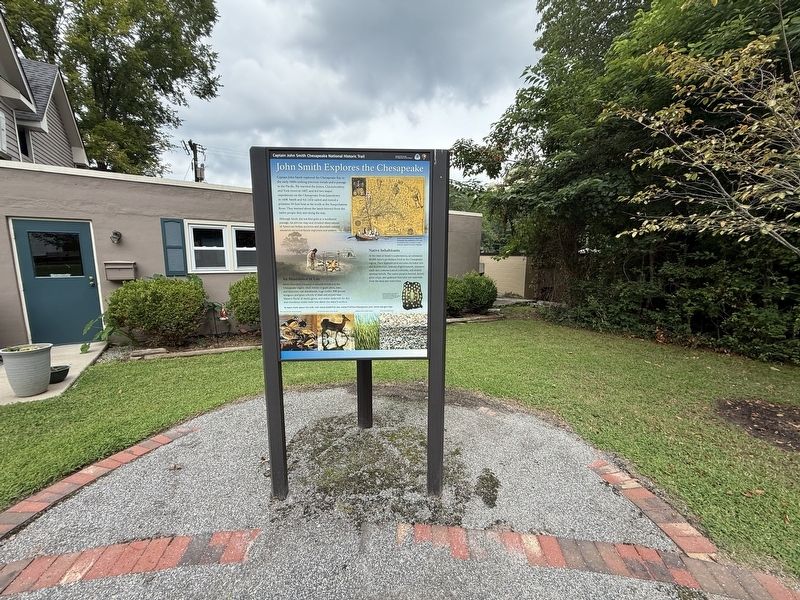
2. John Smith Explores the Chesapeake Marker

Regionally, this marker is on the Middle Peninsula and in the Hampton Roads Metropolitan Area. It is also in the American South, specifically in the Upper South, in the Tidewater, in the Chesapeake Bay Region, and on the Eastern Seaboard. Globally, it is in the North Atlantic Region, North America, the Western Hemisphere, the Western World, and the Anglosphere. Historically, it finds itself in what was once the territory of the Mississippian Culture, one of the original Thirteen Colonies, one of the Confederate States of America, and the Antebellum South.
Other nearby markers. At least 8 other markers are within walking distance of this marker: Join the Adventure (here, next to this marker); A Sacred Place (here, next to this marker); Gloucester County, Virginia (here, next to this marker); The History of Gloucester County (here, next to this marker); Gloucester Courthouse Through Time (here, next to this marker); The Daffodil Industry (a few steps from this marker); Gloucester Continues to Celebrate the Daffodil (a few steps from this marker); Daffodils Arrived Here With the Colonists (a few steps from this marker). Touch for a list and map of all markers in Gloucester.
Credits. This page was last revised on August 30, 2026. It was originally submitted on August 30, 2026, by Devry Becker Jones of Washington, District of Columbia. This page has been viewed 10 times since then. Photos: 1, 2. submitted on August 30, 2026, by Devry Becker Jones of Washington, District of Columbia.
