Flatlands in Brooklyn in Kings County, New York — The American Northeast (Mid-Atlantic)
The Kings Highway
1636
Photographed by Bill Coughlin, April 24, 2010
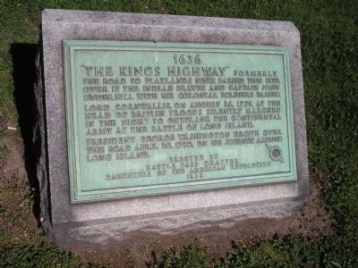
1. The Kings Highway Marker
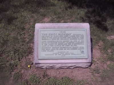
"The King's Highway" formerly the road to Flatlands Neck passed this site. Over it the Indian braves and Captain John Underhill with his colonial soldiers passed. Lord Cornwallis, on August 26, 1776, at the head of the British troops silently marched in the night to outflank the Continental Army at the Battle of Long Island. President George Washington drove over this road April 20, 1790 on his journey around Long Island.
Erected 1935 by Battle Pass Chapter Daughters of the American Revolution.
Topics and series. This historical marker is listed in these topic lists: Colonial Era • Indigenous Peoples and Communities • Roads & Vehicles • War, US Revolutionary. In addition, it is included in the Daughters of the American Revolution (DAR), and the Former U.S. Presidents: #01 George Washington series lists. A significant historical date for this entry is August 26, 1776.
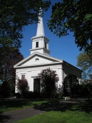
Location. 40° 37.424′ N, 73° 56.146′ W. Marker is in Brooklyn, New York, in Kings County. It is in Flatlands. It is on Kings Highway east of East 40th Street, on the right when traveling south. The marker is located on the grounds of the Flatlands
this page online

Regionally, this marker is in New York City and on Long Island. It is also in the American Northeast, in the Mid-Atlantic, and on the Eastern Seaboard. Globally, it is in the North Atlantic Region, North America, the Western Hemisphere, the Western World, and the Anglosphere. Historically, it finds itself in what was once New Netherland and also one of the original Thirteen Colonies.
Other nearby markers. At least 8 other markers are within walking distance of this marker: Dutch Reformed Church of Flatlands (within shouting distance of this marker); Bas-Relief Above Our Entrance (about 600 feet away, measured in a direct line); Robert J Crawford (about 700 feet away); Thomas F Norton (about 700 feet away); Vietnam War Memorial (approx. ¼ mile away); Sarsfield Playground (approx. ¼ mile away); John J. Fraser (approx. 0.4 miles away); The New Amersfort Rock (approx. 0.4 miles away). Touch for a list and map of all markers in Brooklyn.
Also see . . . The Kings Highway Dutch Reformed Church - A Brooklyn Historical Landmark.
Photographed by Erik Lander, January 3, 2004
2. The Kings Highway Marker
Photographed by Bill Coughlin, April 24, 2010
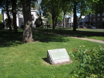
3. The Kings Highway Marker
The Flatlands Reformed Church can be seen in this photo behind the marker.
Photographed by Bill Coughlin, April 24, 2010
4. The Flatlands Reformed Church
Credits. This page was last revised on September 5, 2026. It was originally submitted on April 28, 2009, by Erik Lander of Brooklyn, New York. This page has been viewed 2,519 times since then and 86 times this year. Last updated on September 4, 2026, by Carl Gordon Moore Jr. of North East, Maryland. Photos: 1. submitted on April 24, 2010, by Bill Coughlin of Woodland Park, New Jersey. 2. submitted on April 28, 2009, by Erik Lander of Brooklyn, New York. 3, 4. submitted on April 24, 2010, by Bill Coughlin of Woodland Park, New Jersey. • Devry Becker Jones was the editor who published this page.
