Conroe in Montgomery County, Texas — The American South (West South Central)
West Fork of The San Jacinto River
Photographed by James Hulse, September 5, 2026
1. West Fork of The San Jacinto River Marker
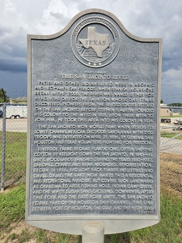
Patiri and other Indians lived here in Archaic and Neo-American periods. When Spanish incursions began in the 1700s, the river was named either for hyacinths or for the saint on whose day it was discovered. Pioneers from the United States settled on the San Jacinto before Stephen F. Austin founded his colony to the west in 1821. Upon their wish to join him, he took this area into his colony in 1824.
The San Jacinto won world fame when beside its lower channel Mexican dictator Santa Anna with 1700 troops was defeated on April 21, 1836, by General Sam Houston and Texas volunteers fighting for freedom.
Riverside farms became plantations, often shipping cotton by keelboat down the San Jacinto, in 1845–61. Until woodlands vanished during the years 1880–1930, sandhill cranes and bear abounded. Reforestation, begun in 1936, brought back timber industries and small game. The lake now makes this a residential and recreational paradise, but covers such landmarks as Grandma Edards fishing hole, Indian Camp Creek, and the White Sugar Sand crossing. Downriver, after this fork and the East Fork unite, the San Jacinto forms part
this page online
Erected 1975 by Texas Historical Commission. (Marker Number 7898.)
Topics. This historical marker is listed in these topic lists: Indigenous Peoples and Communities • Parks & Recreational Areas • War, Texas Independence • Waterways & Vessels. A significant historical date for this entry is April 21, 1836.
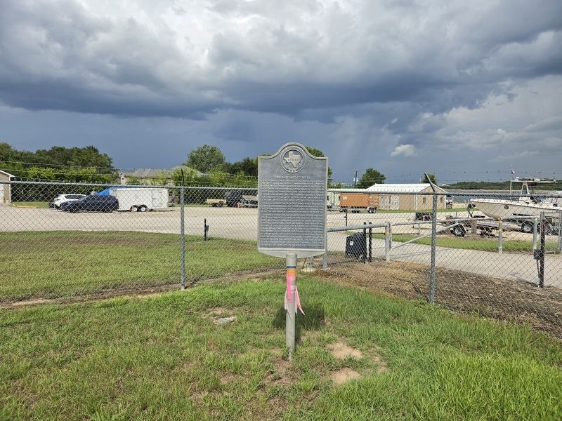
Location. 30° 21.207′ N, 95° 34.751′ W. Marker is in Conroe, Texas, in Montgomery County. It is at the intersection of U.S. 105 and Sandy Beach Drive (Private), on the right when traveling west on U.S. 105. The marker is located in a small parking lot next to the Coast Guard Auxiliary building. Touch for map. Marker is at or near this postal address: 14336 Hwy 105 W, Conroe TX 77304, United States of America. Touch for directions.

Regionally, this marker is in the Houston Metropolitan Area. It is also on the American Gulf Coast. Globally, it is in North America, a Gulf of Mexico state, the Western Hemisphere, the Western World, and the Anglosphere. Historically, it finds itself in what was once New Spain, the Republic of
Photographed by James Hulse, September 5, 2026
2. West Fork of The San Jacinto River Marker
Other nearby markers. At least 8 other markers are within 7 miles of this marker, measured as the crow flies: Lake Conroe Dam and Reservoir (within shouting distance of this marker); Elizabeth Shaw Cartwright Cemetery (approx. 3.4 miles away); Matthew Winston Cartwright (approx. 3.4 miles away); William Cartwright (approx. 3.4 miles away); Former Homesite of Joseph L. Bennett (approx. 4.7 miles away); Site of the Home of Dr. Charles B. Stewart (approx. 6.3 miles away); Sam McCulloch, Jr. (approx. 6.3 miles away); Pegasus (approx. 6.7 miles away). Touch for a list and map of all markers in Conroe.
Photographed by James Hulse, September 5, 2026
3. West Fork of The San Jacinto River Marker
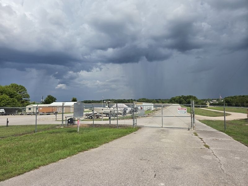
The view of the lake and dam in the background.
Photographed by James Hulse, September 5, 2026
4. West Fork of The San Jacinto River Marker
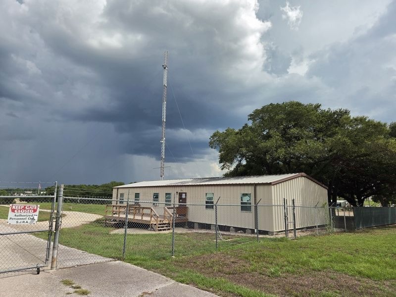
Coast Guard Auxiliary building near the markers.
Credits. This page was last revised on September 6, 2026. It was originally submitted on September 5, 2026, by James Hulse of Medina, Texas. This page has been viewed 9 times since then. Photos: 1, 2, 3, 4. submitted on September 6, 2026, by James Hulse of Medina, Texas.
