
Near Winchester in Frederick County, Virginia — The American South (Mid-Atlantic)
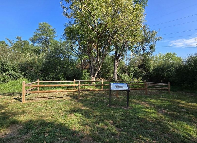
Caring For the Wounded and Dead
The First Battle of Kernstown
Photographed by Bradley Owen, August 29, 2026
1. Caring For the Wounded and Dead Marker
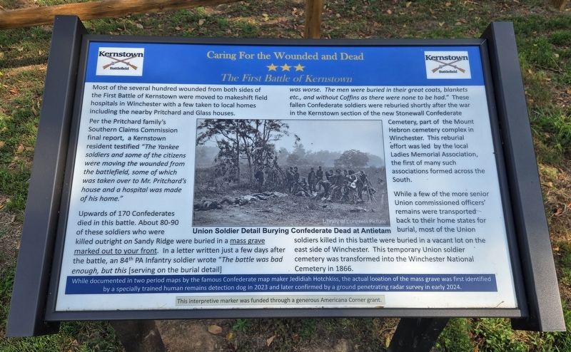
Most of the several hundred wounded from both sides of the First Battle of Kernstown were moved to makeshift field hospitals in Winchester with a few taken to local homes including the nearby Pritchard and Glass houses.
Per the Pritchard family's Southern Claims Commission final report, a Kernstown resident testified "The Yankee soldiers and some of the citizens were moving the wounded from the battlefield, some of which was taken over to Mr. Pritchard's house and a hospital was made of his home."
Upwards of 170 Confederates died in this battle. About 80-90 of these soldiers who were killed outright on Sandy Ridge were buried in a mass grave marked out to your front. In a letter written just a few days after the battle, an 84th PA Infantry soldier wrote "The battle was bad enough, but this [serving on the burial detail] was worse. The men were buried in their great coats, blankets etc., and without Coffins as there were none to be had." These fallen Confederate soldiers were reburied shortly after the war in the Kernstown section of the new Stonewall Confederate Cemetery, part of the Mount Hebron cemetery complex
this page online
While a few of the more senior Union commissioned officers' remains were transported back to their home states for burial, most of the Union soldiers killed in this battle were buried in a vacant lot on the east side of Winchester. This temporary Union soldier cemetery was transformed into the Winchester National Cemetery in 1866.
While documented in two period maps by the famous Confederate map maker Jedidiah Hotchkiss, the actual location of the mass grave was first identified by a specially trained human remains detection dog in 2023 and later confirmed by a ground penetrating radar survey in early 2024.
(Caption):
Union soldier detail burying Confederate dead at Antietam
Library of Congress picture
Erected 2026 by Kernstown Battlefield Association.
Topics. This historical marker is listed in these topic lists: Cemeteries & Burial Sites • War, US Civil. A significant historical year for this entry is 1866.
Location. 39° 8.832′ N, 78° 12.695′ W. Marker is near Winchester,
Photographed by Bradley Owen, August 29, 2026
2. Caring For the Wounded and Dead Marker

Regionally, this marker is in Virginia’s Shenandoah Valley. It is also in the American South, specifically in the Upper South, and in the Mid-Atlantic. Globally, it is in North America, the Western Hemisphere, the Western World, and the Anglosphere. Historically, it finds itself in what was once the territory of the Mississippian Culture, one of the original Thirteen Colonies, one of the Confederate States of America, and the Antebellum South.
Other nearby markers. At least 8 other markers are within walking distance of this marker: Other Actions On Sandy Ridge (within shouting distance of this marker);
Photographed by Bradley Owen, August 29, 2026
3. Sandy Ridge Historical Trail Marker
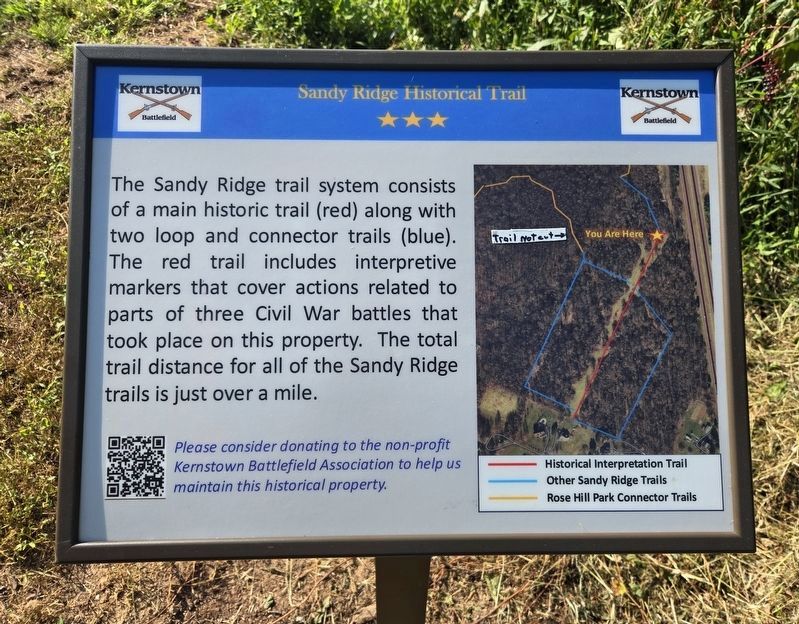
The Sandy Ridge trail system consists of a main historic trail (red) along with two loop and connector trails (blue). The red trail includes interpretive markers that cover actions related to parts of three Civil War battles that took place on this property. The total trail distance for all of the Sandy Ridge trails is just over a mile.
Photographed by Bradley Owen, August 29, 2026
4. Sandy Ridge Historical Trail Marker (right)
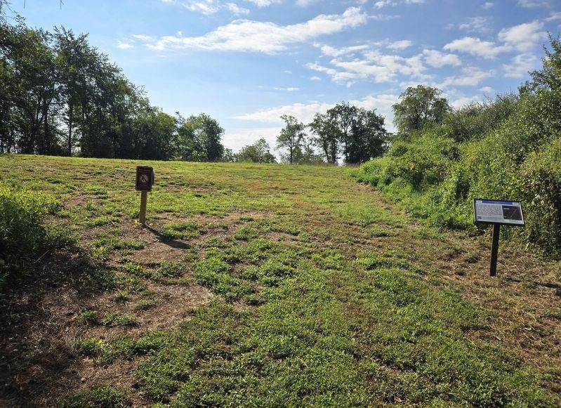
The "Caring For the Wounded and Dead" marker is out of the frame to the left.
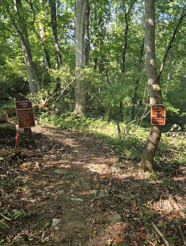
Photographed by Bradley Owen, August 29, 2026
5. Kernstown Battlefield Association Property Line
Transition point on the Sandy Ridge Trail.
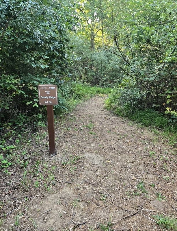
Photographed by Bradley Owen, August 29, 2026
6. Sandy Ridge Trail Sign
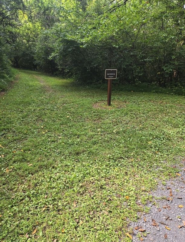
Photographed by Bradley Owen, August 29, 2026
7. Loop Trail Sign off the Main Loop Trail

Photographed by Frederick County Parks and Recreation, September 6, 2026
8. Rose Hill Park Trail Map
Directions to the marker:
lower gray Main Loop Trail to left-most red Loop Trail to yellow Sandy Ridge Trail.
Credits. This page was last revised on September 6, 2026. It was originally submitted on September 6, 2026, by Bradley Owen of Morgantown, West Virginia. This page has been viewed 11 times since then. Photos: 1, 2, 3, 4, 5, 6, 7, 8. submitted on September 6, 2026, by Bradley Owen of Morgantown, West Virginia.
