Ashford in Pierce County, Washington — The American West (Northwest)
Extreme Snowfall
Mount Rainier National Park
| — | National Park Service | — |
Photographed by Bill Coughlin, September 7, 2026
1. Extreme Snowfall Marker
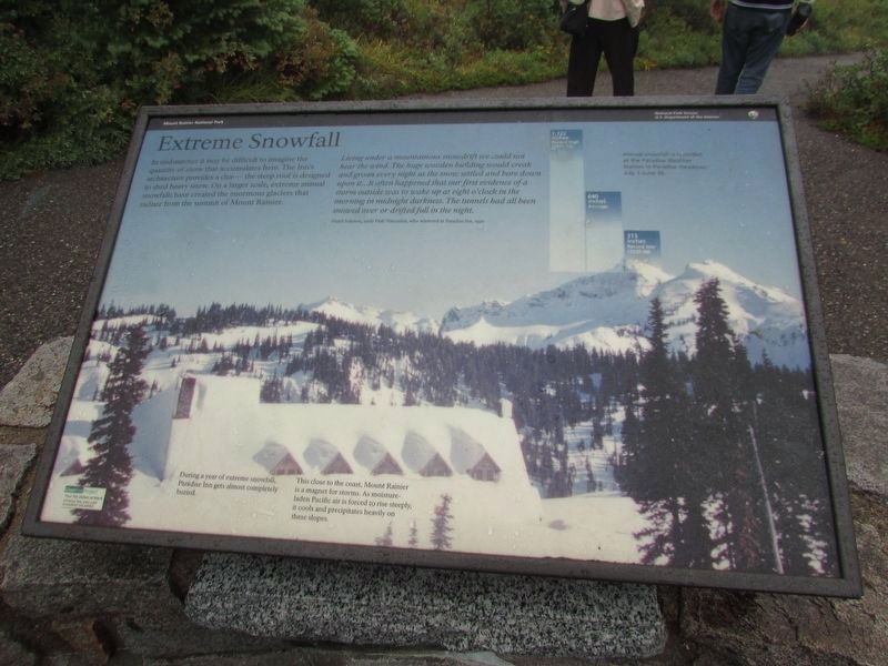
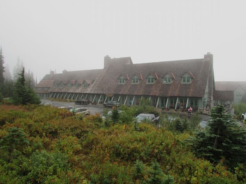
In midsummer it may be difficult to imagine the quantity of snow that accumulates here. The Inn’s architecture provides a clue – the steep roof is designed to shed heavy snow. On a larger scale, extreme annual snowfalls have created the enormous glaciers that radiate from the summit of Mount Rainier.
Living under a mountainous snowdrift we could not hear the wind. The huge wooden building would creak and groan every night as the snow settled and bore down upon it . . . It often happened that our first evidence of a storm outside was to wake up at eight o’clock in the morning in midnight darkness. The tunnels had all been snowed over or drifted full in the night.
Floyd Schmoe, early Park Naturalist, who wintered at Paradise Inn, 1920
During a year of extreme snowfall, Paradise Inn gets almost completely buried.
This close to the coast, Mount Rainier is a magnet for storms. As moisture-laden Pacific air is forced to rise steeply, it cools and precipitates heavily on these slopes.
Annual snowfall is recorded at the Paradise Weather Stations in Paradise meadows, July 1 – June 30.
1,122 inches, Record High (1971-72); 640 inches Average;
this page online
Topics. This historical marker is listed in these topic lists: Architecture • Environment • Natural Features • Parks & Recreational Areas. A significant historical date for this entry is June 30, 1920.
Location. 46° 47.195′ N, 121° 44.088′ W. Marker is in Ashford, Washington, in Pierce County. It is on Paradise Road. Touch for map. Marker is in this post office area: Ashford WA 98304, United States of America. Touch for directions.

Regionally, this marker is in the Puget Sound Region and in Greater Seattle. It is also on the American Pacific Coast, in the Pacific Northwest, and in the Lewis & Clark Corridor. Globally, it is in North America, in the Cascade Range, in the Inside Passage, on the Ring of Fire, in the Pacific Rim, in the Western Hemisphere, in the Western World, and in the Anglosphere.
Other nearby markers. At least 8 other markers are within walking distance of this marker: Climbers’ Guide House (within shouting distance of this marker); Paradise Inn (within shouting distance of this marker); Paradise Historic District (within shouting distance of this marker); Paradise Ranger Station
Photographed by Bill Coughlin, September 7, 2026
2. Extreme Snowfall Marker
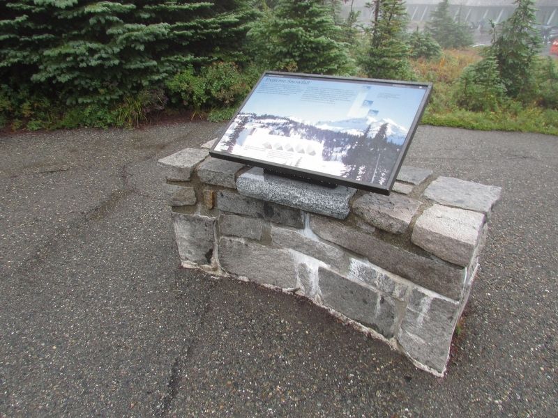
More about this marker. The marker contains a picture of the Paradise area after a heavy snowfall.
Photographed by Bill Coughlin, September 7, 2026
3. Paradise Inn
The architecture of the nearby Paradise Inn shows the features described on the marker.
Credits. This page was last revised on September 13, 2026. It was originally submitted on September 13, 2026, by Bill Coughlin of Woodland Park, New Jersey. This page has been viewed 3 times since then. Photos: 1, 2, 3. submitted on September 13, 2026, by Bill Coughlin of Woodland Park, New Jersey.
