
South Wharf in Melbourne, Victoria, Australia — Oceania
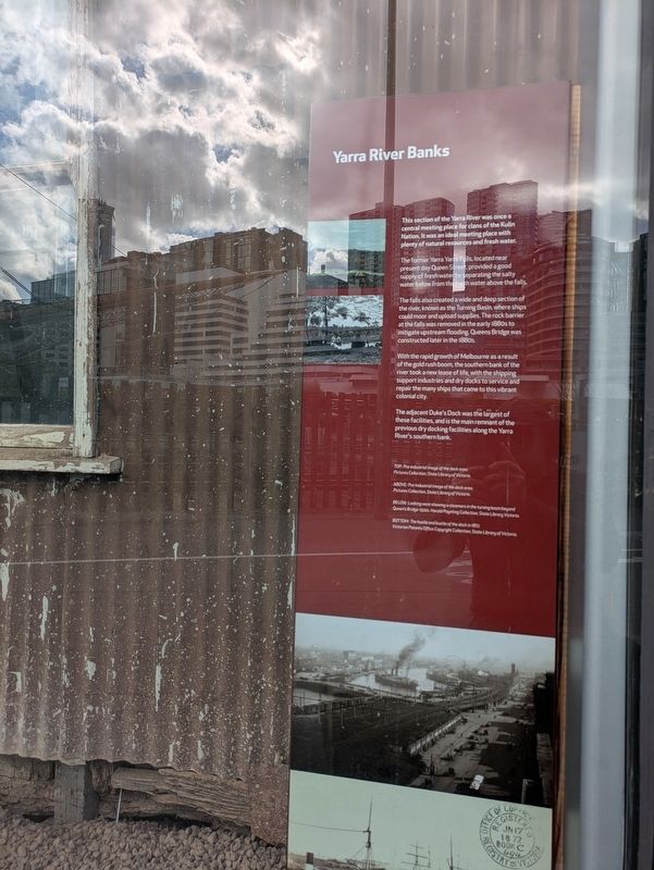
Yarra River Banks
| — | Melbourne Convention Centre | — |
Photographed by Dean Barton-Ancliffe, August 24, 2026
1. Yarra River Banks Marker
The former Yarra Yarra Falls, located near present day Queen Street, provided a good supply of fresh water by separating the salty water below from the fresh water above the falls.
The falls also created a wide and deep section of the river, known as the Turning Basin, where ships could moor and upload supplies. The rock barrier at the falls was removed in the early 1880s to mitigate upstream flooding. Queens Bridge was constructed later in the 1880s.
With the rapid growth of Melbourne as a result of the gold rush boom, the southern bank of the river took a new lease of life, with the shipping support industries and dry docks to service and repair the many ships that came to this vibrant colonial city.
The adjacent Duke's Dock was the largest of these facilities, and is the main remnant of the previous dry docking facilities along the Yarra River's southern bank.
Erected by Melbourne Convention Centre.
Topics. This historical
this page online
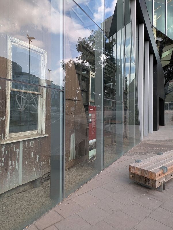
Location. 37° 49.477′ S, 144° 57.177′ E. Marker is in South Wharf, Victoria, in Melbourne. It is on Orrs Walk 0.1 kilometers south of South Wharf Promenade, on the right when traveling south. Touch for map. Marker is at or near this postal address: 1 Convention Centre Place, South Wharf VIC 3006, Australia. Touch for directions.

Regionally, it is in Oceania, in Australasia, in the Pacific Ocean, in South Pacific, on the Pacific Rim, in the Western World, and in the Anglosphere. Historically, it finds itself in what was once a British colony.
Other nearby markers. At least 8 other markers are within walking distance of this marker: Merchant Navy Memorial (about 120 meters away, measured in a direct line); Transforming the Yarra (about 120 meters away); The Turning Basin (approx. 0.8 kilometers away); Customs House (approx. 0.9 kilometers away); Old Customs House Restoration (approx. 0.9 kilometers away); Australians' History (approx.
Photographed by Dean Barton-Ancliffe, August 24, 2026
2. Yarra River Banks Marker
Also see . . . History of the Lower Yarra River. Yarra River Melbourne<blockquote>The discovery of the Yarra, and its fresh water, was crucial to the founding and subsequent development of Melbourne. During early years of settlement, ships travelled upstream as far as Queensbridge Street, where a rock barrier and water cascades blocked them. The falls separated the salt water of the bay from the fresh river water used by early Melburnians for drinking, bathing, irrigation and fishing. Enterprize Park and The Turning Basin, on the east side of today's Melbourne Aquarium, is where ships could be turned around in the river. Early commercial and housing development clustered near where the ships berthed. The ancient delta of the Yarra meant that the land between Williamstown and St Kilda was mostly swamp. Early Melbourne, therefore, was built on the higher northern banks, relegating the south bank to light industrial development until the 1990s. The river's southern bank became an overnight 'tent city' during the early 1850s when tens of thousands of hopefuls from around the world descended on Melbourne as a result of the Victorian gold rush. As industry spread upstream, suburbs such as Collingwood and Richmond grew out from the centre. Fashionable homes were built on the south side, such as Como House in South Yarra. Before bridges spanned the Yarra, ferries and punts carried people and their animals from bank to bank. The first bridge at the main Swanston St-St Kilda Road crossing was a timber structure built in 1845. The current Princes Bridge, resembling London's Blackfriars Bridge, opened in 1888. Development caused problems of sewage and industrial waste contamination of the lower Yarra. Only 20 years after settlement, the river was declared undrinkable. By the 1890s a Scottish visitor recorded that the river was “the filthiest piece of water I have ever had the misfortune to be afloat on" (Submitted on September 20, 2026, by Dean Barton-Ancliffe of Rowville, Victoria.)
Credits. This page was last revised on September 20, 2026. It was originally submitted on September 20, 2026, by Dean Barton-Ancliffe of Rowville, Victoria. This page has been viewed 7 times since then. Photos: 1, 2. submitted on September 20, 2026, by Dean Barton-Ancliffe of Rowville, Victoria. • Andrew Ruppenstein was the editor who published this page.
