Washington in Wilkes County, Georgia — The American South (South Atlantic)
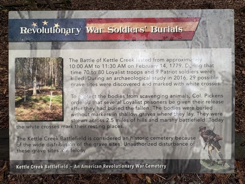
Revolutionary War Soldiers' Burials
Kettle Creek Battlefield - An American Revolutionary War Cemetery
Photographed by Darren Jefferson Clay, September 20, 2026
1. Revolutionary War Soldiers' Burials Marker
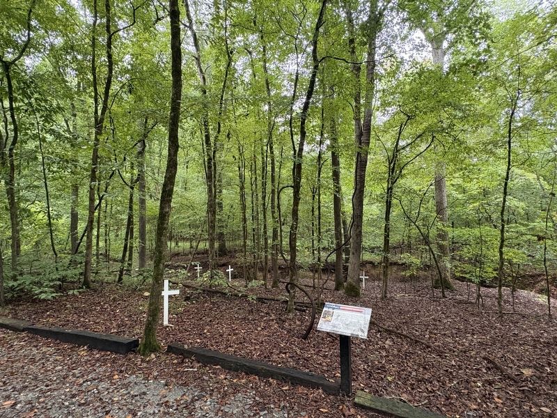
To protect the bodies from scavenging animals, Col. Pickens ordered that several Loyalist prisoners be given their release after they had buried the fallen. The bodies were buried without markers in shallow graves where they lay. They were strewn across 2.5 miles of hills and marshy battlefield. Today the white crosses mark their resting places.
The Kettle Creek Battlefield is considered an historic cemetery because of the wide distribution of the grave sites. Unauthorized disturbance of these grave sites is a felony.
Topics. This historical marker is listed in these topic lists: Anthropology & Archaeology • Cemeteries & Burial Sites • War, US Revolutionary. A significant historical date for this entry is February 14, 1779.
Location. 33° 41.465′ N, 82° 53.202′ W. Marker is in Washington, Georgia, in Wilkes County. It can be reached from War
this page online

Regionally, this marker is in the Piedmont. It is also in the American South and specifically in the Deep South. Globally, it is in North America, the Western Hemisphere, the Western World, and the Anglosphere. Historically, it finds itself in what was once the territory of the Mississippian Culture, one of the original Thirteen Colonies, one of the Confederate States of America, and the Antebellum South.
Other nearby markers. At least 8 other markers are within 2 miles of this marker, measured as the crow flies: Early Colonial Roads (a few steps from this marker); Overview of the Battle (within shouting distance of this marker); Kettle Creek Battlefield (within shouting distance of this marker); The Battle of Kettle Creek (about 300 feet away, measured in a direct line); a different marker also named Battle of Kettle Creek (about 300 feet away); Clark's Attack (about 400 feet away); War Comes to Kettle Creek (approx. ¼ mile away);
Photographed by Darren Jefferson Clay, September 20, 2026
2. Revolutionary War Soldiers' Burials Marker
Credits. This page was last revised on October 11, 2026. It was originally submitted on September 20, 2026, by Darren Jefferson Clay of Duluth, Georgia. This page has been viewed 7 times since then. Photos: 1, 2. submitted on October 6, 2026, by Darren Jefferson Clay of Duluth, Georgia. • Bernard Fisher was the editor who published this page.
