Jamestown in Newport County, Rhode Island — The American Northeast (New England)
Roger Williams and Canonicus
🕊️
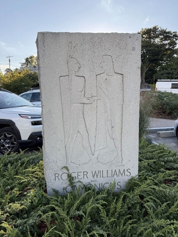
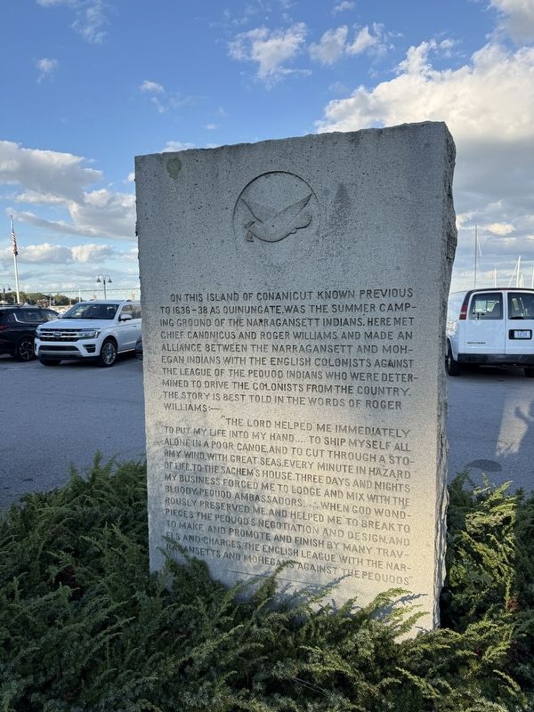
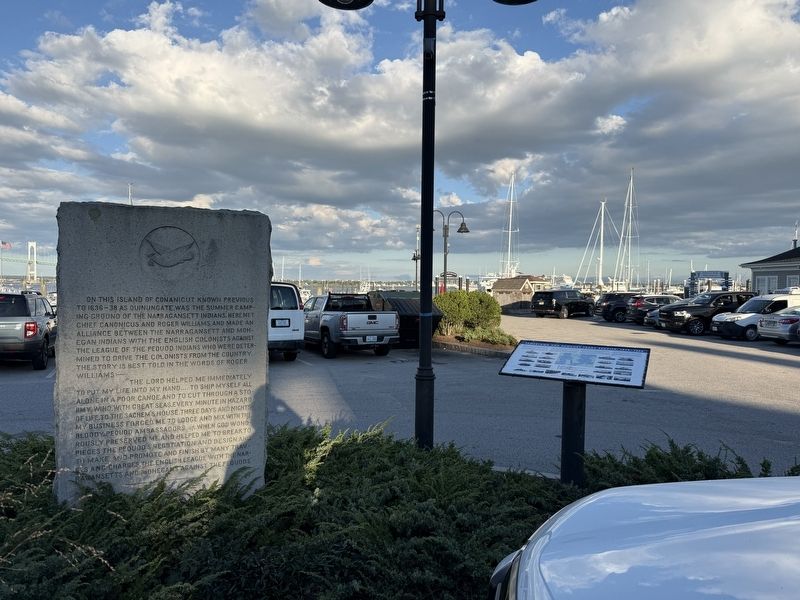
On this Island of Conanicut known previous to 1636-38 as Quinungate, was the summer camping ground of the Narragansett Indians. Here met Chief Canonicus and Roger Williams and made an alliance between the Narragansett and Mohegan Indians with the English colonists against the League of the Pequod Indians who were determined to drive the colonists from the country. The story is best told in the worlds of Roger Williams:—
"The Lord helped me immediately to put my life into my hand.... to ship myself all alone in a poor canoe, and to cut through a stormy wind, with great seas, every minute in hazard to life, to the sachem's house. Three days and nights my business forced me to lodge and mix with the bloody Pequod ambassadors.....when God wondrously preserved me, and helped me to breat to pieces the Pequod's negotiation and design, and to make and promote and finish by many travels and charges. The English league with the Narragansetts and Mohegans against the Pequods"
Topics. This historical marker is listed in these topic lists: Colonial Era • Indigenous Peoples and Communities • Settlements & Settlers
this page online
Location. 41° 29.753′ N, 71° 22.015′ W. Marker is in Jamestown, Rhode Island, in Newport County. It is on East Ferry Wharf east of Conanicus Avenue. Touch for map. Marker is at or near this postal address: 4 E Ferry Wharf, Jamestown RI 02835, United States of America. Touch for directions.

Regionally, this marker is on Narragansett Bay. It is also in the American Northeast, in New England, and on the Eastern Seaboard. Globally, it is in the North Atlantic Region, North America, the Western Hemisphere, the Western World, and the Anglosphere. Historically, it finds itself in what was once one of the original Thirteen Colonies.
Other nearby markers. At least 8 other markers are within 2 miles of this marker, measured as the crow flies: Jamestown and Newport Ferry Service: 1675-1969 (here, next to this marker); Veterans Memorial (within shouting distance of this marker); Memorial to the Veterans of Jamestown (approx. 0.4 miles away); Fort Wetherill (approx. 1.3 miles away); Harbor Mine (Torpedo) Complex (approx. 1.3 miles away); History of the Dumplings (approx.
Credits. This page was last revised on September 21, 2026. It was originally submitted on September 21, 2026, by Devry Becker Jones of Washington, District of Columbia. This page has been viewed 7 times since then. Photos: 1, 2, 3. submitted on September 21, 2026, by Devry Becker Jones of Washington, District of Columbia.
