Running Water in Bon Homme County, South Dakota — The American Midwest (Upper Plains)
The Missouri
Photographed by William Fischer, Jr., September 17, 2026
1. The Missouri Marker
Highway or Obstacle?
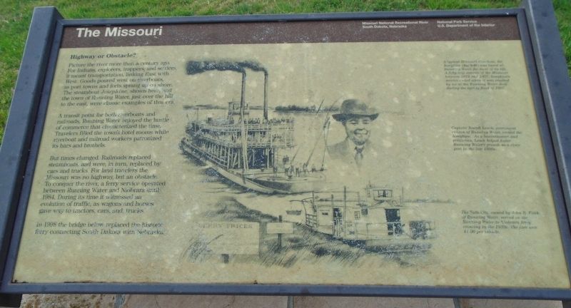
Picture the river more than a century ago. For Indians, explorers, trappers, and settlers, it meant transportation, linking East with West. Goods poured west on riverboats, as port towns and forts sprang up on shore. The steamboat Josephine, shown here, and the town of Running Water, just over the hill to the east, were classic examples of that era.
A transit point for both riverboats and railroads, Running Water enjoyed the hustle of commerce that characterized the time. Travelers filled the town's hotel rooms while riverboat and railroad workers patronized its bars and brothels.
But times changed. Railroads replaced steamboats, and were, in turn, replaced by cars and trucks. For land travelers the Missouri was no highway, but an obstacle. To conquer the river, a ferry service operated between Running Water and Niobrara until 1984. During its time it witnessed an evolution of traffic, as wagons and horses gave way to tractors, cars, and, trucks.
In 1998 the bridge below replaced the historic ferry connecting South Dakota with Nebraska.
[Illustration captions, top to bottom, read]
this page online
• Captain Joseph Leach, prominent citizen of Running Water, owned the Josephine. As a businessman and politician, Leach helped foster Running Water's growth as a river port in the late 1800s.
The Falls City, owned by John B. Fitch of Running Water, served on the Ranning Water to Niobrara ferry crossing in the 1930s. The fare was $1.00 per vehicle.
Erected by National Park Service.
Topics. This historical marker is listed in these topic lists: Immigration • Indigenous Peoples and Communities • Industry & Commerce • Waterways & Vessels. A significant historical year for this entry is 1984.
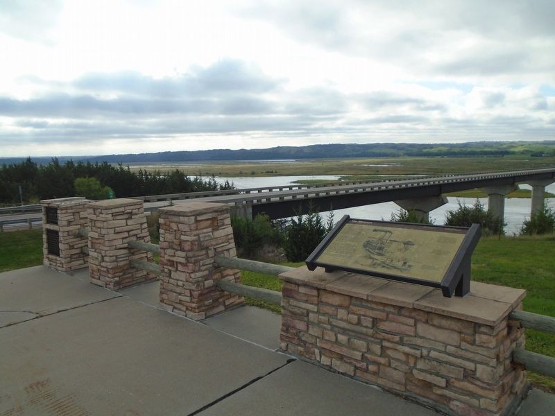
Location. 42° 46.178′ N, 97° 59.402′ W. Marker is in Running Water, South Dakota, in Bon Homme County. It is on State Highway 37, on the right when traveling south. Marker is at the Missouri River Overlook, adjacent to the Standing Bear Memorial
Photographed by William Fischer, Jr., September 17, 2026
2. The Missouri Marker
Chief Standing Bear Bridge in background

Regionally, this marker is in East River. It is also in the American Lewis & Clark Corridor, on the prairies, and on the Northern Plains. Globally, it is in North America, the Western Hemisphere, the Western World, and the Anglosphere. Historically, it finds itself in what was once Rupert’s Land and also the Louisiana Purchase.
Other nearby markers. At least 8 other markers are within 4 miles of this marker, measured as the crow flies: Charles D. Adler (here, next to this marker); Up the Missouri (here, next to this marker); Missouri River (a few steps from this marker); The Sage Brothers (approx. 2½ miles away in Nebraska); Life After the Expedition (approx. 2.6 miles away in Nebraska); J. Alan Cramer Interpretive Shelter (approx. 3.1 miles away in Nebraska); Lewis and Clark Expedition (approx. 3.1 miles away in Nebraska); They Opened The West (approx. 3.1 miles away in Nebraska). Touch for a list and map of all markers in Running Water.
Photographed by William Fischer, Jr., September 17, 2026
3. The Missouri River
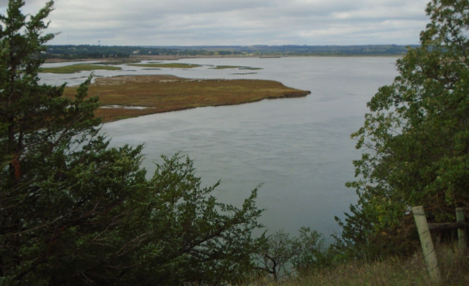
Looking upstream from the Overlook
Credits. This page was last revised on September 25, 2026. It was originally submitted on September 25, 2026, by William Fischer, Jr. of Reynoldsburg, Ohio. This page has been viewed 6 times since then. Photos: 1, 2, 3. submitted on September 25, 2026, by William Fischer, Jr. of Reynoldsburg, Ohio.
