Near Niobrara in Knox County, Nebraska — The American Midwest (Upper Plains)
1846-47 Mormon Winter Camp
Photographed by William Fischer, Jr., September 17, 2026
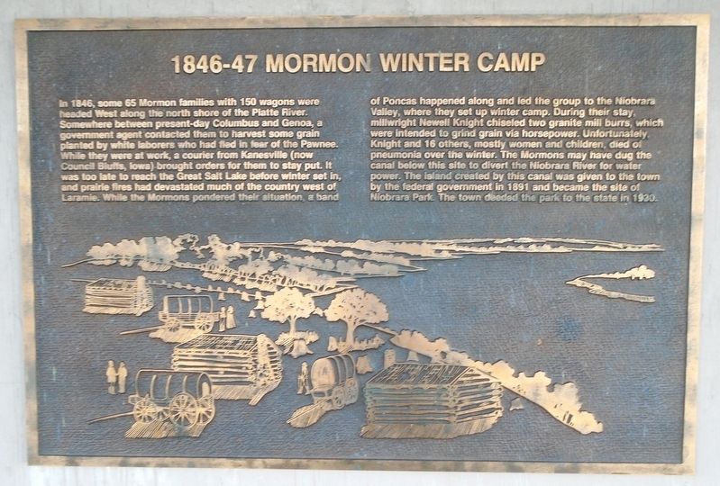
1. 1846-47 Mormon Winter Camp Marker
In 1846, some 65 Mormon families with 150 wagons were headed West along the north shore of the Platte River. Somewhere between present-day Columbus and Genoa, a government agent contacted them to harvest some grain planted by white laborers who had fled in fear of the Pawnee. While they were at work, a courier from Kanesville (now Council Bluffs, Iowa) brought orders for them to stay put. It was too late to reach the Great Salt Lake before winter set in, and prairie fires had devastated much of the country west of Laramie. While the Mormons pondered their situation, a band of Poncas happened along and led the group to the Niobrara Valley, where they set up winter camp.
During their stay, millwright Newell Knight chiseled two granite mill burrs, which were intended to grind grain via horsepower. Unfortunately, Knight and 16 others, mostly women and children, died of pneumonia over the winter. The Mormons may have dug the canal below this site to divert the Niobrara River for water power. The island created by this canal was given to the town by the federal government in 1891 and became the site of Niobrara
this page online
[Stylized winter camp illustration]
Erected by Nebraska State Parks.
Topics and series. This historical marker is listed in these topic lists: Immigration • Indigenous Peoples and Communities • Settlements & Settlers • Waterways & Vessels. In addition, it is included in the Mormon Pioneer Trail series list. A significant historical year for this entry is 1846.
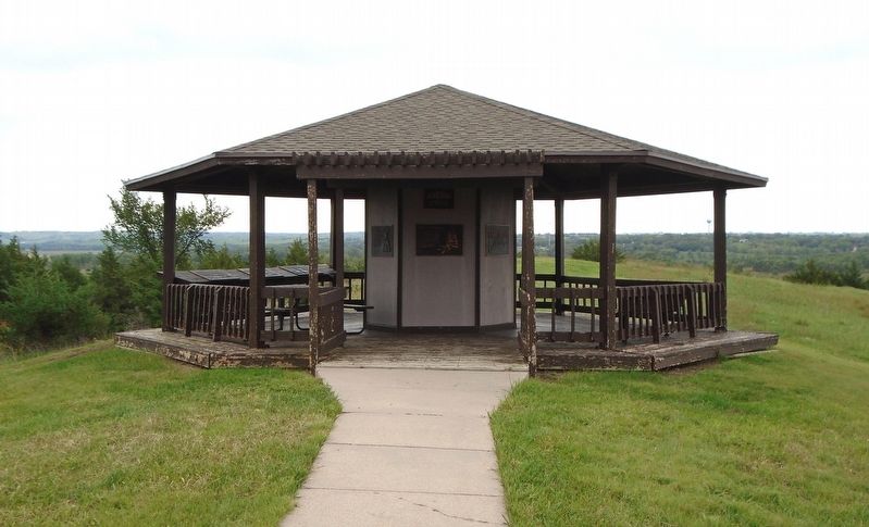
Location. 42° 45.953′ N, 98° 3.082′ W. Marker is near Niobrara, Nebraska, in Knox County. Marker is under the J. Alan Cramer Interpretive Shelter in Niobrara State Park. Touch for map. Marker is at or near this postal address: 89261 522 Avenue, Niobrara NE 68760, United States of America. Touch for directions.

Regionally, this marker is in Eastern Nebraska. It is also in the American Midwest, in the Corn Belt, and on the prairies. Globally, it is in North America, the Western Hemisphere, the Western World, and the Anglosphere. Historically, it finds itself in what was once the Louisiana Purchase.
Other nearby markers. At least 8 other markers are within walking distance of this marker: J. Alan Cramer Interpretive Shelter
Photographed by William Fischer, Jr., September 17, 2026
2. J. Alan Cramer Interpretive Shelter Markers
More about this marker. Nebraska State Parks entrance fee required.
Credits. This page was last revised on September 27, 2026. It was originally submitted on September 27, 2026, by William Fischer, Jr. of Reynoldsburg, Ohio. This page has been viewed 5 times since then. Photos: 1, 2. submitted on September 27, 2026, by William Fischer, Jr. of Reynoldsburg, Ohio.
