Gettysburg in Adams County, Pennsylvania — The American Northeast (Mid-Atlantic)
Basil Biggs
Inscription.
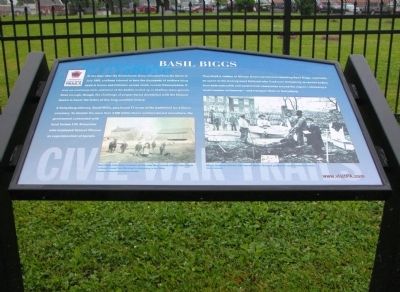
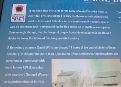
In the days after the Confederate Army retreated from the North in July 1863, civilians labored to bury the thousands of soldiers lying dead in towns and hillsides across south-central Pennsylvania. It was an enormous task, and most of the bodies ended up in shallow mass graves. Soon enough, though, the challenge of proper burial dovetailed with the Union's desire to honor the fallen of this long-awaited victory.
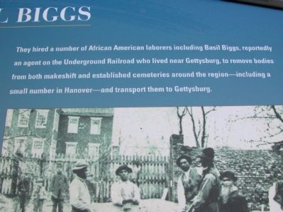
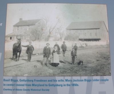
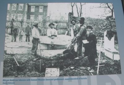
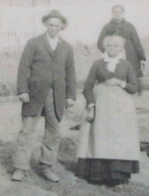
A Gettysburg attorney, David Wills, purchased 17 acres of the battlefield for a Union cemetery. To disinter the more than 3,500 fallen Union soldiers buried elsewhere, the government contracted with local farmer F.W. Biesecker who employed Samuel Weaver as superintendent of burials. They hired a number of African American laborers including Basil Biggs, reportedly an agent on the Underground Railroad who lived near Gettysburg, to remove bodies from both makeshift and established cemeteries around the region -- including a small number in Hanover -- and transport them to Gettysburg.
Erected 2009 by Pennsylvania Civil War Trails.
Topics. This historical marker is listed in these topic lists: Abolition & Underground RR • African Americans • Cemeteries & Burial Sites • War, US Civil. A significant historical month for this entry is July 1863.
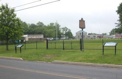
Location. 39° 49.567′ N, 77° 14.133′ W. Marker is in Gettysburg, Pennsylvania, in Adams County. Marker is on Long Lane just north of Lincoln Lane, on the right when traveling north. The wayside marker is on the east side of Long Lane, a few steps south of the State Historical marker for Lincoln Cemetery. Touch for map. Marker is in this post office area: Gettysburg PA 17325, United States of America. Touch for directions.
Other nearby markers. At least 8 other markers are within walking distance of this marker. Lincoln Cemetery (here, next to this marker); a different marker also named Lincoln Cemetery (a few steps from this marker); Where do we bury our dead? Lincoln Cemetery (a few steps from this marker); Monumental Stories (within shouting distance of this marker); Goodwill Cemetery (about 400 feet away, measured in a direct line); St. Paul's A.M.E. Zion Church (about 700 feet away); Agricultural Hall (approx. 0.2 miles away); Mary Virginia Wade Lived in This House (approx. 0.2 miles away). Touch for a list and map of all markers in Gettysburg.
Photographed By Karl Stelly, May 28, 2010
7. Historical Markers at Lincoln Cemetery
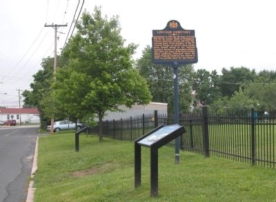
Long Lane can be seen at the left. The wayside exhibit marker for Basil Biggs is closest to the camera. The wayside exhibit marker for Lincoln Cemetery is at left center. The State Historical Marker for Lincoln Cemetery is also in view, next to the fence.
Credits. This page was last revised on June 16, 2016. It was originally submitted on May 28, 2010, by Karl Stelly of Gettysburg, Pennsylvania. This page has been viewed 3,073 times since then and 46 times this year. Photos: 1, 2, 3, 4, 5, 6, 7. submitted on May 28, 2010, by Karl Stelly of Gettysburg, Pennsylvania. 8. submitted on June 3, 2010, by Karl Stelly of Gettysburg, Pennsylvania. • Craig Swain was the editor who published this page.
