Near Interior in Jackson County, South Dakota — The American Midwest (Upper Plains)
A Slump And A Bump
Photographed by William Fischer, Jr., September 18, 2026
1. A Slump And A Bump Marker
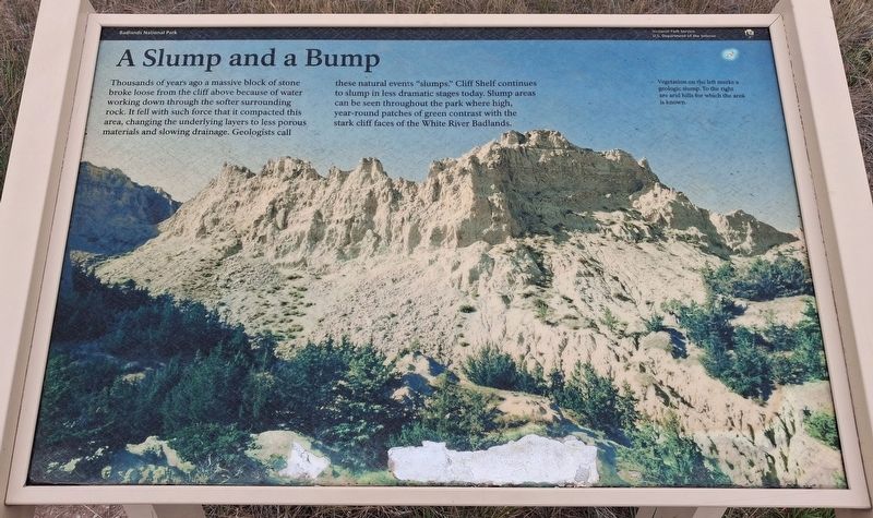
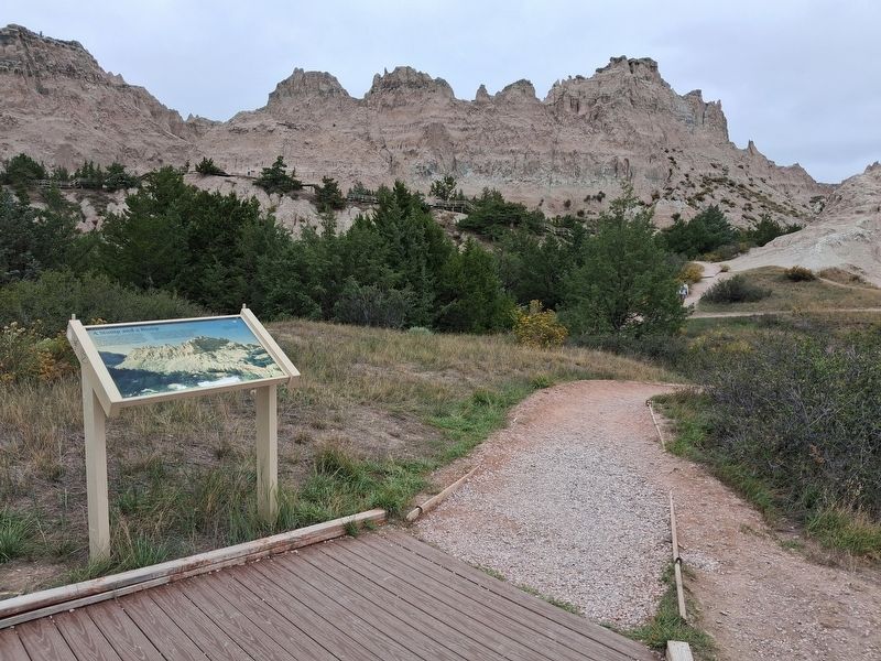
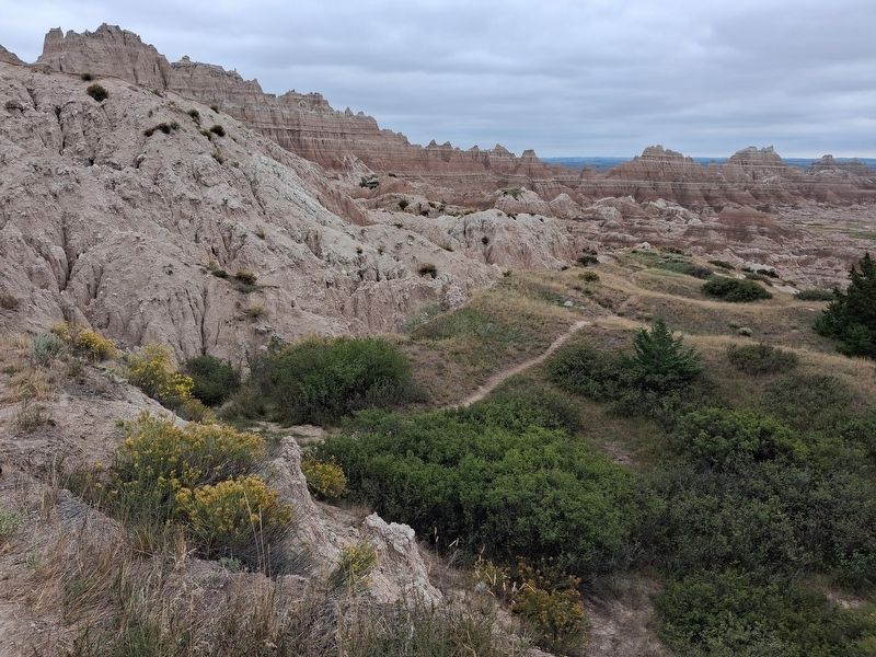
Thousands of years ago a massive block of stone broke loose from the cliff above because of water working down through the softer surrounding rock. It fell with such force that it compacted this area, changing the underlying layers to less porous materials and slowing drainage. Geologists call these natural events "slumps." Cliff Shelf continues to slump in less dramatic stages today. Slump areas can be seen throughout the park where high, year-round patches of green contrast with the stark cliff faces of the White River Badlands.
[Background photo caption reads]
Vegetation on the left marks a geologic slump. To the right are arid hills for which the area is known.
Erected by National Park Service.
Topics. This historical marker is listed in these topic lists: Environment • Parks & Recreational Areas • Science & Medicine.
Location. 43° 45.047′ N, 101° 55.797′ W. Marker is near Interior, South Dakota, in Jackson County. Marker is in Badlands National Park, accessed from the Cliff Shelf Trailhead, off Badlands Loop Road (SD 240). Touch for map.
this page online

Regionally, this marker is on the Oglala Lakota Pine Ridge Reservation, in West River, and in the Badlands. It is also in the American Lewis & Clark Corridor, on the prairies, and on the Northern Plains. Globally, it is in North America, the Western Hemisphere, the Western World, and the Anglosphere. Historically, it finds itself in what was once Rupert’s Land and also the Louisiana Purchase.
Other nearby markers. At least 8 other markers are within 3 miles of this marker, measured as the crow flies: Cliff Shelf Nature Trail (about 300 feet away, measured in a direct line); Badlands Oasis (about 500 feet away); Serving Visitors Since 1935 (approx. ¾ mile away); Mako sica (approx. one mile away); Anatomy of a Badland (approx. one mile away); Saddle Pass Trail (approx. 2.3 miles away); The Big Badlands (approx. 2.8 miles away); The Badlands Wall (approx. 2.8 miles away). Touch for a list and map of all markers in Interior.
Photographed by William Fischer, Jr., September 18, 2026
2. A Slump And A Bump Marker
Photographed by William Fischer, Jr., September 18, 2026
3. View From Near A Slump And A Bump Marker
Looking southeast
Credits. This page was last revised on September 30, 2026. It was originally submitted on September 29, 2026, by William Fischer, Jr. of Reynoldsburg, Ohio. This page has been viewed 5 times since then. Photos: 1, 2. submitted on September 29, 2026, by William Fischer, Jr. of Reynoldsburg, Ohio. 3. submitted on September 30, 2026, by William Fischer, Jr. of Reynoldsburg, Ohio.
