Vermilion Pass in East Kootenay, British Columbia — Canada’s West Coast (North America)
Vermilion Pass
⎯⎯⎯
Le col Vermilion
Photographed by Cosmos Mariner, July 2, 2022
1. Vermilion Pass / Le col Vermilion Marker

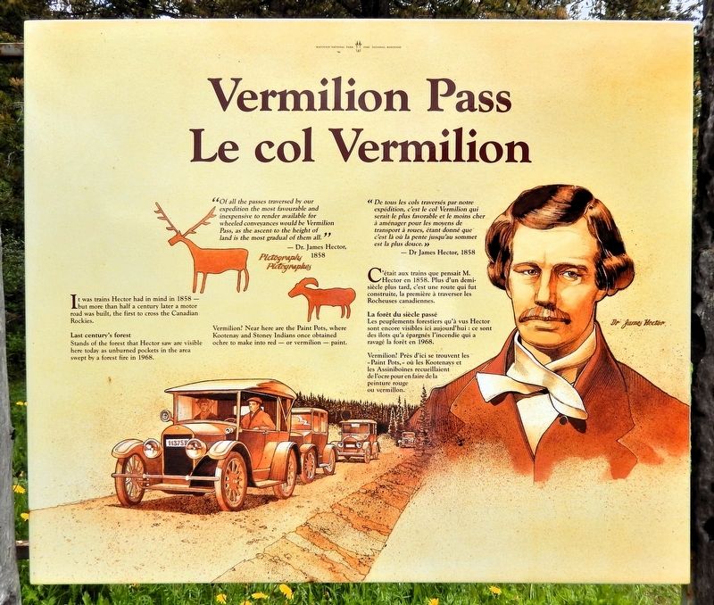
“Of all the passes traversed by our expedition the most favourable and inexpensive to render available for wheeled conveyances would be Vermilion Pass, as the ascent to the height of land is the most gradual of them all.”
— Dr. James Hector, 1858
It was trains Hector had in mind in 1858 — but more than half a century later a motor road was built, the first to cross the Canadian Rockies.
Last century's forest
Stands of the forest that Hector saw are visible here today as unburned pockets in the area swept by a forest fire in 1968.
Vermilion? Near here are the Paint Pots, where Kootenay and Stoney Indians once obtained ochre to make into red — or vermilion — paint.
« De tous les cols traversés par notre expédition, c'est le col Vermillon qui serait le plus favorable et le moins cher à aménager pour les moyens de transport à roues, étant donné que' c'est là où la pente jusqu'au sommet est la plus douce. »
— Dr James Hector, 1858
C'était aux trains que pensait M. Hector en 1858. Plus d'un demi-siècle plus tard, c'est une route qui fut construite, la première à traverser les Rocheuses canadiennes.
La forêt du siècle passé
Les
this page online
Vermilion? Près d'ici se trouvent les « Paint Pots, » où les Kootenays et les Assiniboines recueillaient de l'ocre pour en faire de la peinture rouge ou vermillon.
Topics. This historical marker is listed in these topic lists: Indigenous Peoples and Communities • Natural Features • Roads & Vehicles.
Location. 51° 13.676′ N, 116° 3′ W. Marker is in Vermilion Pass, British Columbia, in East Kootenay. It is on Banff-Windermere Highway (Provincial Highway 93), on the right when traveling north. The marker is in the wayside on the British Columbia side of the Vermilion Pass Summit. Touch for map. Marker is in this post office area: Vermilion Pass BC V0A 1P0, Canada. Touch for directions.

Regionally, this marker is in the BC Interior and in the Kootenay Rockies. Globally, it is in North America, in the Rocky Mountains, on the Ring of Fire, on the Pacific Rim, in the Western Hemisphere, in the Western World, and in
Photographed by Cosmos Mariner, July 2, 2022
2. Vermilion Pass / Le col Vermilion Marker
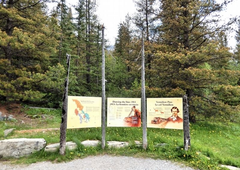
Looking east from the Vermilion Pass wayside. This marker is the rightmost of three interpretive panels at this location.
Other nearby markers. At least 8 other markers are within 24 kilometers of this marker, measured as the crow flies: Drawing the line: 1913 / 1913: La frontière est tracée (here, next to this marker); Banff, Jasper, Kootenay, Yoho (here, next to this marker); Castle Camp (approx. 9.1 kilometers away in Alberta); Castle Mountain Internment Camp (approx. 9.1 kilometers away in Alberta); Internment Camp / Camp d'internement (approx. 9.1 kilometers away in Alberta); Storm Mountain (approx. 9.5 kilometers away in Alberta); Lake Louise-Welcome (approx. 23.8 kilometers away in Alberta); Canadian Rocky Mountain Parks (approx. 24 kilometers away in Alberta). Touch for a list and map of all markers in Vermilion Pass.
Other markers no longer nearby. Canadian Pacific Railway Stone Monument (was approx. 23.6 kilometers away in Alberta but has been confirmed missing); Defining the Boundary of the Great Divide (was approx. 23.6 kilometers away in Alberta but has been confirmed missing).
Also see . . .
1. Sir James Hector KCMG FRS FRSE (1834–1907) (Wikipedia).
Photographed by Cosmos Mariner, July 2, 2022
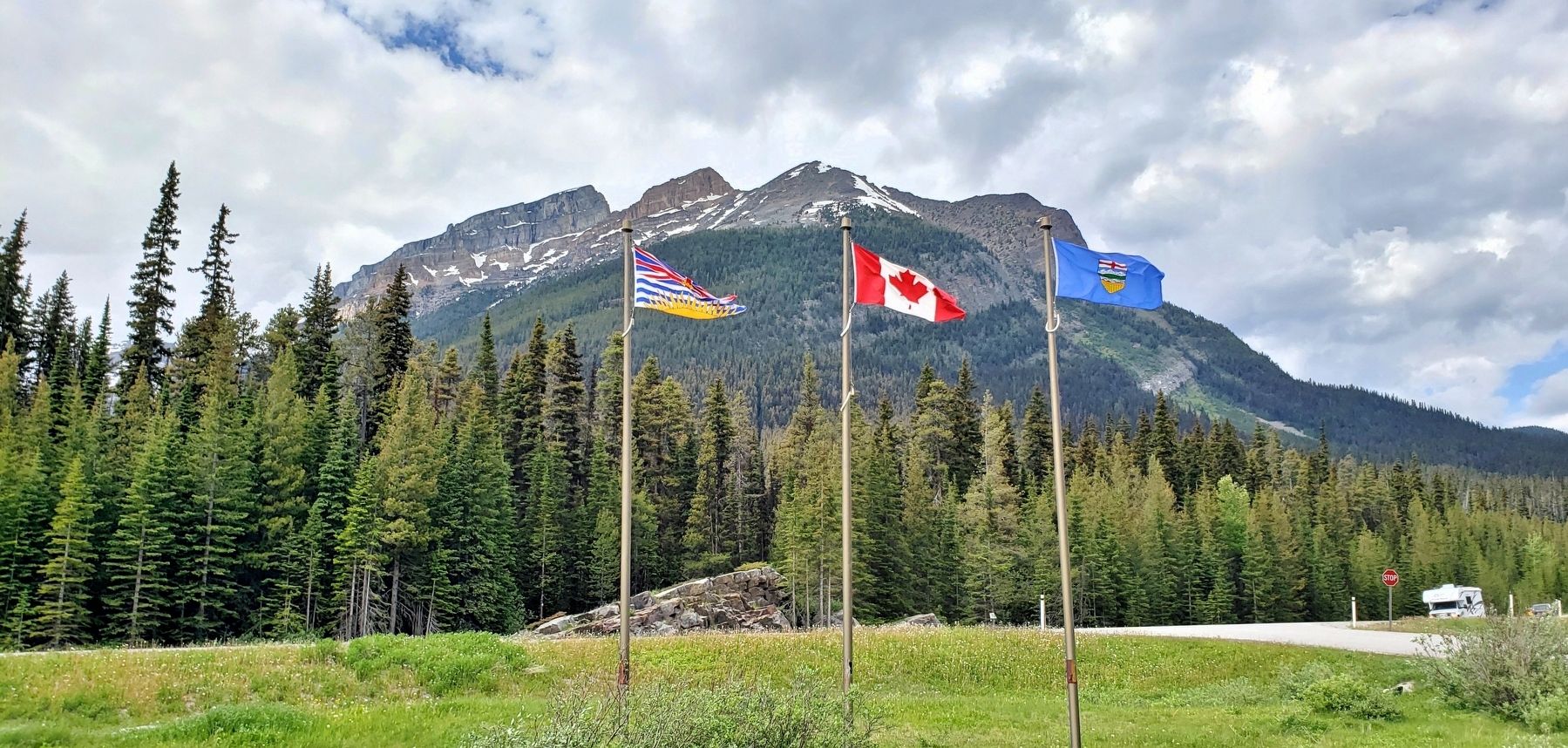
3. British Columbia, Canada and Alberta flags at Vermilion Pass
Looking west from the Vermilion Pass wayside. Banff-Windermere Highway (Provincial Highway 93) is in the background.
Excerpt: a Scottish-New Zealand geologist, naturalist, and surgeon who accompanied the Palliser Expedition as a surgeon and geologist. Shortly after receiving his medical degree, upon the recommendation of Sir Roderick Murchison – director-general of the British Geological Survey – Hector was appointed geologist on the Palliser Expedition under the command of John Palliser. The goal of the Palliser expedition to British North America (now Canada) was to explore new railway routes for the Canadian Pacific Railway and to collect new species of plants.(Submitted on October 9, 2026, by Cosmos Mariner of Cape Canaveral, Florida.)
2. Palliser Expedition (Wikipedia).
Excerpt: The Palliser expedition, officially the British North American Exploring Expedition, explored and surveyed the open prairies and rugged wilderness of western Canada from 1857 to 1860. The expedition was led by Irish-born explorer John Palliser and accompanied by a party of four other men: James Hector, Eugène Bourgeau, Thomas Blakiston and John W. Sullivan. With the support of the British government and the Royal Geographical Society it became an official expedition with the stated purpose of gathering scientific information about the landscapes of British-claimed north-western North America (today's western Canada), in particular the territory of Rupert's Land, including information on the geography, climate, soil, flora and fauna, in order to discover its capabilities for settlement and transportation. As well, local guides and interpreters traveled with the party and assisted with its work.(Submitted on October 9, 2026, by Cosmos Mariner of Cape Canaveral, Florida.)
The expedition was the first detailed and scientific survey of the region between Lake Superior and the southern passes of the Rocky Mountains in British North America. The expedition provided a better understanding of the remote western frontier, and the new observations and knowledge were significant for the expansion into and development of the western prairies by European settlers. The expedition's reports impacted changes in the economy, settlement, transportation, Indigenous communities and the campaign for expansionism in Canada.
Credits. This page was last revised on October 9, 2026. It was originally submitted on October 5, 2026, by Cosmos Mariner of Cape Canaveral, Florida. This page has been viewed 5 times since then. Photos: 1, 2, 3. submitted on October 9, 2026, by Cosmos Mariner of Cape Canaveral, Florida.
