
Custer in Custer County, South Dakota — The American Midwest (Upper Plains)
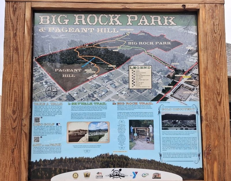
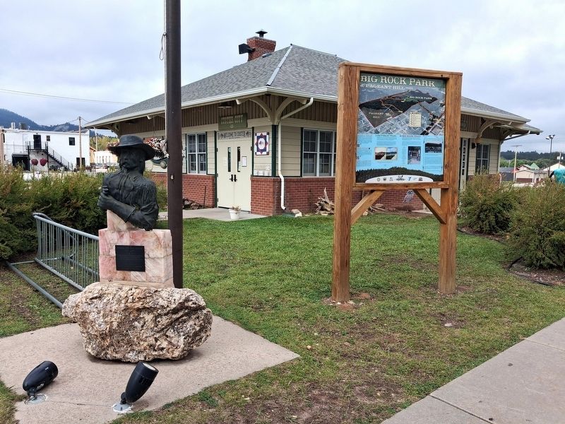
Big Rock Park & Pageant Hill
Gold Discovery
Photographed by William Fischer, Jr., September 22, 2026
1. Big Rock Park & Pageant Hill Marker Excerpt

[Primarily recreational information except]
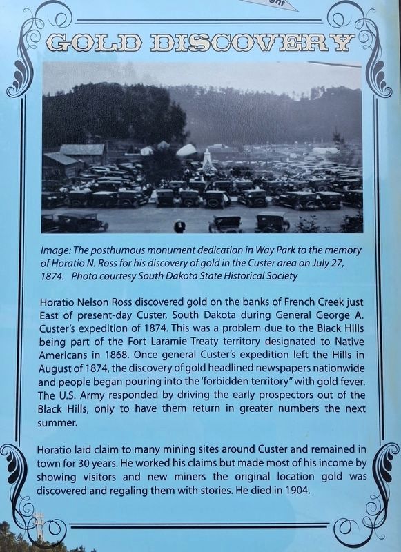
Gold Discovery
Image: The posthumous monument dedication in Way Park to the memory of Horatio N. Ross for his discovery of gold in the Custer area on July 27, 1874. Photo courtesy South Dakota State Historical Society
Horatio Nelson Ross discovered gold on the banks of French Creek just East of present-day Custer, South Dakota during General George A. Custer's expedition of 1874. This was a problem due to the Black Hills being part of the Fort Laramie Treaty territory designated to Native Americans in 1868. Once [G]eneral Custer's expedition left the Hills in August of 1874, the discovery of gold headlined newspapers nationwide and people began pouring into the 'forbidden territory" with gold fever. The U.S. Army responded by driving the early prospectors out of the Black Hills, only to have them return in greater numbers the next summer.
Horatio laid claim to many mining sites around Custer and remained in town for 30 years. He worked his claims but made most of his income by showing visitors and new miners the original location gold was discovered and regaling
this page online
Erected by City of Custer and Concerned Organizations.
Topics. This historical marker is listed in these topic lists: Environment • Exploration • Immigration • Indigenous Peoples and Communities. A significant historical date for this entry is July 27, 1874.
Location. 43° 45.947′ N, 103° 35.867′ W. Marker is in Custer, South Dakota, in Custer County. It is on Washington Street east of 6th Street, on the left when traveling east. Touch for map. Marker is at or near this postal address: 615 Washington Street, Custer SD 57730, United States of America. Touch for directions.

Regionally, this marker is in West River and in Greater Rapid City. It is also in the American Black Hills, in the Lewis & Clark Corridor, on the prairies, and on the Northern Plains. Globally, it is in North America, the Western Hemisphere, the Western World, and the Anglosphere. Historically, it finds itself in what was once Rupert’s Land and also the Louisiana Purchase.
Other nearby markers. At least 8 other markers are within walking distance of this marker: General George A. Custer (here, next to this
Photographed by William Fischer, Jr., September 22, 2026
2. Big Rock Park & Pageant Hill Marker
Photographed by William Fischer, Jr., September 22, 2026
3. Big Rock Park & Pageant Hill Marker
Credits. This page was last revised on October 5, 2026. It was originally submitted on October 5, 2026, by William Fischer, Jr. of Reynoldsburg, Ohio. This page has been viewed 12 times since then. Photos: 1, 2, 3. submitted on October 5, 2026, by William Fischer, Jr. of Reynoldsburg, Ohio.
