Near Roswell in Cobb County, Georgia — The American South (South Atlantic)
Gold Branch
| — | Chattahoochee River National Recreation Area | — |

September 28, 2023
1. Gold Branch Marker
A network of trails leads through wetlands and stands of oak and hickory that once dominated the landscape of northern Georgia. All trails lead to Bull Sluice Lake, that was formed behind the Morgan Falls Dam.
(caption) An early morning mist blankets Bull Sluice Lake.
Erected by National Park Service, U.S. Department of the Interior.
Topics. This historical marker is listed in these topic lists: Indigenous Peoples and Communities • Industry & Commerce • Parks & Recreational Areas • Waterways & Vessels. A significant historical year for this entry is 1828.
Location. 33° 59.059′ N, 84° 23.115′ W. Marker is near Roswell, Georgia, in Cobb County. It can be reached from Lower Roswell Road, on the right when traveling north. At the Gold Branch trailhead. Touch for map. Marker is in this
this page online

Regionally, this marker is in the Piedmont and in Metro Atlanta. It is also in the American South and specifically in the Deep South. Globally, it is in North America, the Western Hemisphere, the Western World, and the Anglosphere. Historically, it finds itself in what was once the original Cherokee Nation, the territory of the Mississippian Culture, one of the original Thirteen Colonies, one of the Confederate States of America, and the Antebellum South.
Other nearby markers. At least 8 other markers are within 3 miles of this marker, measured as the crow flies: Hightower (Etowah) Trail (approx. 1½ miles away); Hightower Indian Trail (approx. 1½ miles away); a different marker also named Hightower (Etowah) Trail (approx. 1½ miles away); Willeo Baptist Church (approx. 1.9 miles away); Garrard’s Cav. & Newton’s Division (approx. 2.3 miles away); Barrington Hall (approx. 2.3 miles away); McPherson’s Troops at Shallow Ford (approx. 2.3 miles away); a different marker also named Barrington Hall (approx. 2.4 miles away). Touch for a list and map
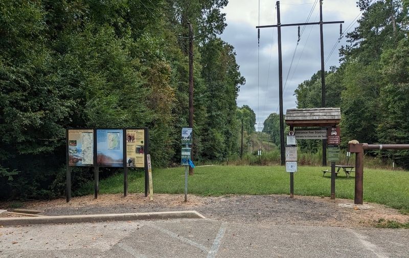
September 28, 2023
2. Gold Branch Marker
Another marker is no longer nearby. Garrard’s Cavalry at Roswell (was approx. half a mile away but has been confirmed missing).
Credits. This page was last revised on October 13, 2026. It was originally submitted on October 7, 2026. This page has been viewed 15 times since then. Photos: 1, 2. submitted on October 7, 2026. • Andrew Ruppenstein was the editor who published this page.
