Near Marietta in Cobb County, Georgia — The American South (South Atlantic)
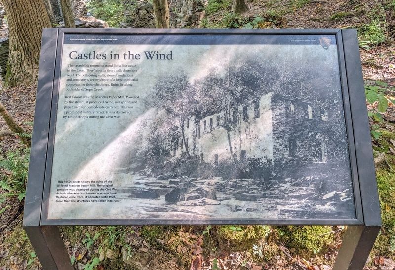
Castles in the Wind
| — | Chattahoochee River National Recreation Area | — |
September 28, 2023
1. Castles in the Wind Marker
Best known was the Marietta Paper Mill. Powered by the stream, it produced twine, newsprint, and paper used for Confederate currency. This was a prominent military target. It was destroyed by Union troops during the Civil War.
(caption) This 1950s photo shows the ruins of the ill-fated Marietta Paper Mill. The original complex was destroyed during the Civil War. Rebuilt afterwards, it burned a second time. Restored once more, it operated until 1902. Since then the structures have fallen into ruin.
Erected by National Park Service, U.S. Department of the Interior.
Topics. This historical marker is listed in these topic lists: Industry & Commerce • Parks & Recreational Areas • War, US Civil • Waterways & Vessels. A significant historical year for this entry is 1902.
Location. 33° 56.394′ N, 84° 26.271′ W. Marker is near Marietta, Georgia,
this page online

Regionally, this marker is in the Piedmont and in Metro Atlanta. It is also in the American South and specifically in the Deep South. Globally, it is in North America, the Western Hemisphere, the Western World, and the Anglosphere. Historically, it finds itself in what was once the original Cherokee Nation, the territory of the Mississippian Culture, one of the original Thirteen Colonies, one of the Confederate States of America, and the Antebellum South.
Other nearby markers. At least 8 other markers are within 3 miles of this marker, measured as the crow flies: Soap Creek Paper Mills (approx. 0.3 miles away); The 23d Corps at Soap Creek (approx. 0.3 miles away); The 23D Corps at Soap Creek (approx. 0.4 miles away); Confederate Battery Position (approx. 1.3 miles away); Gantt House (approx. 1½ miles away); Isom's Ferry (approx. 1.6 miles
September 28, 2023
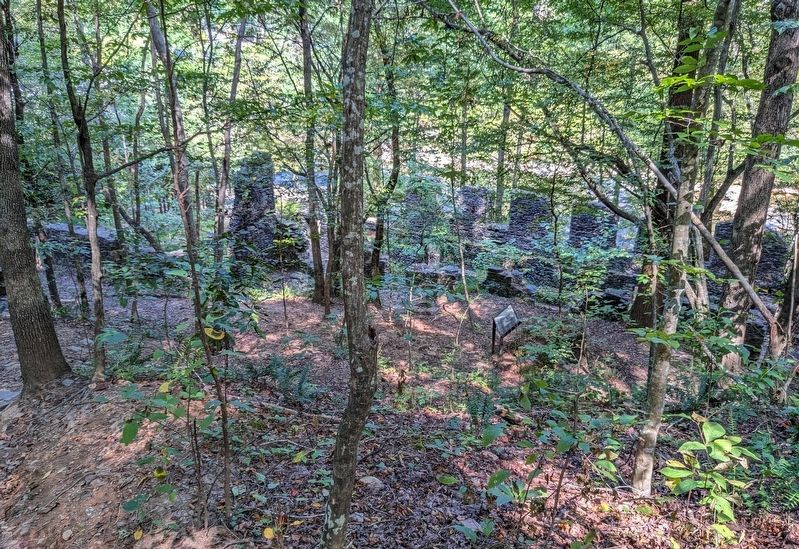
2. Castles in the Wind Marker
Another marker is no longer nearby. Sope Creek Industries (was approx. 0.3 miles away but has been confirmed missing).
September 28, 2023
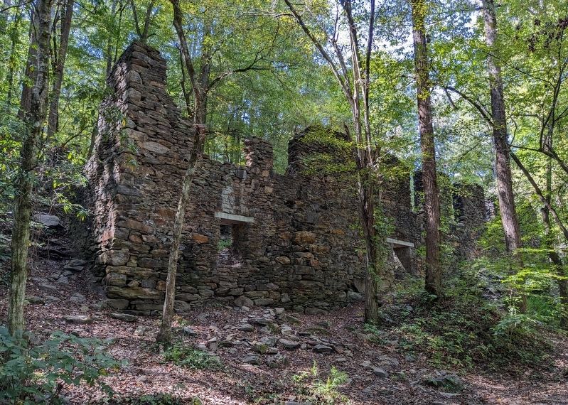
3. Building Ruins
Credits. This page was last revised on October 8, 2026. It was originally submitted on October 7, 2026. This page has been viewed 14 times since then. Photos: 1, 2, 3. submitted on October 7, 2026. • Bernard Fisher was the editor who published this page.
