Wilton in Richmond, Virginia — The American South (Mid-Atlantic)
Wilton
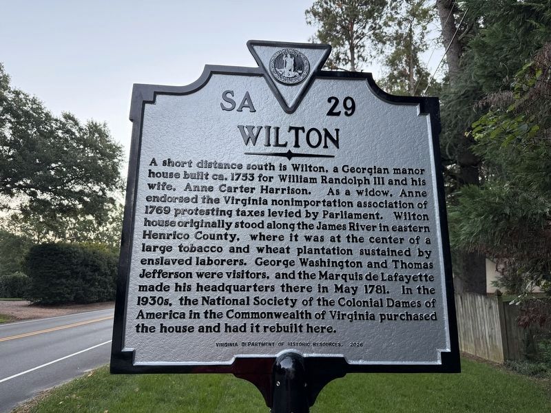
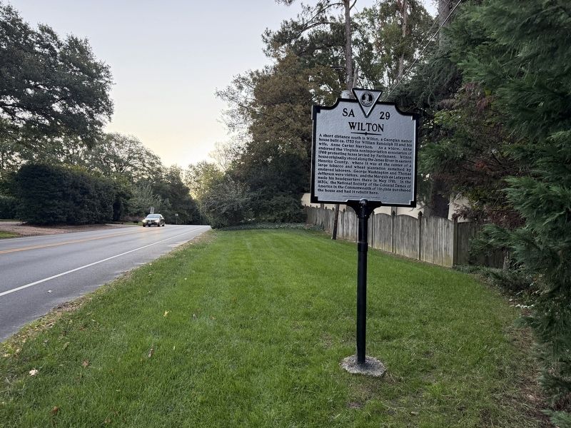
A short distance south is Wilton, a Georgian manor house built ca. 1753 for William Randolph III and his wife, Ann Carter Harrison. As a widow, Anne endorsed the Virginia nonimportation association of 1769 protesting taxes levied by Parliament. Wilton house originally stood along the James River in eastern Henrico County, where it was at the center of a large tobacco and wheat plantation sustained by enslaved laborers. George Washington and Thomas Jefferson were visitors, and the Marquis de Lafayette made his headquarters there in May 1781. In the 1930s, the National Society of the Colonial Dames of america in the Commonwealth of Virginia purchased the house and had it rebuilt here.
Erected 2026 by Virginia Department of Historic Resources. (Marker Number SA-29.)
Topics and series. This historical marker is listed in these topic lists: Agriculture • Architecture • Colonial Era • Fraternal or Sororal Organizations. In addition, it is included in the Virginia Department of Historic Resources (DHR) series list. A significant historical month for this entry is May 1781.
Location. 37° 34.09′ N, 77° 30.944′ W.
this page online

Regionally, this marker is in Central Virginia. It is also in the American South and specifically in the Upper South. Globally, it is in North America, the Western Hemisphere, the Western World, and the Anglosphere. Historically, it finds itself in what was once the territory of the Mississippian Culture, one of the original Thirteen Colonies, one of the Confederate States of America, and the Antebellum South.
Other nearby markers. At least 8 other markers are within walking distance of this marker: Ampthill (about 800 feet away, measured in a direct line); Three-Chopt Road (approx. 0.4 miles away); Richmond Defences (approx. 0.4 miles away); a different marker also named Wilton (approx. 0.4 miles away); The Westwood Community (approx. 0.7 miles away); Westwood Baptist Church (approx. ¾ mile
Other markers no longer nearby. Wilton (has been replaced with this marker); a different marker also named Ampthill (was approx. 0.2 miles away but has been replaced with another marker now near it).
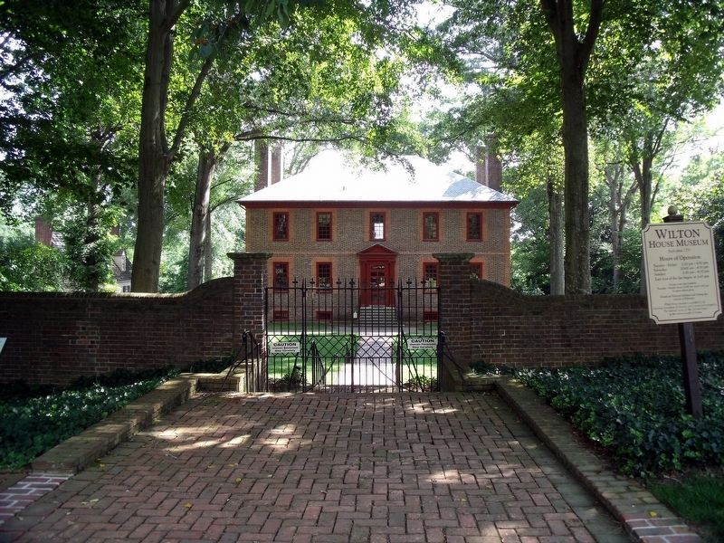
Photographed by Bernard Fisher, July 3, 2009
3. Wilton House Museum
Credits. This page was last revised on October 18, 2026. It was originally submitted on October 18, 2026, by Devry Becker Jones of Washington, District of Columbia. This page has been viewed 6 times since then. Photos: 1, 2. submitted on October 18, 2026, by Devry Becker Jones of Washington, District of Columbia. 3. submitted on July 4, 2009, by Bernard Fisher of Richmond, Virginia.
