Hot Springs in Fall River County, South Dakota — The American Midwest (Upper Plains)
Evans Plunge Mineral Springs
Est. 1890 in Hot Springs, SD
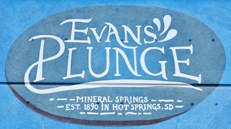
Photographed by William Fischer, Jr., September 25, 2026
1. Evans Plunge Mineral Springs Marker
[Mural highlights evolution of hot springs use from indigenous to modern day]
Erected by Evans Plunge.
Topics. This historical marker is listed in these topic lists: Environment • Indigenous Peoples and Communities • Settlements & Settlers • Waterways & Vessels. A significant historical year for this entry is 1890.
Location. 43° 26.471′ N, 103° 28.834′ W. Marker is in Hot Springs, South Dakota, in Fall River County. It is on River Street (State Highway 18B) north of Battle Mountain Avenue (U.S. 385), on the right when traveling north. Touch for map. Marker is at or near this postal address: 1145 North River Street, Hot Springs SD 57747, United States of America. Touch for directions.

Regionally, this marker is in West River. It is also in the American Black Hills, in the Lewis & Clark Corridor, on the prairies, and on the Northern Plains. Globally, it is in North America, the Western Hemisphere, the Western World, and the Anglosphere. Historically, it finds itself in what was once Rupert’s Land and also the Louisiana Purchase.
Other nearby markers. At least 8 other markers are within
this page online
Another marker is no longer nearby. An Old Jail (was approx. 0.3 miles away but has been replaced with another marker now near it).
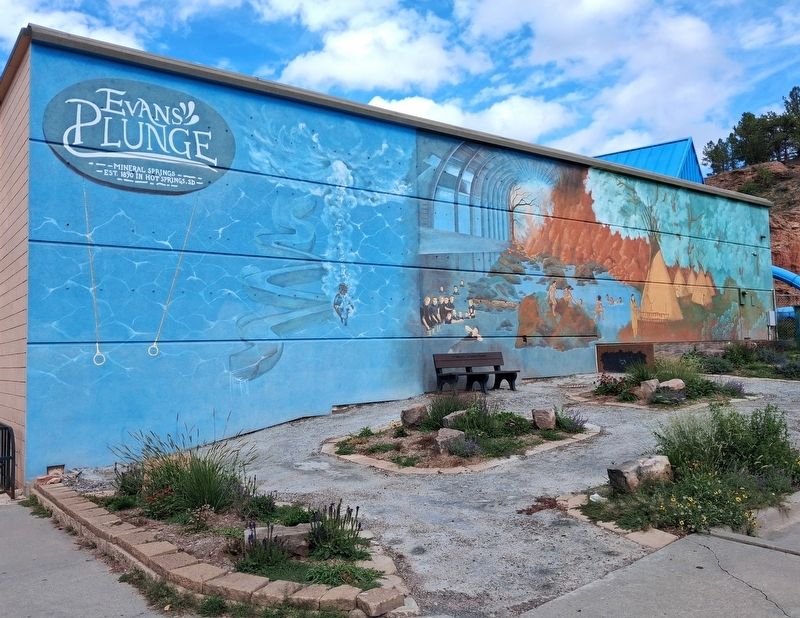
Photographed by William Fischer, Jr., September 25, 2026
2. Evans Plunge Mineral Springs Marker and Mural
Credits. This page was last revised on October 20, 2026. It was originally submitted on October 20, 2026, by William Fischer, Jr. of Reynoldsburg, Ohio. This page has been viewed 3 times since then. Photos: 1, 2. submitted on October 20, 2026, by William Fischer, Jr. of Reynoldsburg, Ohio.
