Near Warrenton in Fauquier County, Virginia — The American South (Mid-Atlantic)
Colonial Road
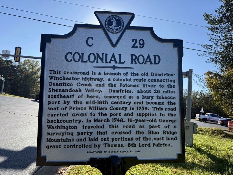
This crossroad is a branch of the old Dumfries-Winchester highway, a colonial route connecting Quantico Creek and the Potomac River to the Shenandoah Valley. Dumfries, about 26 miles southeast of here, emerged as a busy tobacco port by the mid-18th century and became the seat of Prince William County in 1759. This road carried crops to the port and supplies to the backcountry. In March 1748, 16-year-old George Washington traveled this road as part of a surveying party that crossed the Blue Ridge Mountains and laid out portions of the vast land grant controlled by Thomas, 6th Lord Fairfax.
Erected 2018 by Department of Historic Resources. (Marker Number C-29.)
Topics and series. This historical marker is listed in these topic lists: Agriculture • Colonial Era • Political Subdivisions • Roads & Vehicles. In addition, it is included in the Virginia Department of Historic Resources (DHR) series list. A significant historical month for this entry is March 1748.
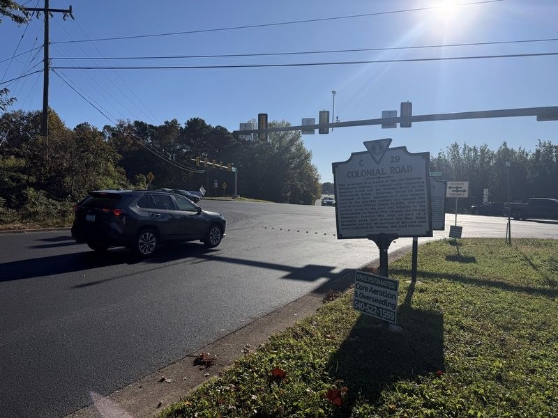
Location. 38° 44.269′ N, 77° 46.02′ W. Marker is near Warrenton, Virginia, in Fauquier County. It is at the intersection of Colonial Road and Lee Highway
this page online

Regionally, this marker is in the Washington Metropolitan Area and in Northern Virginia. It is also in the American South, specifically in the Upper South, and in the Mid-Atlantic. Globally, it is in North America, the Western Hemisphere, the Western World, and the Anglosphere. Historically, it finds itself in what was once the territory of the Mississippian Culture, one of the original Thirteen Colonies, one of the Confederate States of America, and the Antebellum South.
Other nearby markers. At least 8 other markers are within 3 miles of this marker, measured as the crow flies: McClellan’s Farewell (about 300 feet away); Christ's Chapel on Baldwin Ridge (approx. 1.9 miles away); Rosenwald Schools in Fauquier (approx. 2 miles away); Eva Walker Memorial Park (approx. 2.1 miles away); Brentmoor (approx. 2.2 miles away); Brentmoor: The Spilman-Mosby House (approx. 2.2 miles away); 1812 Rose Garden (approx. 2.3 miles
Other markers no longer nearby. Colonial Road (was a few steps from this marker but has been replaced with another marker now near it); Fredericksburg Campaign (was about 300 feet away, measured in a direct line but has been permanently removed); Buckland Races (was about 600 feet away but has been permanently removed).
Credits. This page was last revised on October 24, 2026. It was originally submitted on October 24, 2026, by Devry Becker Jones of Washington, District of Columbia. This page has been viewed 7 times since then. Photos: 1, 2. submitted on October 24, 2026, by Devry Becker Jones of Washington, District of Columbia.
