Near Paris in Fauquier County, Virginia — The American South (Mid-Atlantic)
Restoring the American Chestnut
Sky Meadows State Park
| — | Virginia State Parks, Department of Conservation and Recreation | — |
Photographed by Devry Becker Jones (CC0), October 24, 2026
1. Restoring the American Chestnut Marker
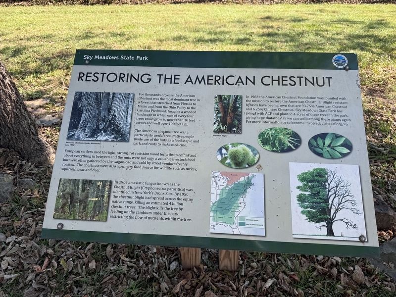
For thousands of years the American Chestnut was the most dominant tree in a forest that stretched from Florida to Maine and from the Ohio Valley to the Carolina Piedmont. Imagine a wooded landscape in which one of every four trees could grow to more than 10 feet across and well over 100 feet tall.
The American chestnut tree was a particularly useful tree. Native people made use of the nuts as a food staple and bark and roots to make medicine.
European settlers used the light, strong, rot resistant wood for cribs to coffins and about everything in between and the nuts were not only a valuable livestock food but were often gathered by the wagonland and sold by street vendors freshly roasted. The chestnuts were also a primary food stource for wildlife such as turkey, squirrels, bear and deer.
In 1904 an asiatic fungus known as the Chestnut Blight (Cryphonectria parasitica) was identified in New York's Bronx Zoo. By 1950 the chestnut blight had spread across the entire native range, killing an estimated 4 billion chestnut trees. The blight kills the tree by feedong on the cambium udner the bark restricting the flow
this page online
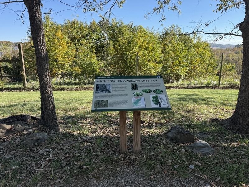
In 1983 the American Chestnut foundation with the mission to restore the American Chestnut. Blight resistant hybridge have been grown that are 93.75% American Chestnut and 6.25% Chinese Chestnut. Sky Meadows State Park has joined with ACF and planted 4 acres of these trees in the park, giving hope that one day we can walk among these giants again. For more information or to become involved, visit: acf.org/va
Erected by Virginia State Parks, Department of Conservation and Recreation.
Topics. This historical marker is listed in these topic lists: Anthropology & Archaeology • Environment • Horticulture & Forestry • Indigenous Peoples and Communities. A significant historical year for this entry is 1904.
Location. 38° 59.424′ N, 77° 58.142′ W. Marker is near Paris, Virginia, in Fauquier County. It is on Boston Mill Road 0.1 miles south of North Ridge Trail, on the left when traveling south. Touch for map. Marker is at or near this postal address: 1124 Winchester Rd, Paris VA 20130, United States of America. Touch for directions.

Regionally, this marker is in the Washington Metropolitan
Photographed by Devry Becker Jones (CC0), October 24, 2026
2. Restoring the American Chestnut Marker
Other nearby markers. At least 8 other markers are within 2 miles of this marker, measured as the crow flies: Natural Buffer (about 500 feet away, measured in a direct line); Hadow Trail (about 500 feet away); Boston Mill Road Trail (about 600 feet away); a different marker also named Boston Mill Road Trail (about 700 feet away); Conserving Your Dark Skies (approx. 0.2 miles away); Snowden Trail (approx. 0.2 miles away); Mount Bleak Farm (approx. 0.2 miles away); Jackson’s Bivouac (approx. 1.4 miles away). Touch for a list and map of all markers in Paris.
Additional keywords. chestnut blight
Credits. This page was last revised on October 25, 2026. It was originally submitted on October 25, 2026, by Devry Becker Jones of Washington, District of Columbia. This page has been viewed 6 times since then. Photos: 1, 2. submitted on October 25, 2026, by Devry Becker Jones of Washington, District of Columbia.
