Downtown in Peterborough, Ontario — Central Canada (North America)
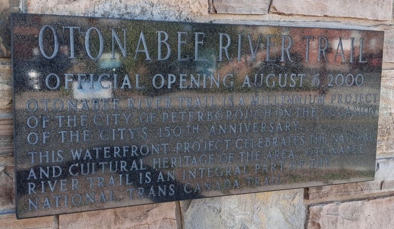
Otonabee River Trail
Official Opening August 6, 2000
Photographed by William Fischer, Jr., October 9, 2026
1. Otonabee River Trail Marker
Otonabee River Trail is a millennium project of the City of Peterborough on the occasion of the city's 150th anniversary.
This waterfront project celebrates the natural and cultural heritage of the area. Otanabee River Trail is an integral part of the national Trans Canada Trail.
Erected 2000 by City of Peterborough.
Topics. This historical marker is listed in these topic lists: Charity & Public Work • Environment • Parks & Recreational Areas • Waterways & Vessels. A significant historical date for this entry is August 6, 2000.
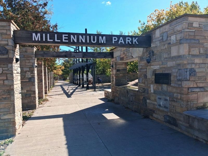
Location. 44° 18.117′ N, 78° 19.13′ W. Marker is in Peterborough, Ontario. It is in Downtown. It is at the intersection of King Street and Water Street, on the right when traveling east on King Street. Marker is on the fountain in Millenium Park. Touch for map. Marker is at or near this postal address: 131 King Street, Peterborough ON K9J 0A5, Canada. Touch for directions.

Regionally, this marker is in Central Canada. Globally, it is in North America, the Western Hemisphere, the Western World, and the Anglosphere. Historically, it finds itself in what was once a British
this page online
Other nearby markers. At least 8 other markers are within walking distance of this marker: Millenium Walkway (a few steps from this marker); The River (a few steps from this marker); The Landscape (a few steps from this marker); In the Glacier's Wake (a few steps from this marker); The First Nations (a few steps from this marker); Full Circle (a few steps from this marker); From Frontier Town... (within shouting distance of this marker); ...To Bustling City (within shouting distance of this marker). Touch for a list and map of all markers in Peterborough.
Also see . . . Otonabee River Trail, Recipient of CLSA 2002 National Honour for Design. (Submitted on October 27, 2026, by William Fischer, Jr. of Reynoldsburg, Ohio.)
Photographed by William Fischer, Jr., October 9, 2026
2. Otonabee River Trail Marker
Credits. This page was last revised on October 27, 2026. It was originally submitted on October 27, 2026, by William Fischer, Jr. of Reynoldsburg, Ohio. This page has been viewed 5 times since then. Photos: 1, 2. submitted on October 27, 2026, by William Fischer, Jr. of Reynoldsburg, Ohio.
