Downtown in Peterborough, Ontario — Central Canada (North America)
The River
Otonabee River Trail
Photographed by William Fischer, Jr., October 9, 2026
1. The River Marker
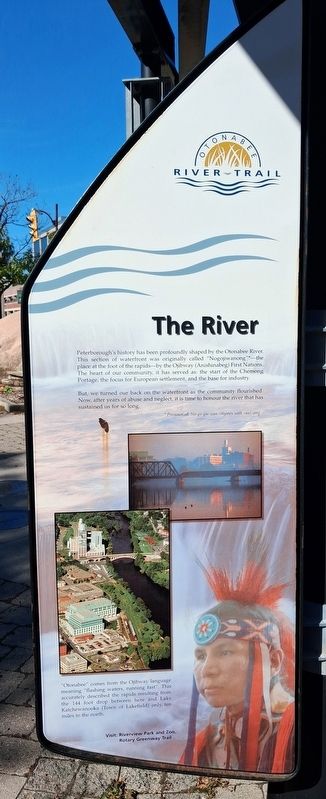
Peterborough's history has been profoundly shaped by the Otonabee River. This section of waterfront was originally called "Nogojiwanong"*—the place at the foot of the rapids-by the Ojibway (Anishinabeg) First Nations. The heart of our community, it has served as: the start of the Chemong Portage, the focus for European settlement, and the base for industry.
But, we turned our back on the waterfront as the community flourished. Now, after years of abuse and neglect, it is time to honour the river that has sustained us for so long.
*Pronounced: No-go-gee-wan (rhymes with ran)-ong
"Otonabee" comes from the Ojibway language meaning "flashing waters, running fast". This accurately described the rapids resulting from the 144 foot drop between here and Lake Katchewanooka (Town of Lakefield) only ten miles to the north.
Visit: Riverview Park and Zoo, Rotary Greenway Trail
Erected 2000 by City of Peterborough.
Topics. This historical marker is listed in these topic lists: Environment • Indigenous Peoples and Communities • Industry & Commerce • Waterways & Vessels. A significant historical year for this entry is 2000.
Location. 44° 18.114′ N, 78° 19.119′ W. Marker is in Peterborough, Ontario. It is in Downtown. It is on King Street just east of Water Street, on the right when traveling east. Marker and Walkway are in Millenium Park. Touch for map. Marker is at or near this postal address: 131 King Street, Peterborough ON K9J 0A5, Canada. Touch for directions.

Regionally, this marker is in Central Canada. Globally, it is in North America, the Western Hemisphere, the Western World, and the Anglosphere. Historically, it finds itself in what was once a British colony, the Viceroyalty of New France, the Haudenosaunee (Iroquois) Confederacy, and Rupert’s Land.
Other nearby markers. At
this page online
Photographed by William Fischer, Jr., October 9, 2026
2. The River Marker
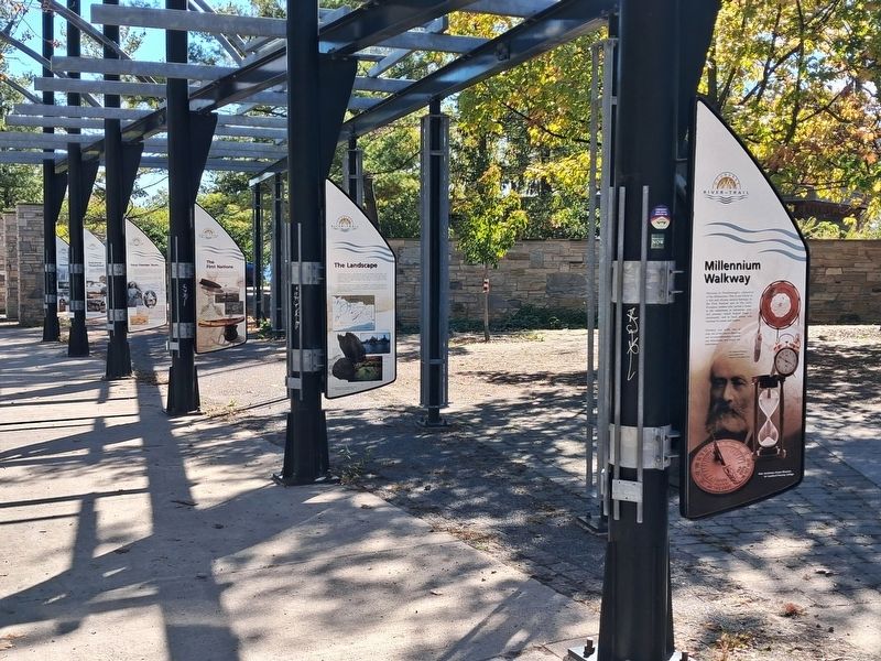
On opposite side of pole, behind Walkway marker, not visible in photo
Photographed by William Fischer, Jr., October 9, 2026
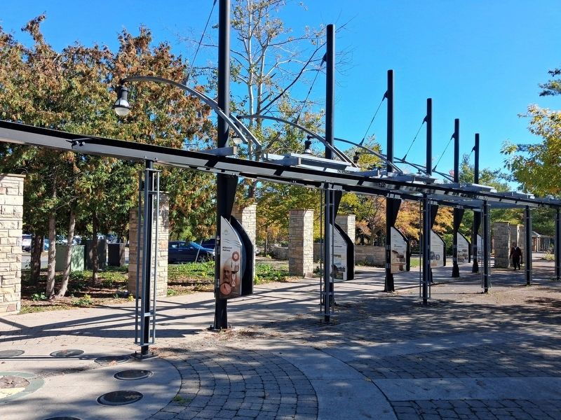
3. Millenium Walkway
Credits. This page was last revised on October 27, 2026. It was originally submitted on October 27, 2026, by William Fischer, Jr. of Reynoldsburg, Ohio. This page has been viewed 5 times since then. Photos: 1, 2, 3. submitted on October 27, 2026, by William Fischer, Jr. of Reynoldsburg, Ohio.
