Downtown in Peterborough, Ontario — Central Canada (North America)
In the Glacier's Wake
Otonabee River Trail
Photographed by William Fischer, Jr., October 9, 2026
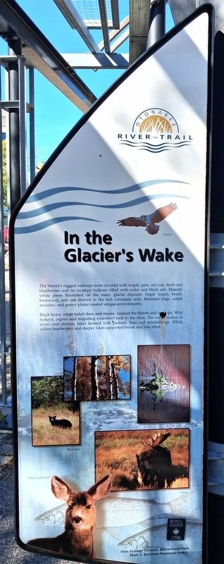
1. In the Glacier's Wake Marker
The Shield's rugged outcrops were covered with maple, pine, red oak, birch and blueberries and its swampy hollows filled with cedar and black ash. Majestic white pines flourished on the many glacial deposits. Sugar maple, beech, basswood, and oak thrived in the rich Lowlands soils. Remnant bogs, cattail marshes, and grassy plains created unique environments.
Black bears, white-tailed deer, and moose roamed the forests and swamps. Wild turkeys, osprey and migrating waterfowl took to the skies. The warm waters of rivers and shallow lakes teemed with pickerel, bass and muskellunge. While colder headwaters and deeper lakes supported brook and lake trout.
[Photo captions]
• Osprey • Silver birch • Pine forest • Black bear • White-tailed deer • Moose
Visit: Ecology Gardens, Beavermead Park, Mark S. Burnham Provincial Park
Erected 2000 by City of Peterborough.
Topics. This historical marker is listed in these topic lists: Animals • Environment • Parks & Recreational Areas • Waterways & Vessels. A significant historical year for this entry is 2000.
Location. 44° 18.113′ N, 78° 19.117′ W. Marker is in Peterborough, Ontario. It is in Downtown. It is on King Street east of Water Street, on the right when traveling east. Marker and Walkway are in Millenium Park. Touch for map. Marker is at or near this postal address: 131 King Street, Peterborough ON K9J 0A5, Canada. Touch for directions.

Regionally, this marker is in Central Canada. Globally, it is in North America, the Western Hemisphere, the Western World, and the Anglosphere. Historically, it finds itself in what was once a British colony, the Viceroyalty of New France, the Haudenosaunee (Iroquois) Confederacy, and Rupert’s Land.
Other nearby markers. At least 8 other markers are within walking distance of this marker:
this page online
Photographed by William Fischer, Jr., October 9, 2026
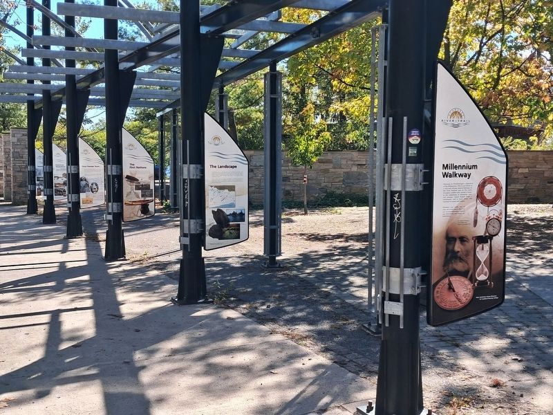
2. In the Glacier's Wake Marker along Walkway
On opposite side of second pole, not visible in photo
Photographed by William Fischer, Jr., October 9, 2026
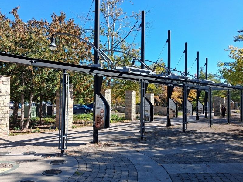
3. Millenium Walkway
Credits. This page was last revised on October 28, 2026. It was originally submitted on October 28, 2026, by William Fischer, Jr. of Reynoldsburg, Ohio. This page has been viewed 5 times since then. Photos: 1, 2. submitted on October 28, 2026, by William Fischer, Jr. of Reynoldsburg, Ohio. 3. submitted on October 27, 2026, by William Fischer, Jr. of Reynoldsburg, Ohio.
