Downtown in Peterborough, Ontario — Central Canada (North America)
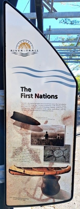
The First Nations
Otonabee River Trail
Photographed by William Fischer, Jr., October 9, 2026
1. The First Nations Marker
Canada's aboriginal peoples have lived here since the last glacier melted 11,000 years ago. Living in harmony with Mother Earth, they followed a seasonal cycle of hunting, fishing, gathering and later farming. Their inventions of the canoe, snowshoes, and the toboggan set the standard for wilderness travel.
Oral traditions and archaeological evidence show that various groups of aboriginal peoples, with different languages, customs and traditions, lived in this area over countless generations. But, they are generally regarded as the ancestors of the Ojibway (Anishinabeg) who are the majority of First Nations members living here today.
[Photo captions, top to bottom, read]
• Spearhead point from the Paleozoic period over 9000 years ago
• Collecting rice on Rice Lake
• Turtle image from the Petroglyphs Provincial Park
• Ojibway Birch Bark Caroe
• A rare find — an intact 900 year old coarse earthenware pot
Visit: Petroglyphs Provincial Park, Serpent Mounds Park
Erected 2000 by City of Peterborough.
Topics. This historical marker is listed in these topic lists: Environment • Indigenous Peoples and Communities • Waterways & Vessels. A significant historical year for this entry is 2000.
Location. 44° 18.113′ N, 78° 19.114′ W. Marker is in Peterborough, Ontario. It is in Downtown. It is on King Street just east of Water Street, on the right when traveling east. Marker and Walkway are in Millenium Park. Touch for map. Marker is at or near this postal address: 131 King Street, Peterborough ON K9J 0A5, Canada. Touch for directions.

Regionally, this marker is in Central Canada. Globally, it is in North America, the Western Hemisphere, the Western World, and the Anglosphere. Historically, it finds itself in what was once a British colony, the Viceroyalty of New France,
this page online
Other nearby markers. At least 8 other markers are within walking distance of this marker: Full Circle (here, next to this marker); From Frontier Town... (here, next to this marker); ...To Bustling City (here, next to this marker); The Landscape (here, next to this marker); In the Glacier's Wake (here, next to this marker); Millenium Walkway (here, next to this marker); The River (here, next to this marker); Industrial Waterfront (here, next to this marker). Touch for a list and map of all markers in Peterborough.
Also see . . . Anishinabe History: Ojibway Indians of Ontario. (Submitted on October 28, 2026, by William Fischer, Jr. of Reynoldsburg, Ohio.)
Photographed by William Fischer, Jr., October 9, 2026
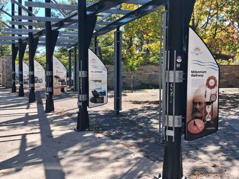
2. The First Nations Marker
Third marker back
Photographed by William Fischer, Jr., October 9, 2026
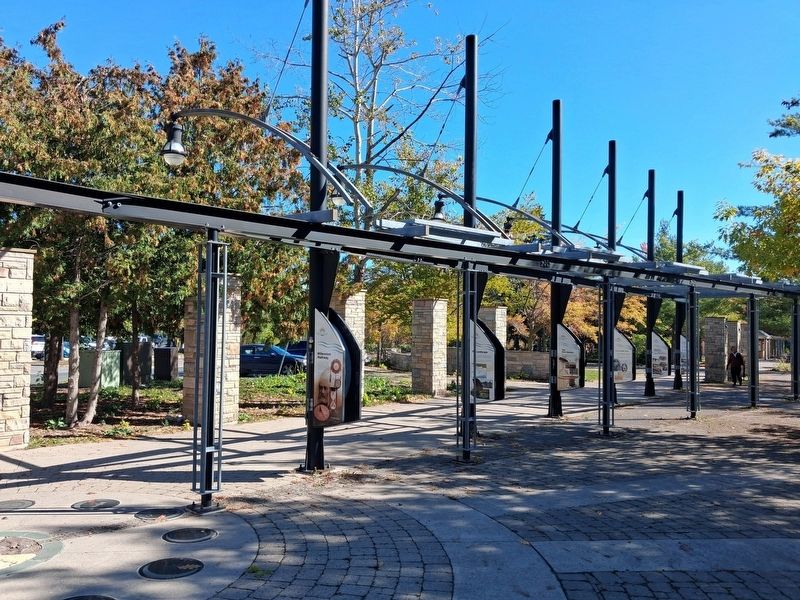
3. Millenium Walkway
Credits. This page was last revised on October 28, 2026. It was originally submitted on October 28, 2026, by William Fischer, Jr. of Reynoldsburg, Ohio. This page has been viewed 6 times since then. Photos: 1, 2. submitted on October 28, 2026, by William Fischer, Jr. of Reynoldsburg, Ohio. 3. submitted on October 27, 2026, by William Fischer, Jr. of Reynoldsburg, Ohio.
