Edisto Island in Colleton County, South Carolina — The American South (South Atlantic)
Coastal Heritage Under Threat
Photographed by Tom Bosse, October 26, 2026
1. Coastal Heritage Under Threat Marker
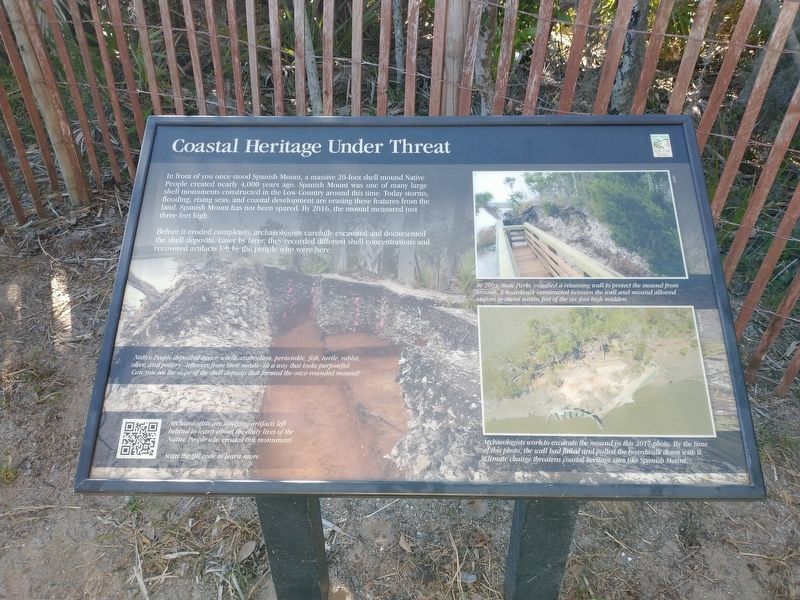
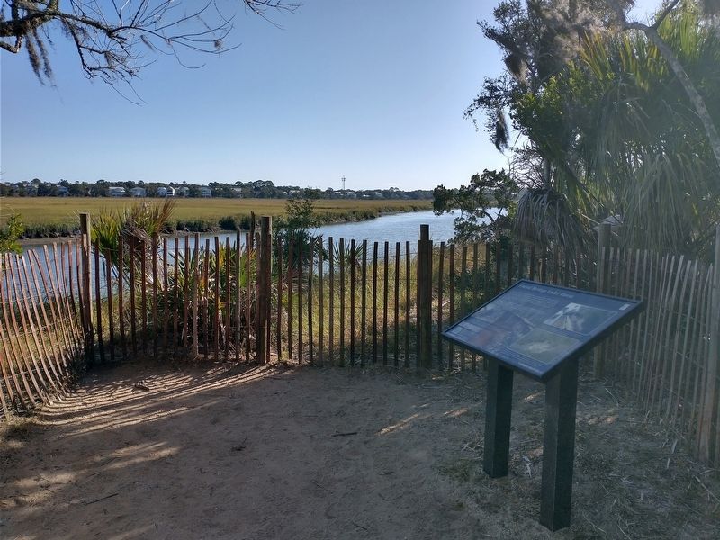
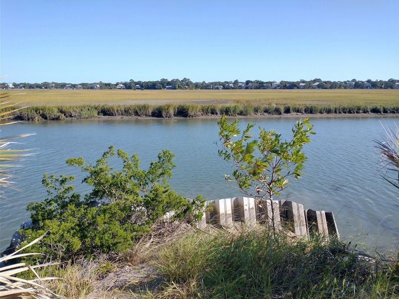
In front of you once stood Spanish Mount, a massive 20-foot shell mound Native People created nearly 4,000 years ago. Spanish Mount was one of many large shell monuments constructed in the Low Country around this time. Today storms, flooding, rising seas, and coastal development are erasing these features from the land. Spanish Mount has not been spared. By 2016, the mound measured just three feet high.
Before it eroded completely, archaeologists carefully excavated and documented the shell deposits. Layer by layer, they recorded different shell concentrations and recovered artifacts left by the people who were here.
Native People deposited oyster, whelk, crab, clam, periwinkle, fish, turtle, rabbit, deer, and pottery - leftovers from their meals - in a way that looks purposeful. Can you see the slope of shell deposits that formed the once-rounded mound?
Archaeologists are studying artifacts left behind to learn about the daily lives of the Native People who created this monument.
[Caption]: In 2005, State Parks installed a retaining wall to protect the mound from erosion. A boardwalk constructed between the
this page online
[Caption]: Archaeologists work to excavate the mound in this 2017 photo. By the time of this photo, the wall had failed and pulled the boardwalk down with it. Climate change threatens coastal heritage sites like Spanish Mount.
Erected by South Carolina State Park Service.
Topics. This historical marker is listed in these topic lists: Anthropology & Archaeology • Indigenous Peoples and Communities • Man-Made Features. A significant historical year for this entry is 2005.
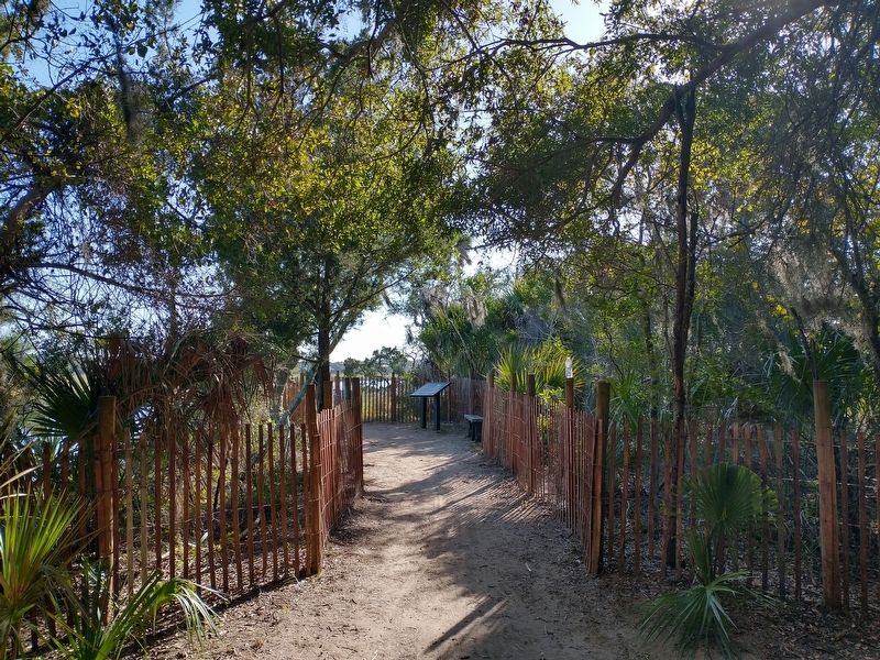
Location. 32° 30.283′ N, 80° 18.616′ W. Marker is on Edisto Island, South Carolina, in Colleton County. It can be reached from State Cabin Road, in the median. Marker is located at the end of Spanish Mount Trail at Edisto Beach State Park. Touch for map. Marker is in this post office area: Edisto Island SC 29438, United States of America. Touch for directions.

Regionally, this marker is in the Lowcountry, in the Ashepoo and Combahee and Edisto Basin. It is also in the American South, specifically in the Deep South, and on the Eastern Seaboard. Globally, it is in the
Photographed by Tom Bosse, October 26, 2026
2. Coastal Heritage Under Threat Marker
Other nearby markers. At least 8 other markers are within 5 miles of this marker, measured as the crow flies: "The Walls of Segregation are Crumbling" (approx. 0.8 miles away); Bache's Bar of Invariable Length (approx. 0.9 miles away); How to Measure the World, and Why (approx. 0.9 miles away); The CCC: Building Parks for America (approx. 0.9 miles away); The Struggle for a Long Straight Line (approx. 0.9 miles away); Markers in the Woods (approx. 0.9 miles away); Edisto Island Baptist Church (approx. 4.9 miles away); Hephzibah J. Townsend (approx. 4.9 miles away). Touch for a list and map of all markers in Edisto Island.
Photographed by Tom Bosse, October 26, 2026
3. Coastal Heritage Under Threat Marker
Photographed by Tom Bosse, October 26, 2026
4. Scott Creek as seen from Spanish Mount
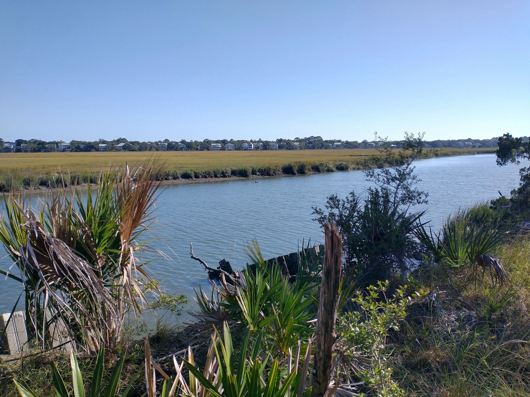
Photographed by Tom Bosse, October 26, 2026
5. Scott Creek as seen from Spanish Mount
Credits. This page was last revised on November 4, 2026. It was originally submitted on November 2, 2026, by Tom Bosse of Jefferson City, Tennessee. This page has been viewed 9 times since then. Photos: 1, 2, 3, 4, 5. submitted on November 2, 2026, by Tom Bosse of Jefferson City, Tennessee. • Andrew Ruppenstein was the editor who published this page.
