Albuquerque in Bernalillo County, New Mexico — The American Mountains (Southwest)
Rinconada Canyon Trail
| — | Petroglyph National Monument | — |
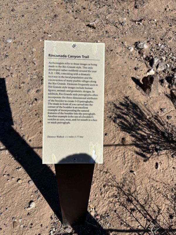
Photographed by Benjamin Rubin, October 12, 2026
1. Rinconada Canyon Trail Marker
Archeologists refer to these images as being made in the Rio Grande style. This style developed rather suddenly around the year A.D. 1300, coinciding with a dramatic increase in the local population and the construction of many pueblo villages along the Rio Grande. Elements frequently seen in Rio Grande style images include human figures, animals and geometric designs. In addition, Rio Grande style petroglyphs often incorporate the three dimensional attributes of the boulder to create 3-D petroglyphs. The mask in front of you carved into the corner of the boulder is an excellent example of incorporating the natural features of the boulder into the petroglyph. Another example is the use of a boulder's vesicles as eyes, nose, and /or mouth in a face or mask petroglyph.
Distance Walked: 1.1 miles (1.77 km)
Erected by National Park Service.
Topics. This historical marker is listed in these topic lists: Anthropology & Archaeology • Indigenous Peoples and Communities • Parks & Recreational Areas. A significant historical year for this entry is 1300.
Location. 35° 7.553′ N, 106° 44.498′ W. Marker is in Albuquerque,
this page online

Regionally, this marker is in the New Mexico’s Rio Grande Valley. It is also in the American Southwest. Globally, it is in North America, the Western Hemisphere, the Western World, and the Anglosphere. Historically, it finds itself in what was once New Spain and also the Republic of Texas.
Other nearby markers. At least 8 other markers are within 3 miles of this marker, measured as the crow flies: The Legacy of the Atrisco Land Grant (approx. 1.9 miles away); The Measuring Lady (approx. 1.9 miles away); One of the Largest Petroglyph Sites (approx. 2 miles away); A Proud Tradition (approx. 2 miles away); Protection of Petroglyphs - Cliff Base Trail (approx. 2.8 miles away); Rio Grande Style - Cliff Base Trail (approx. 2.8 miles away); Petroglyph Placement - Cliff Base Trail (approx. 2.8 miles away); Desert Varnish - Cliff Base Trail (approx. 2.8 miles away). Touch for a list and map of all markers in Albuquerque.
Credits. This page was last revised on November 10, 2026. It was originally submitted on November 2, 2026, by Benjamin Rubin of Columbia, South Carolina. This page has been viewed 10 times since then. Photo 1. submitted on November 2, 2026, by Benjamin Rubin of Columbia, South Carolina. • J. Makali Bruton was the editor who published this page.
Editor’s want-list for this marker. A wide view photo of the marker and the surrounding area together in context. • Photos of the petroglyphs. • Can you help?
