Martinsville, Virginia — The American South (Mid-Atlantic)
Chief Tassel
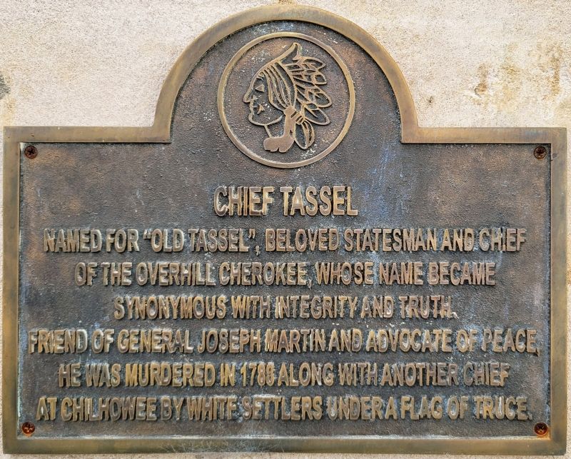
Photographed by C. Ryan Dodson, November 4, 2026
1. Chief Tassel Marker
Erected 2022.
Topics. This historical marker is listed in these topic lists: Colonial Era • Indigenous Peoples and Communities • Peace • Settlements & Settlers • Wars, US Indian. A significant historical year for this entry is 1788.
Location. 36° 41.441′ N, 79° 52.289′ W. Marker is in Martinsville, Virginia. It is at the intersection of Church Street East and Broad Street, on the left when traveling east on Church Street East. Touch for map. Marker is at or near this postal address: 51 Church Street East, Martinsville VA 24112, United States of America. Touch for directions.

Regionally, this marker is in Southern Virginia. It is also in the American South and specifically in the Upper South. Globally, it is in North America, the Western Hemisphere, the Western World, and the Anglosphere. Historically,
this page online
Other nearby markers. At least 8 other markers are within walking distance of this marker: 1930s to 1950s (within shouting distance of this marker); 1960s to 1980s (within shouting distance of this marker); 1990s and beyond (within shouting distance of this marker); Furnishing a Nation (within shouting distance of this marker); The Early Years (within shouting distance of this marker); Martinsville Seven (about 500 feet away, measured in a direct line); Henry County U.D.C. Monument (about 600 feet away); Martinsville (about 600 feet away). Touch for a list and map of all markers in Martinsville.
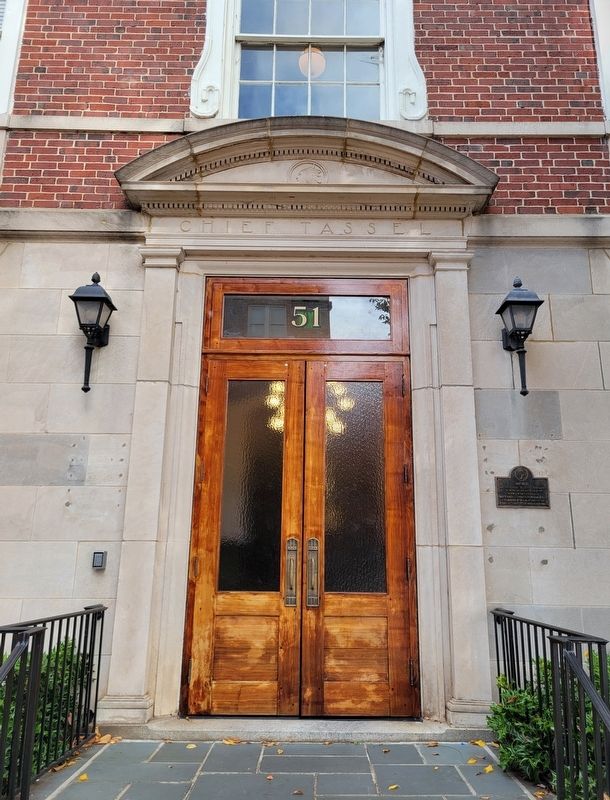
Photographed by C. Ryan Dodson, November 4, 2026
2. Chief Tassel Marker
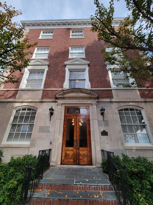
Photographed by C. Ryan Dodson, November 4, 2026
3. Chief Tassel Marker
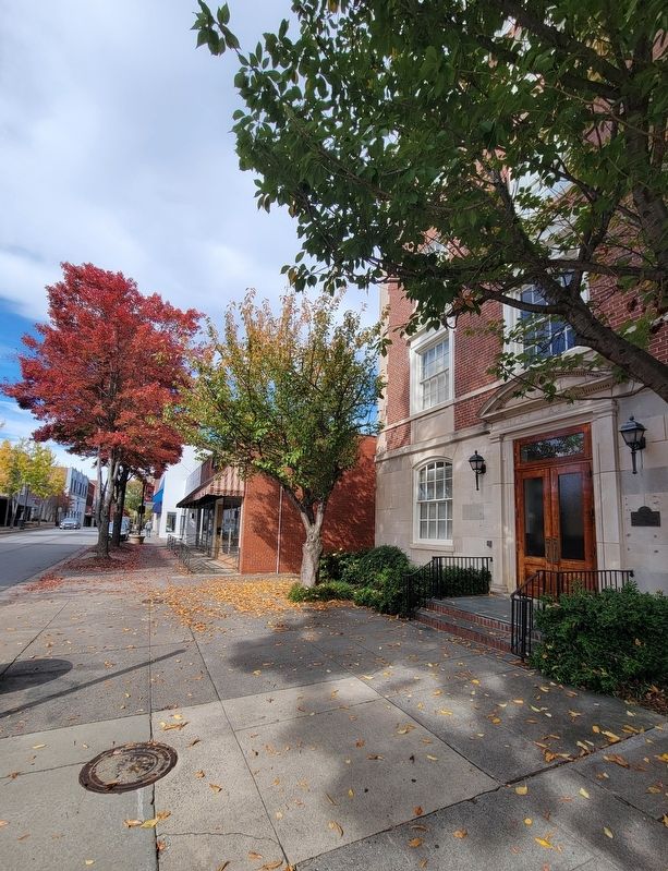
Photographed by C. Ryan Dodson, November 4, 2026
4. Chief Tassel Marker
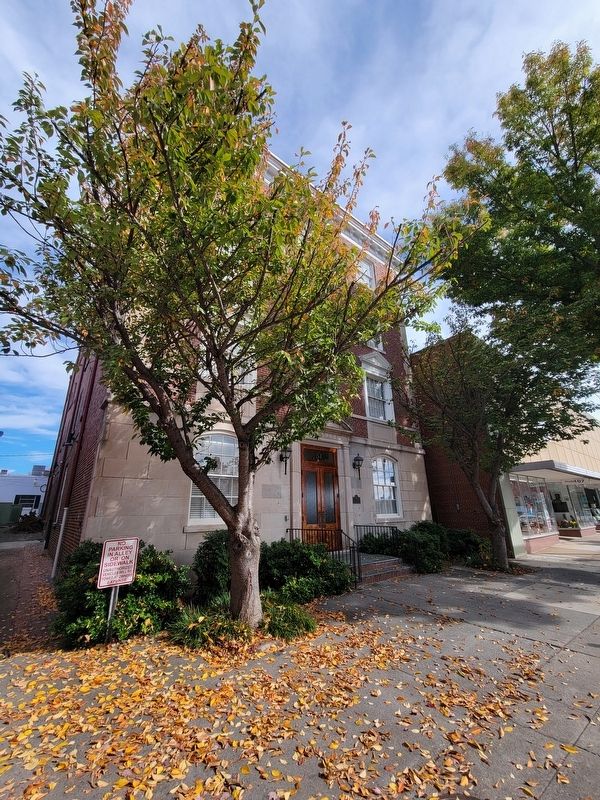
Photographed by C. Ryan Dodson, November 4, 2026
5. Chief Tassel Marker
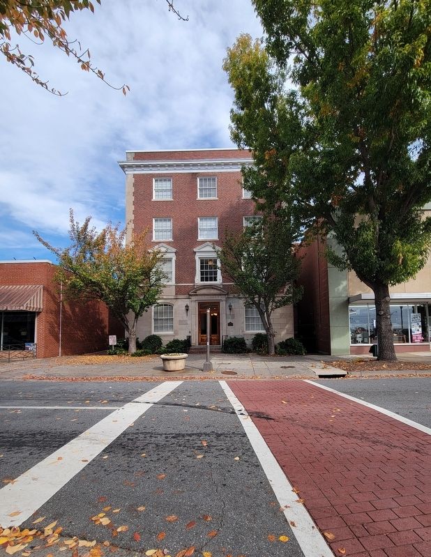
Photographed by C. Ryan Dodson, November 4, 2026
6. Chief Tassel Marker
Credits. This page was last revised on November 7, 2026. It was originally submitted on November 4, 2026, by C. Ryan Dodson of Danville, Virginia. This page has been viewed 11 times since then. Photos: 1, 2, 3, 4, 5, 6. submitted on November 4, 2026, by C. Ryan Dodson of Danville, Virginia. • Bernard Fisher was the editor who published this page.
